From Arizona, California, Colorado & Utah with rainbows, storms and blue skies.


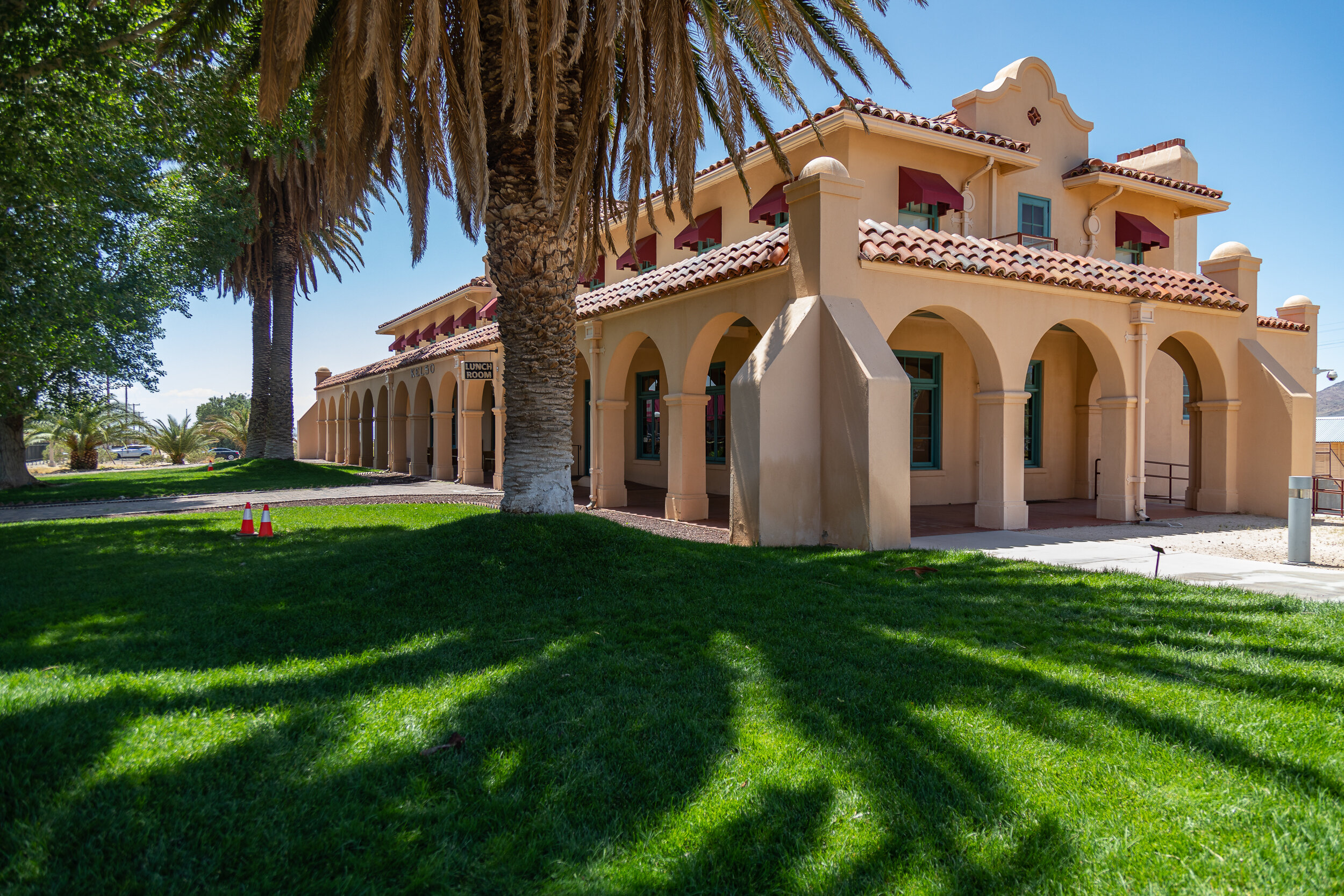
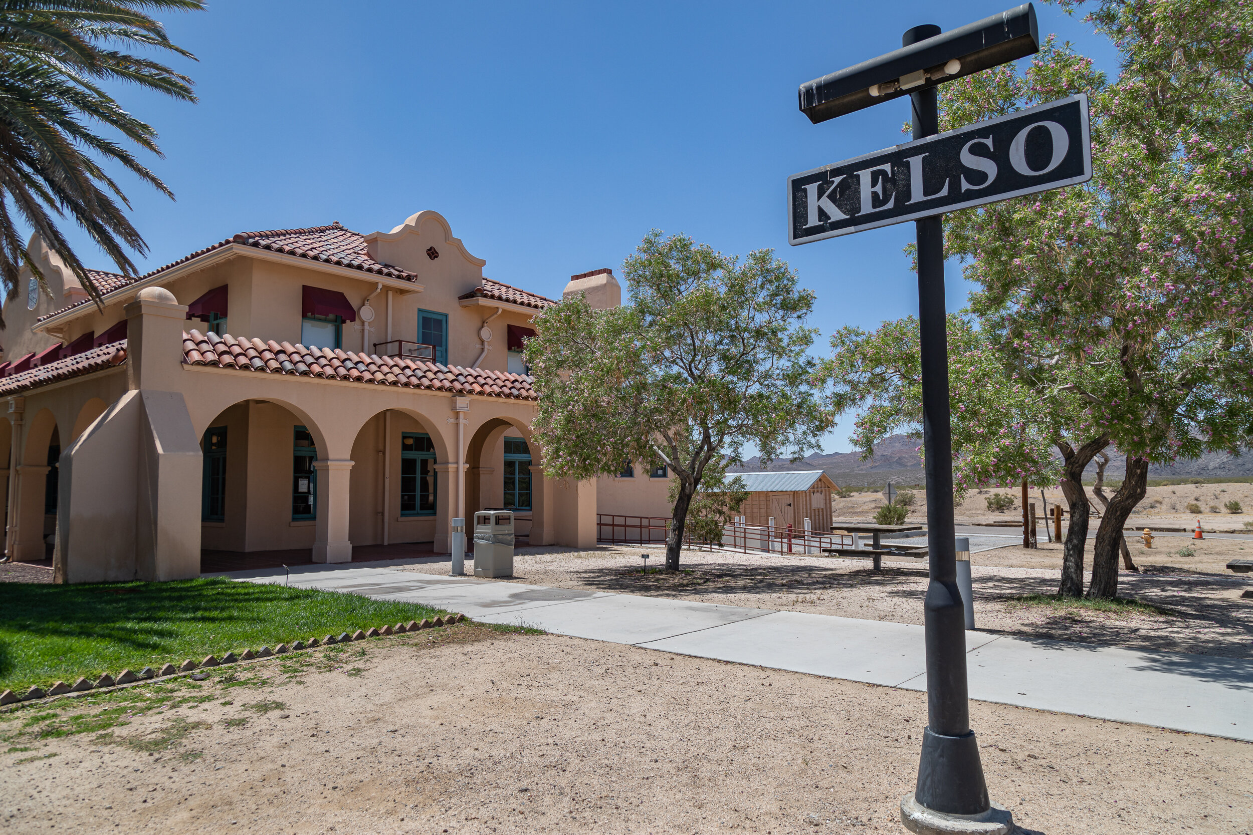
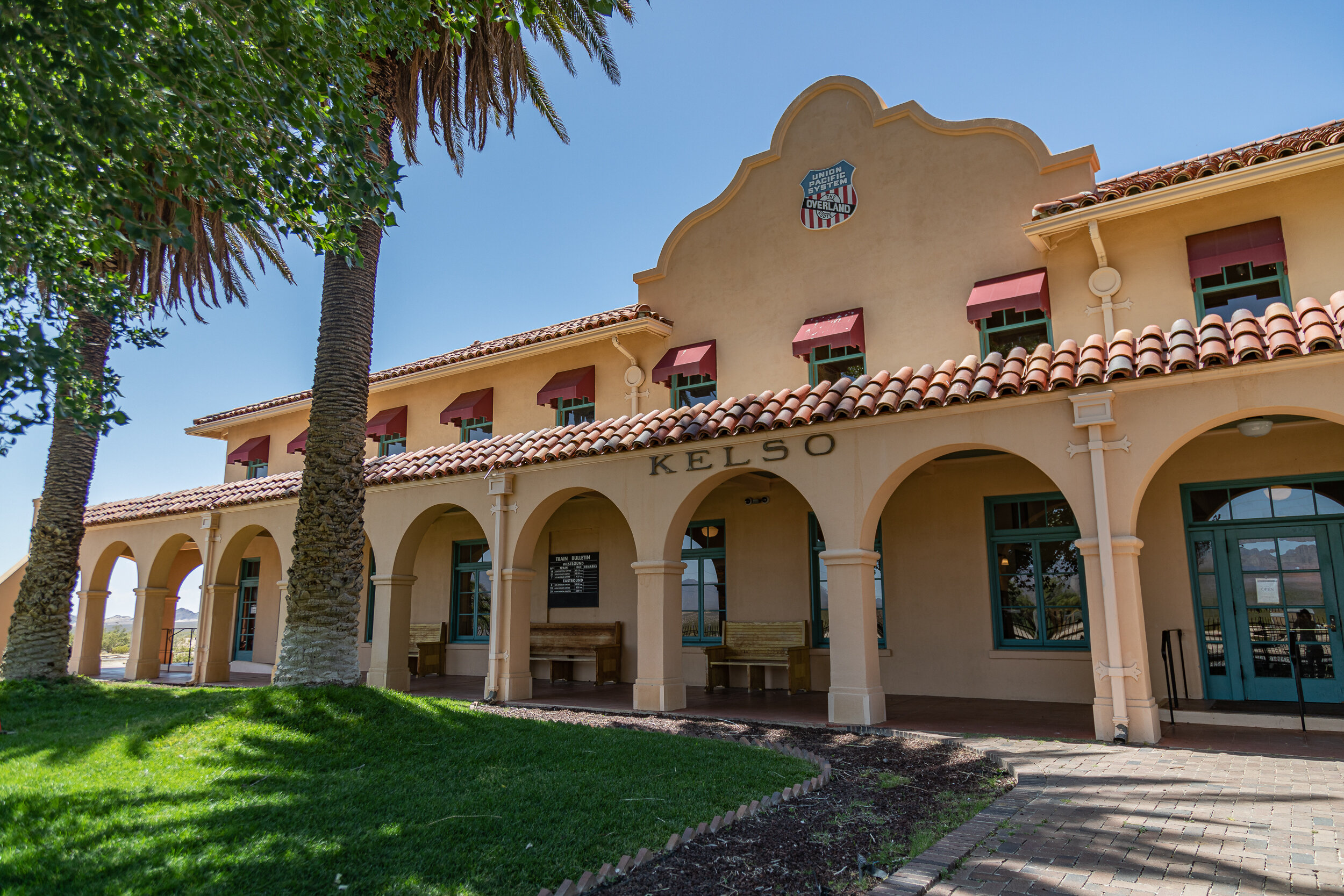
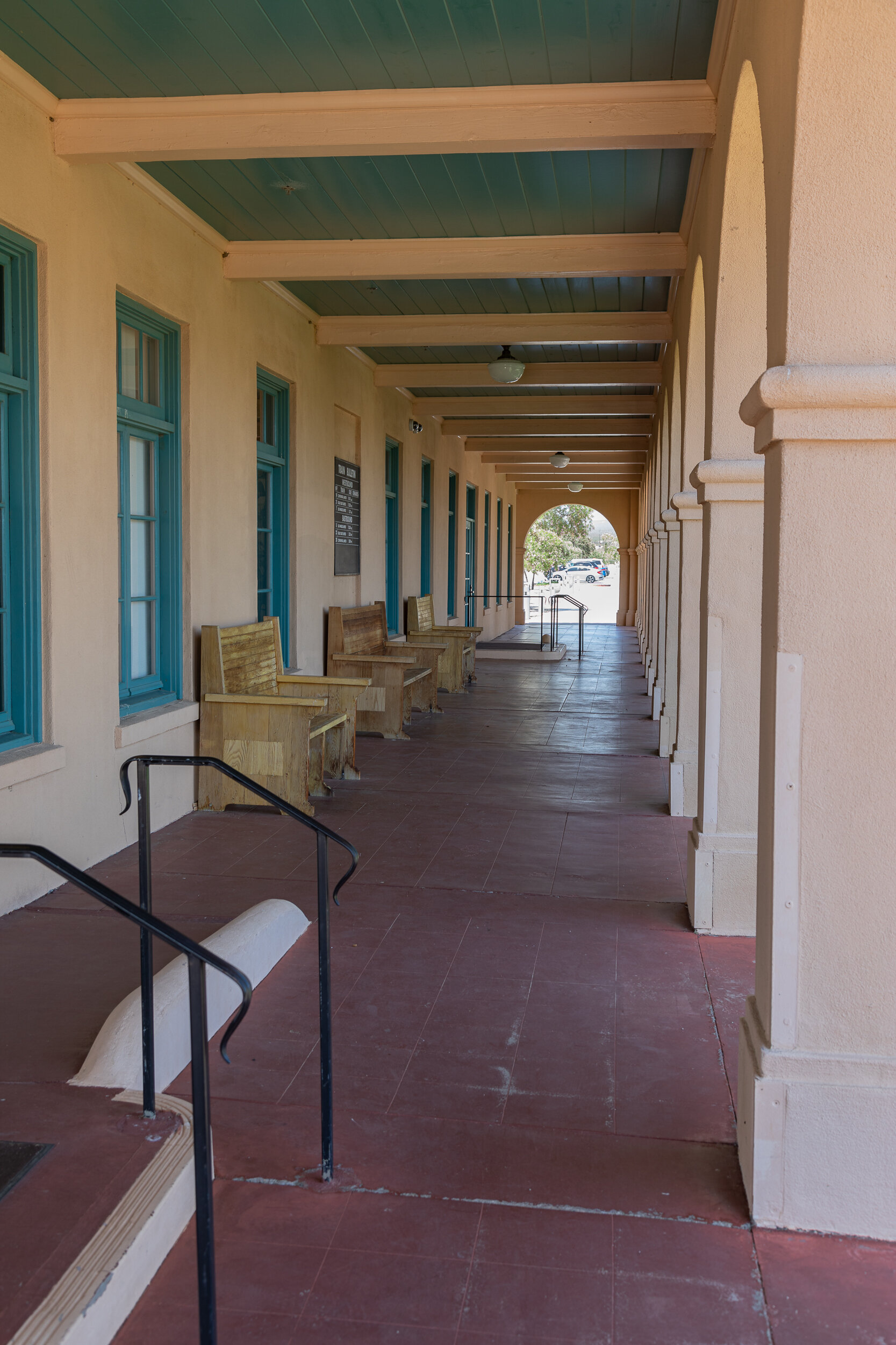
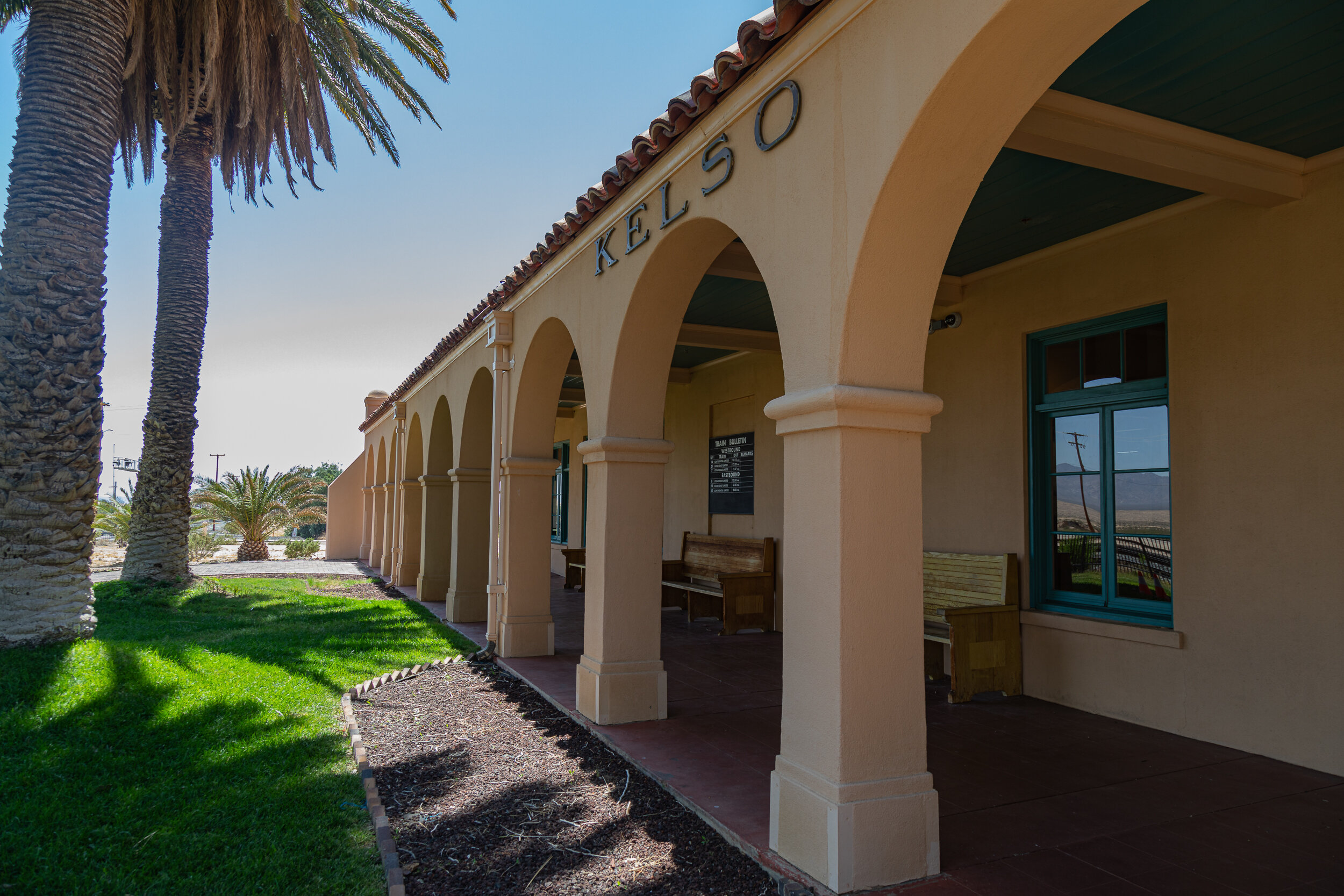
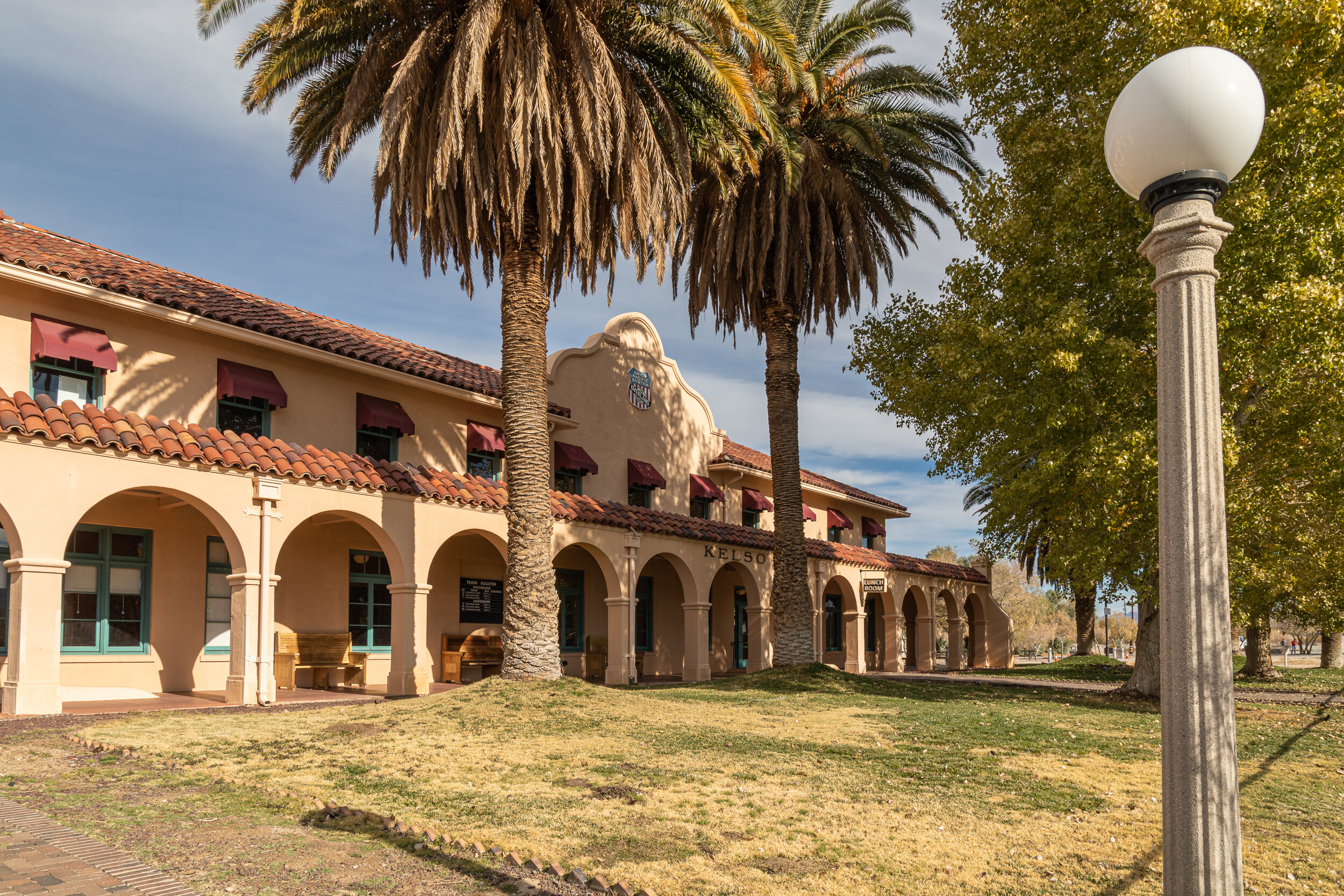
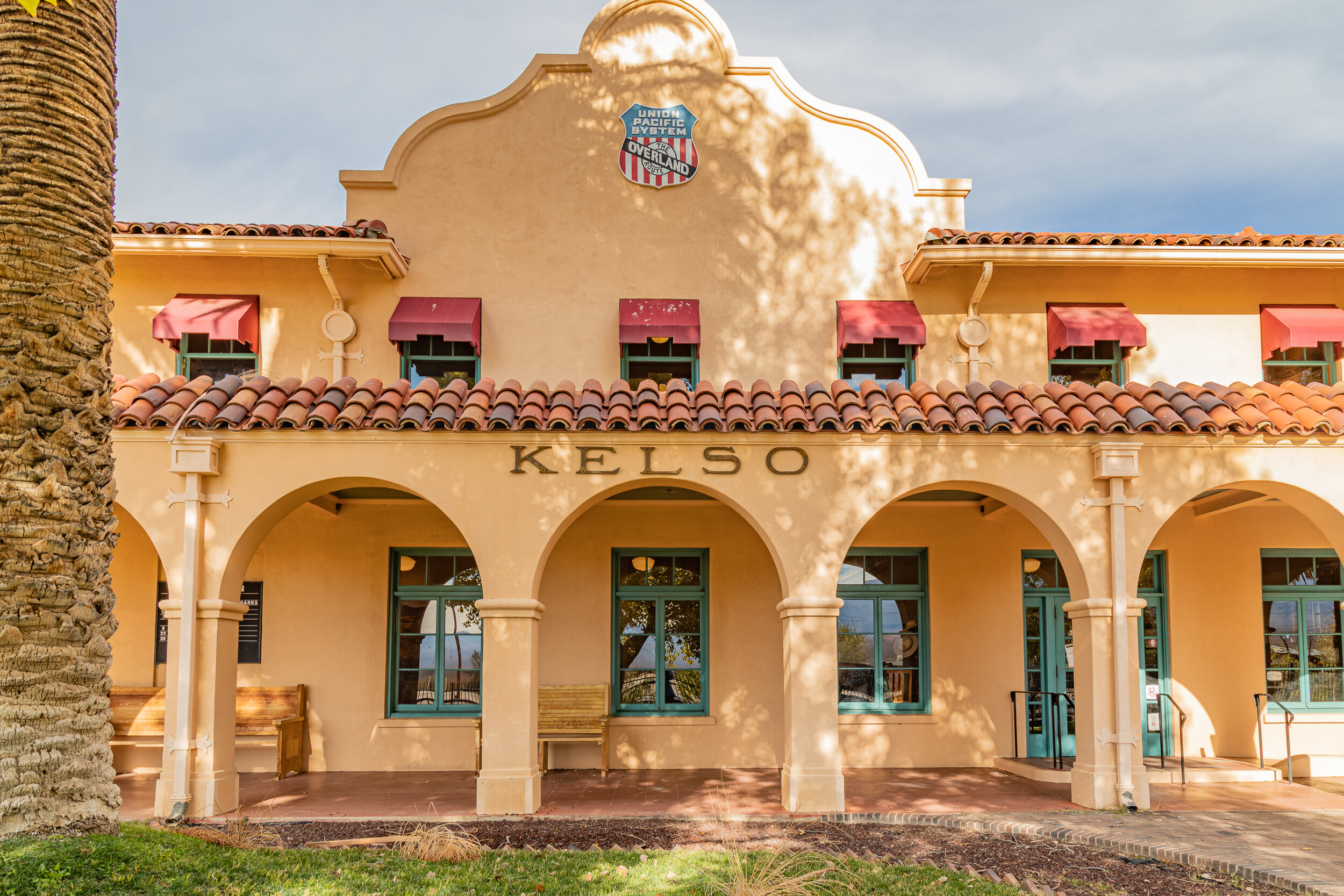
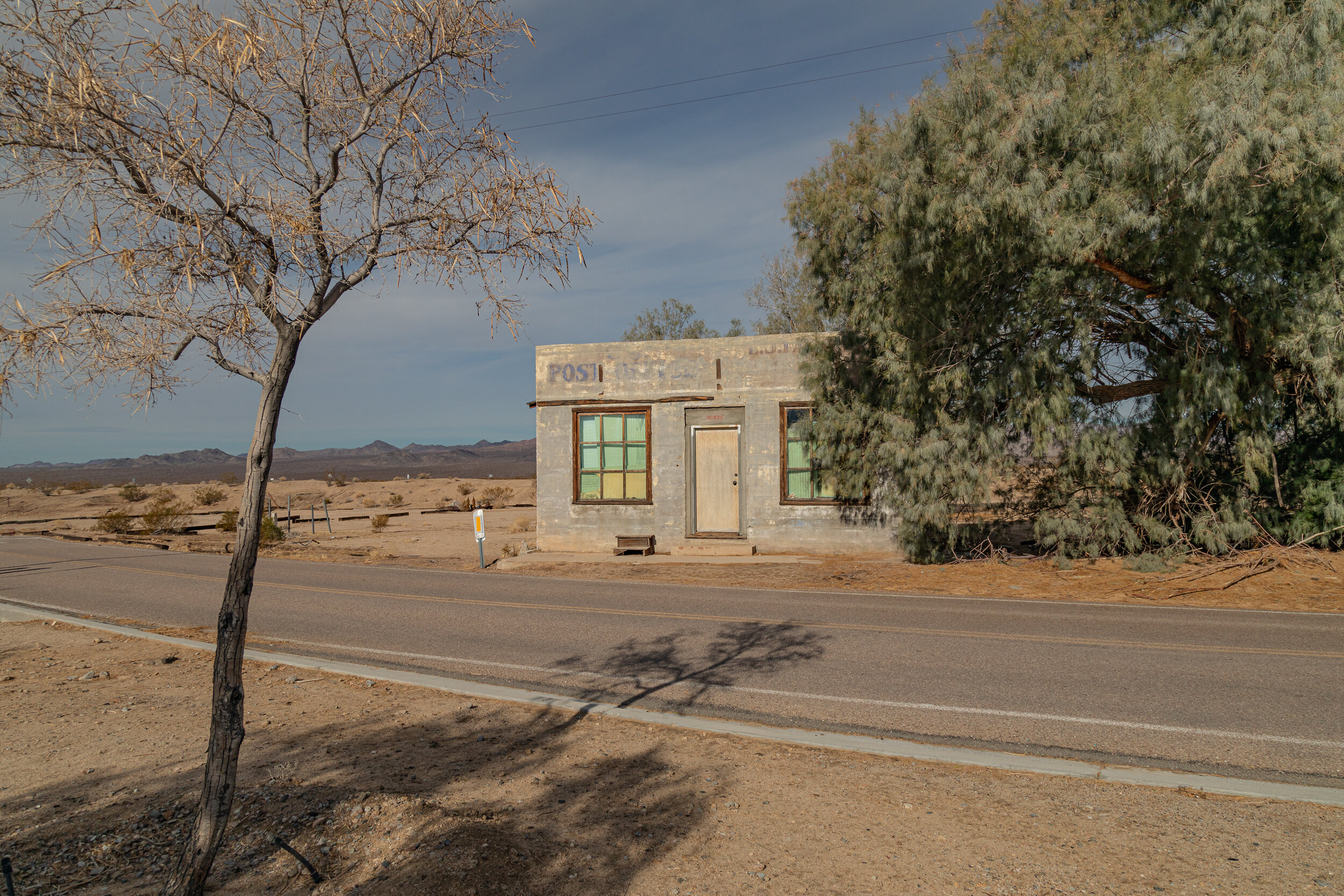
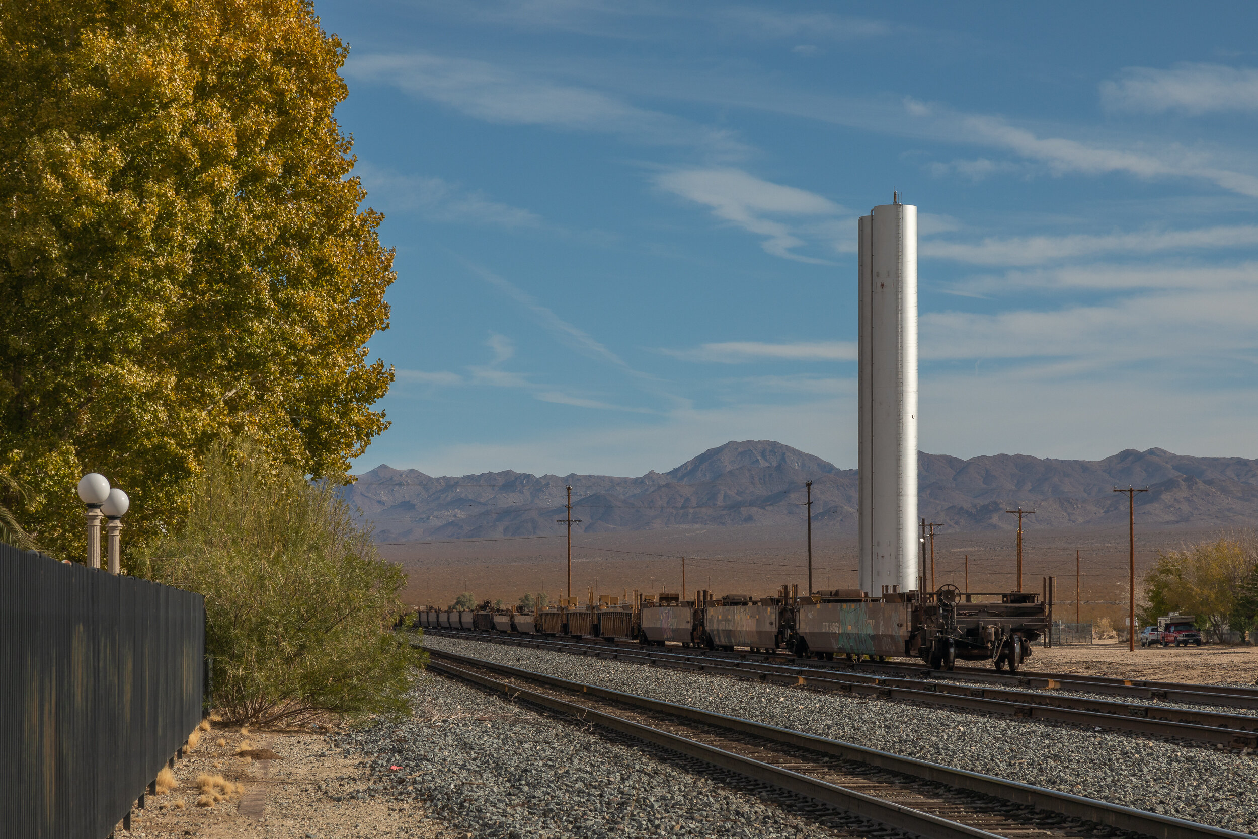
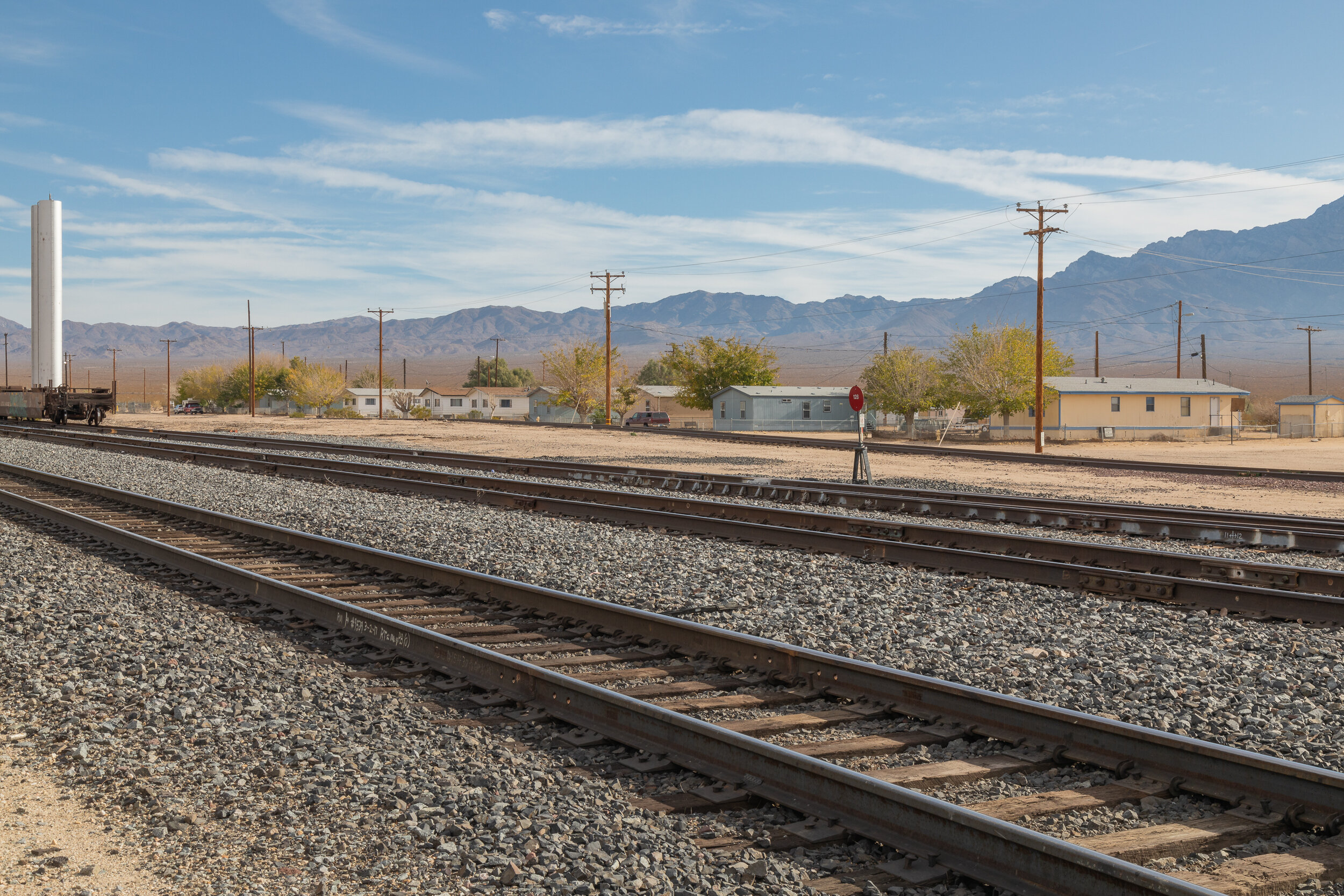
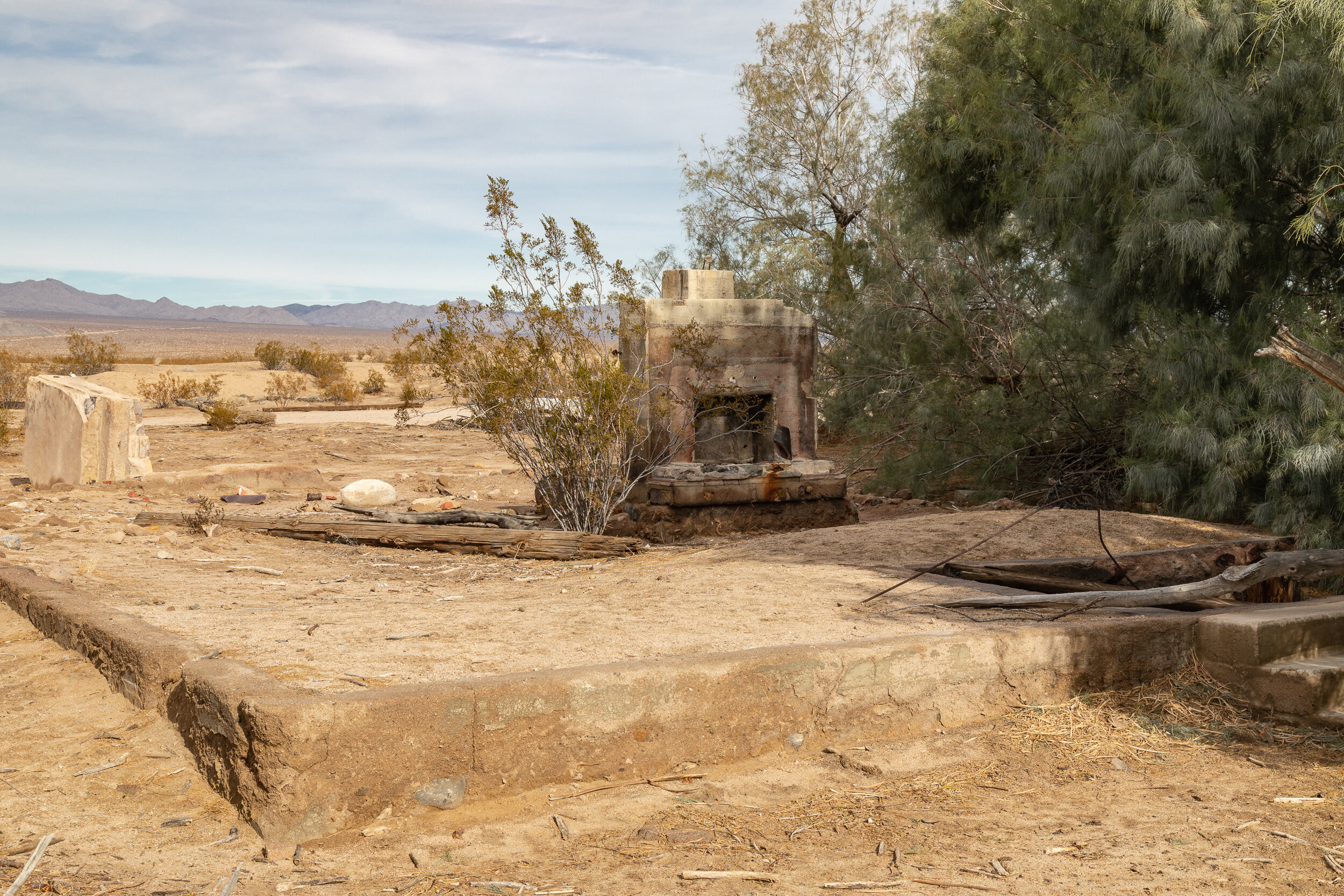
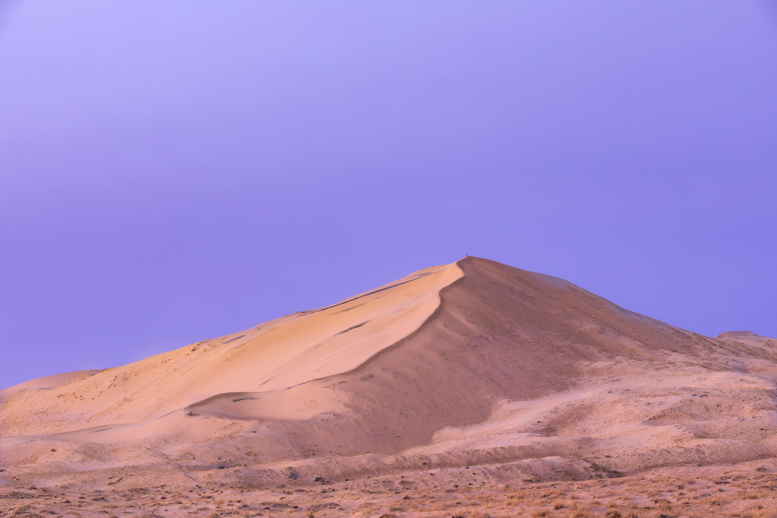
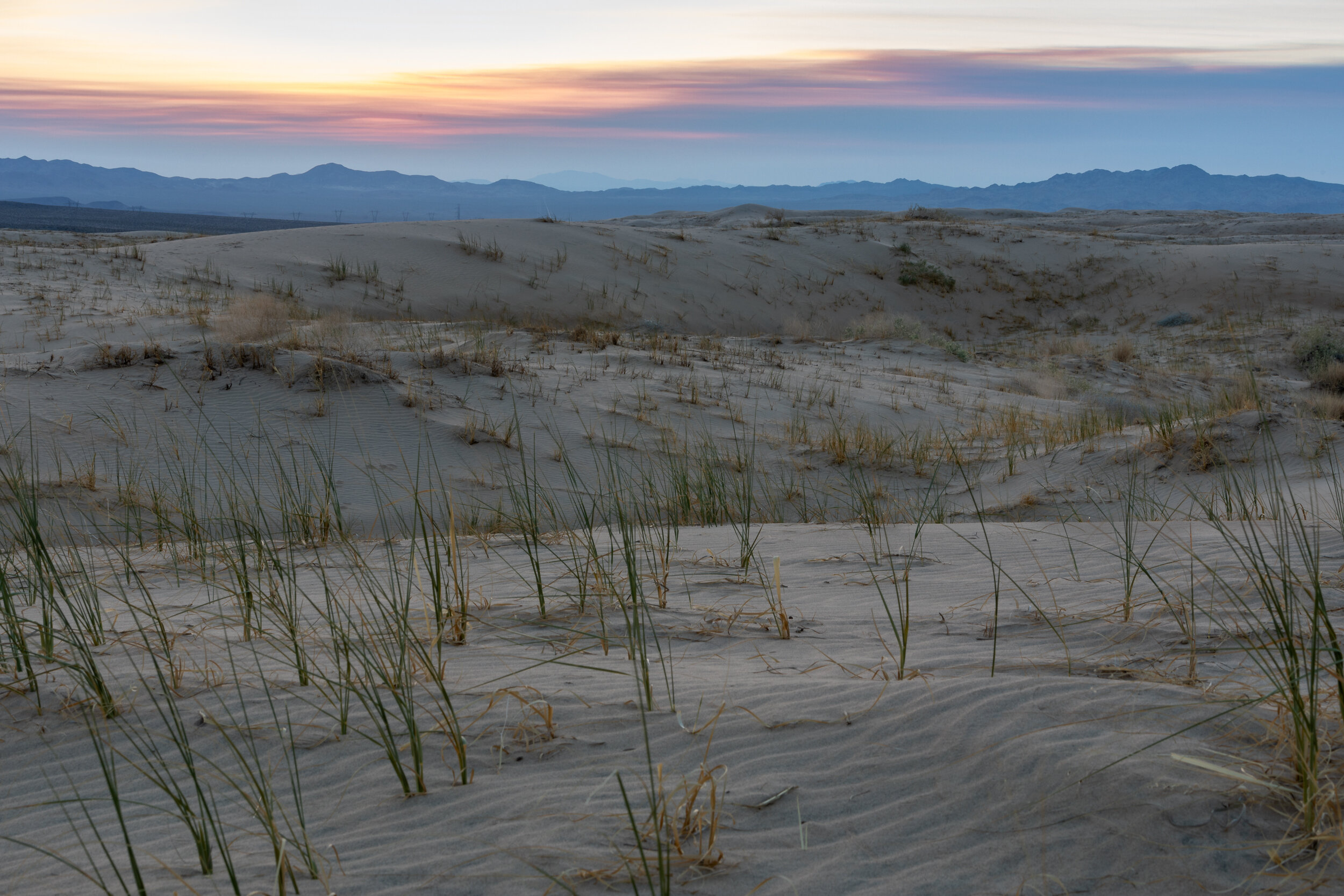
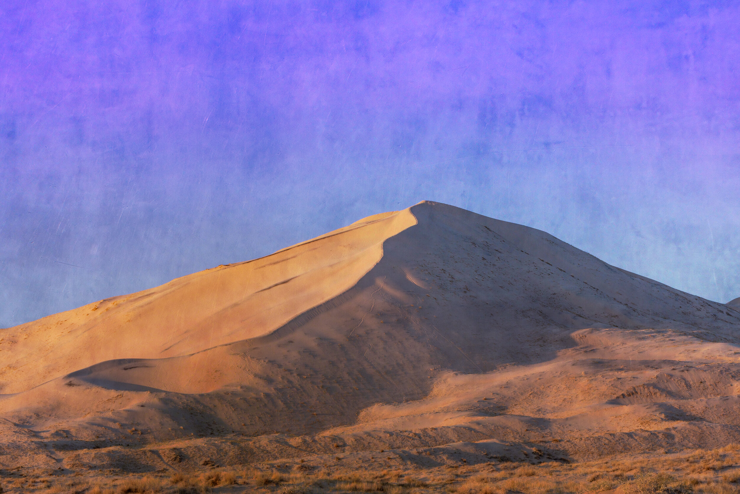
Kelso, California is a ghost town located in the Mojave National Preserve which is off the I-15 on the way to Las Vegas. It’s heyday was during the World War II years as a railroad stop for trains carrying the borax & iron mined in the area.

It was named for John H. Kelso whose name was selected from a hat after he had already left town. Although I don’t know of any family connection, since my mother’s maiden was Kelso it was a location I had long been interested in visiting.
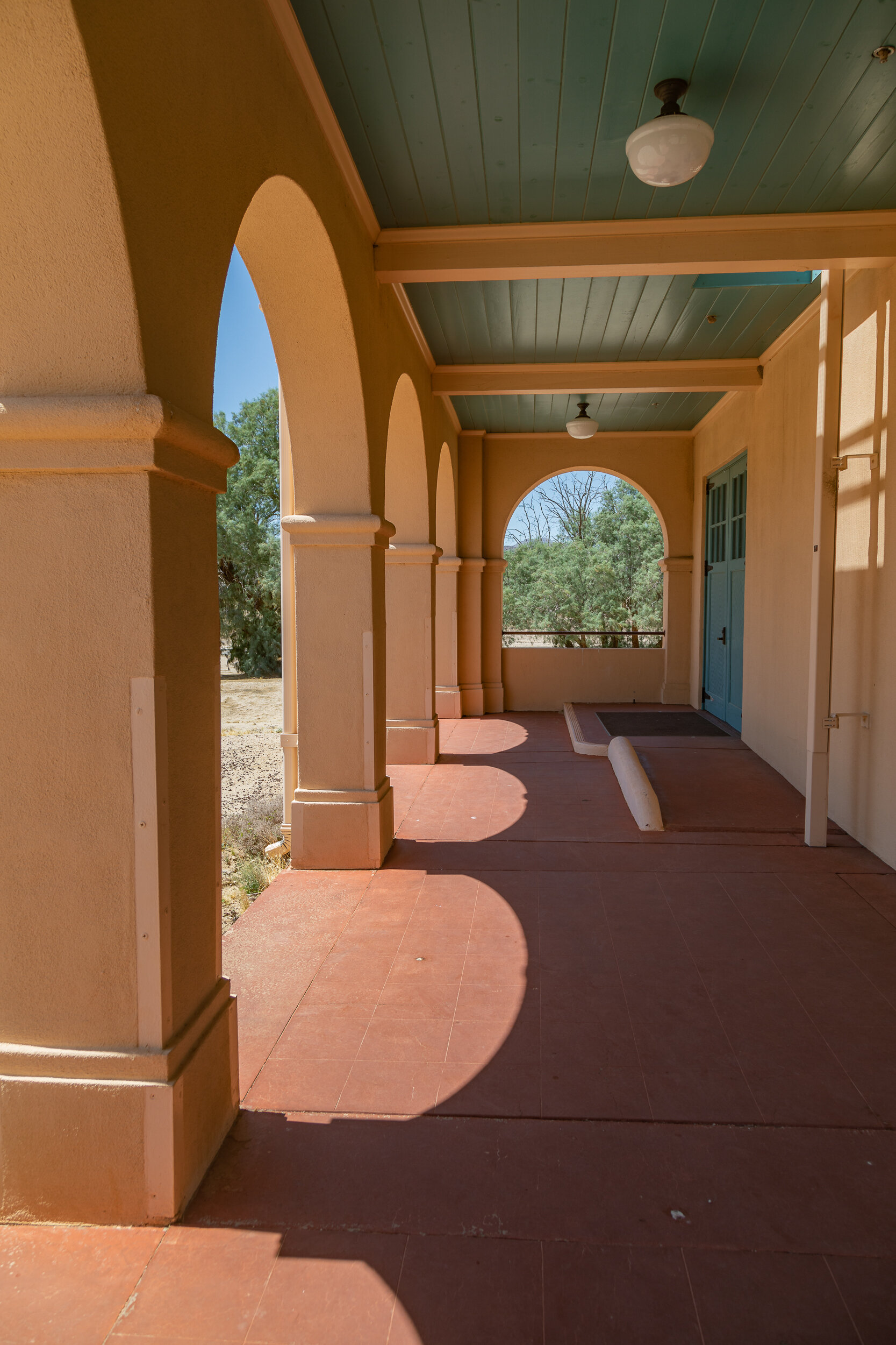
The Depot was in partial operation until 1986 and then restored and re-opened in 2005 as home of the Mojave National Preserve Visitor Center and Desert Light Gallery
Walking around the depot I was able to view other areas of town
To the southwest is an area called Kelso Dunes which I photographed at sunset.
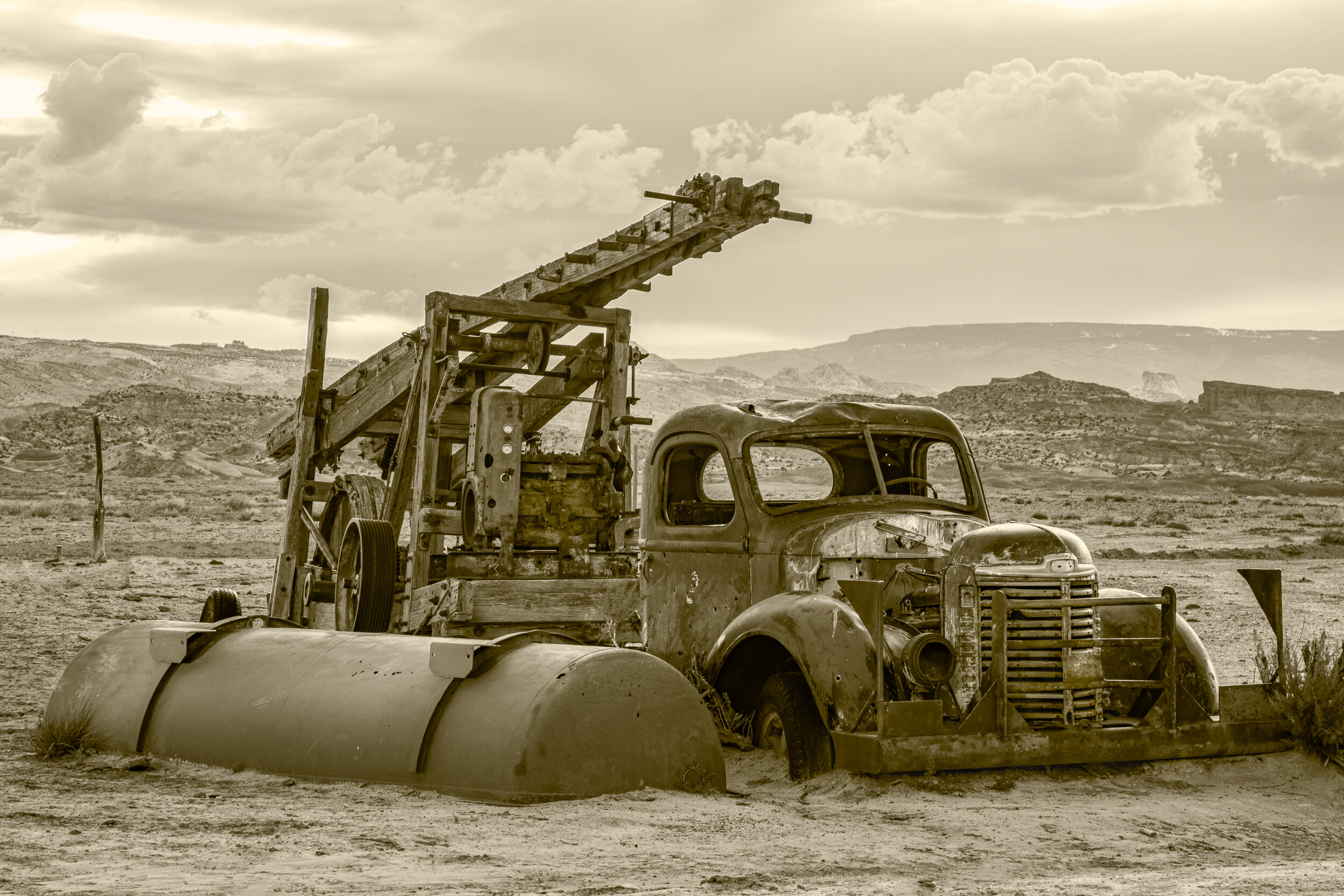
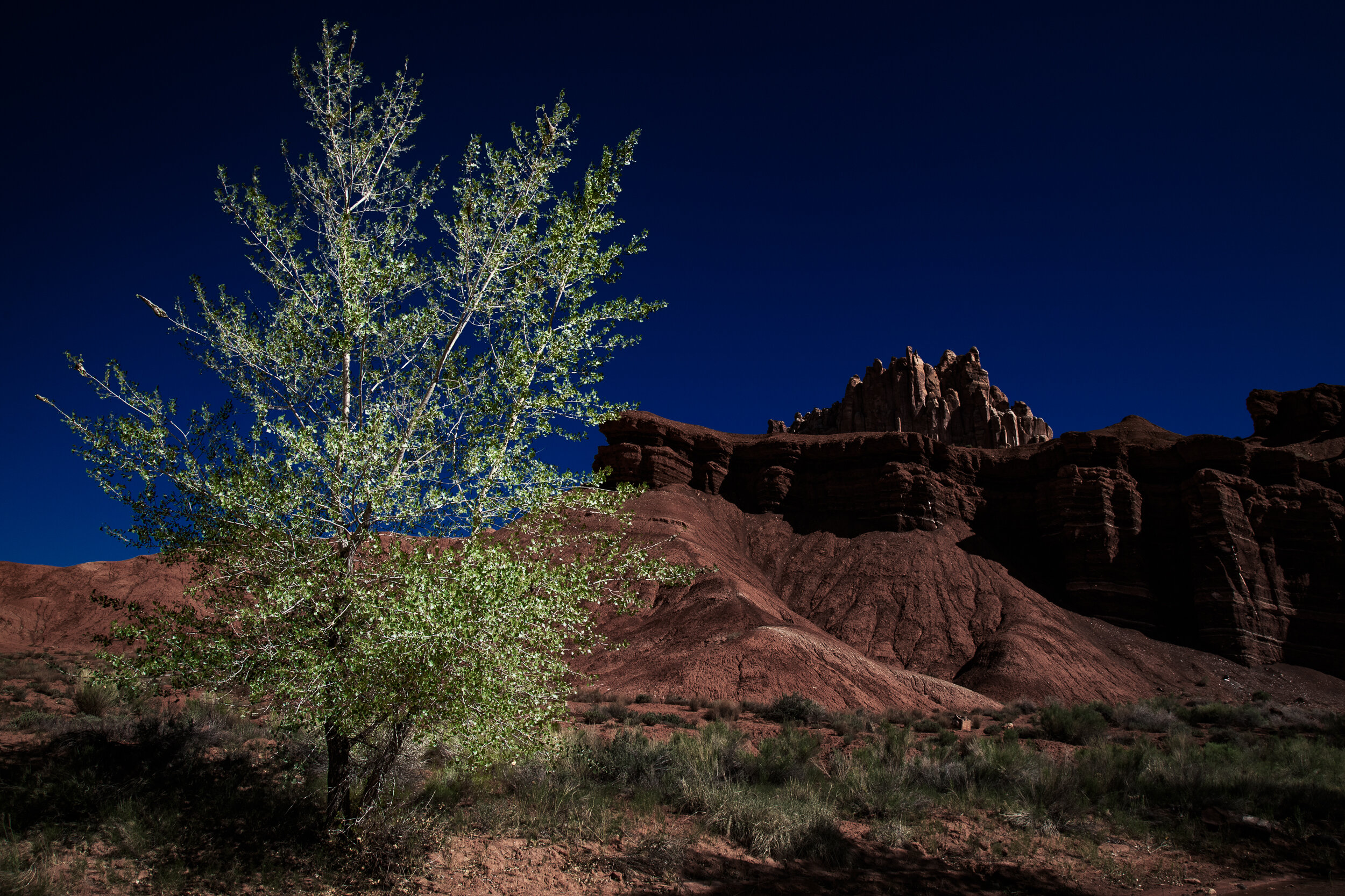
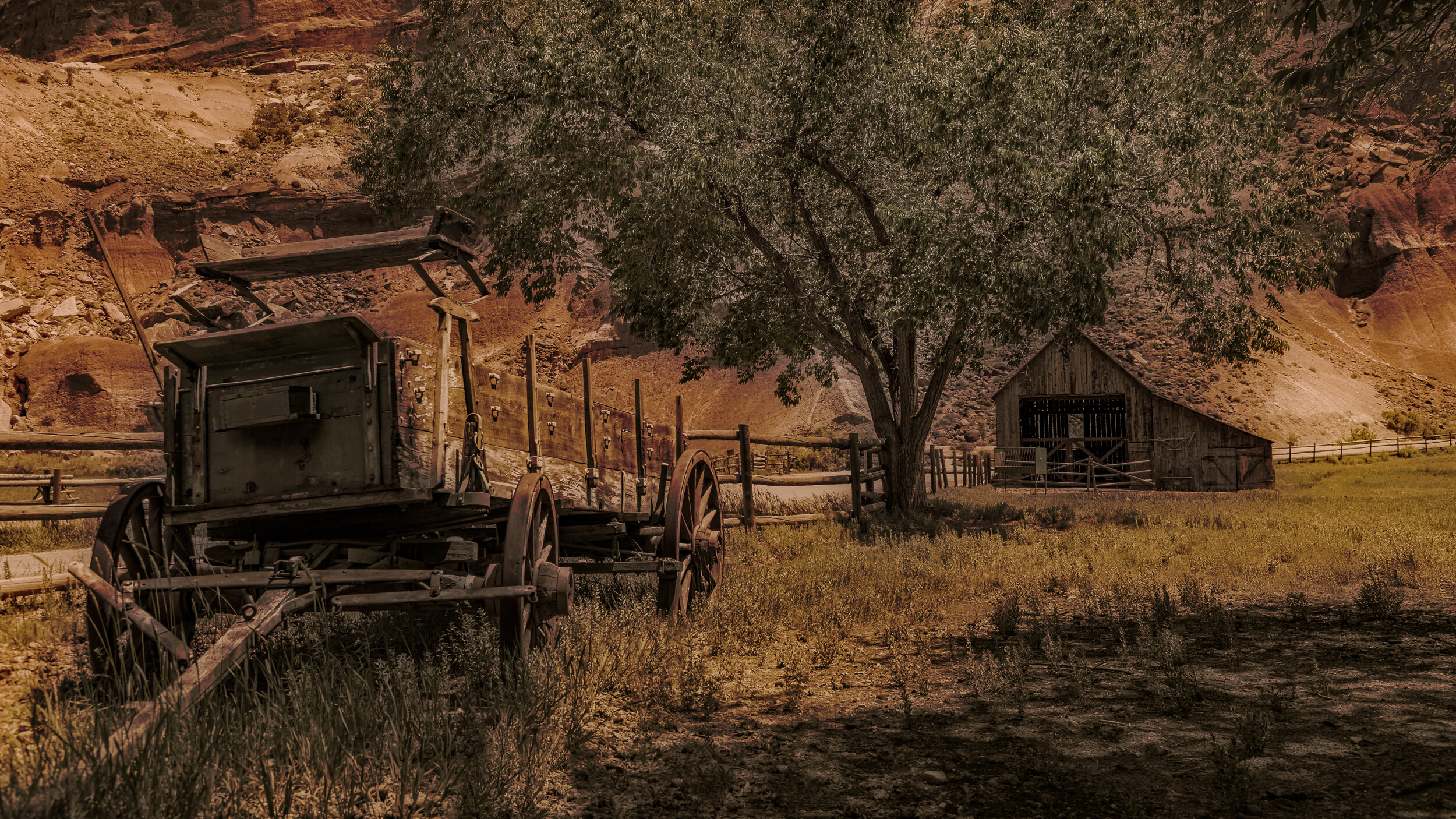
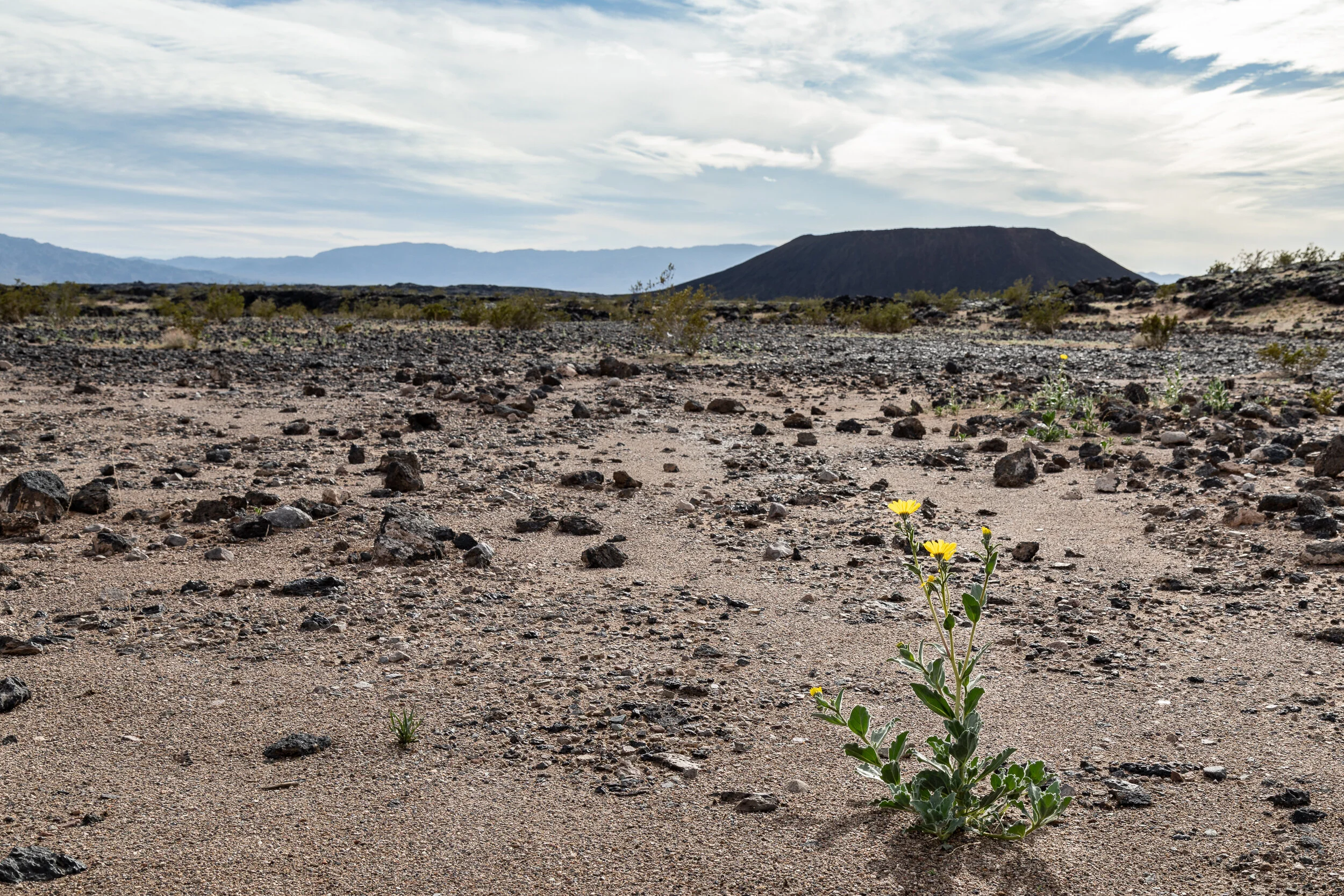
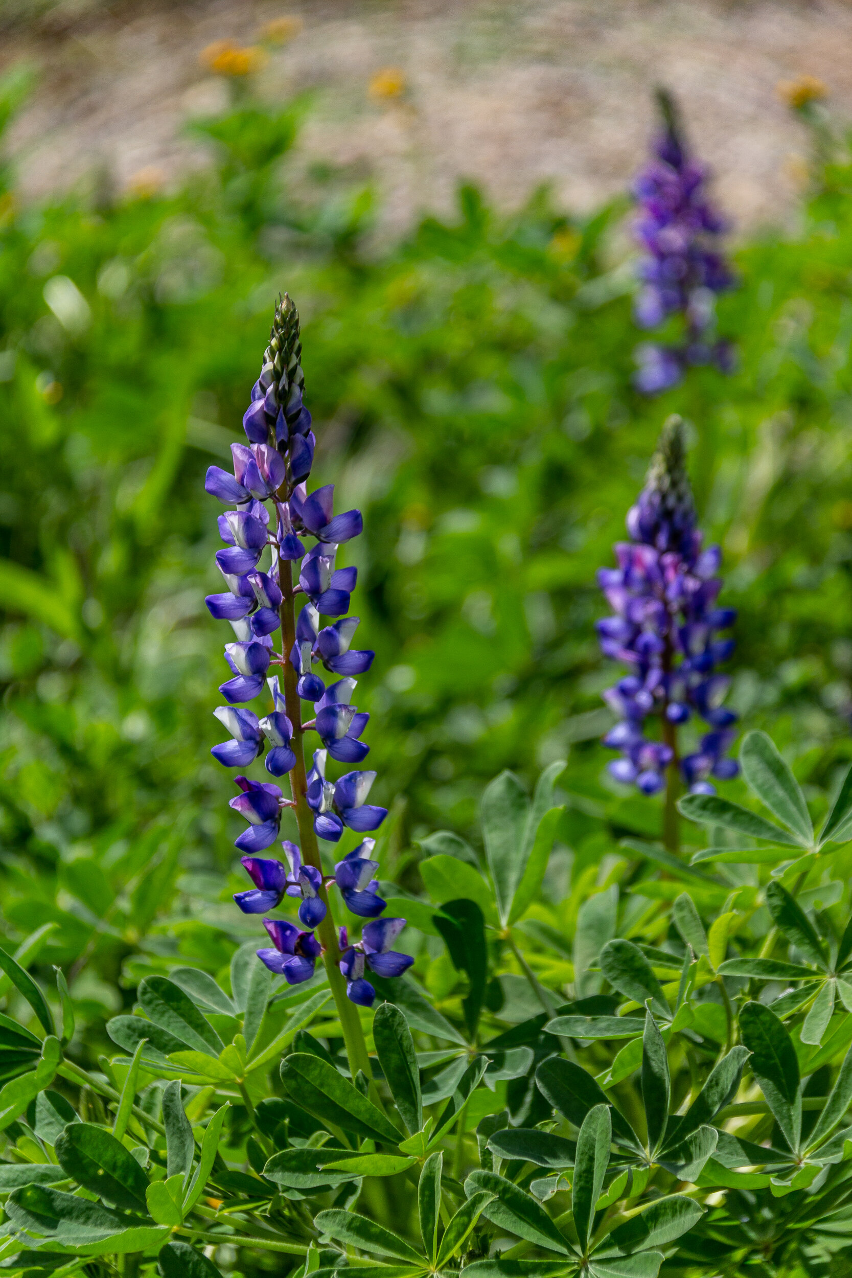
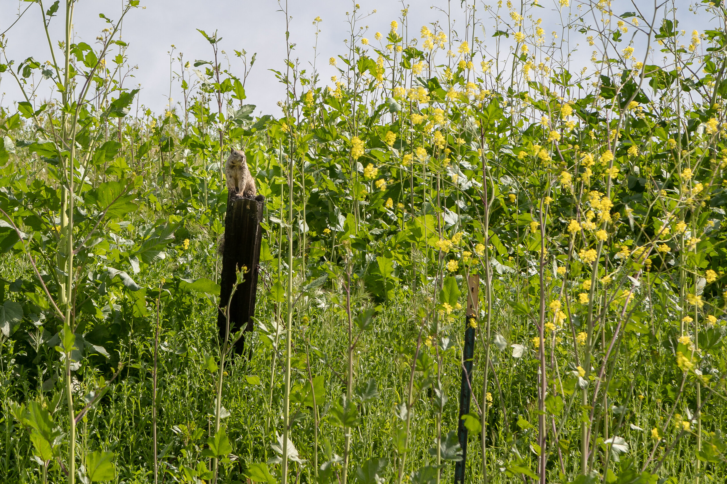
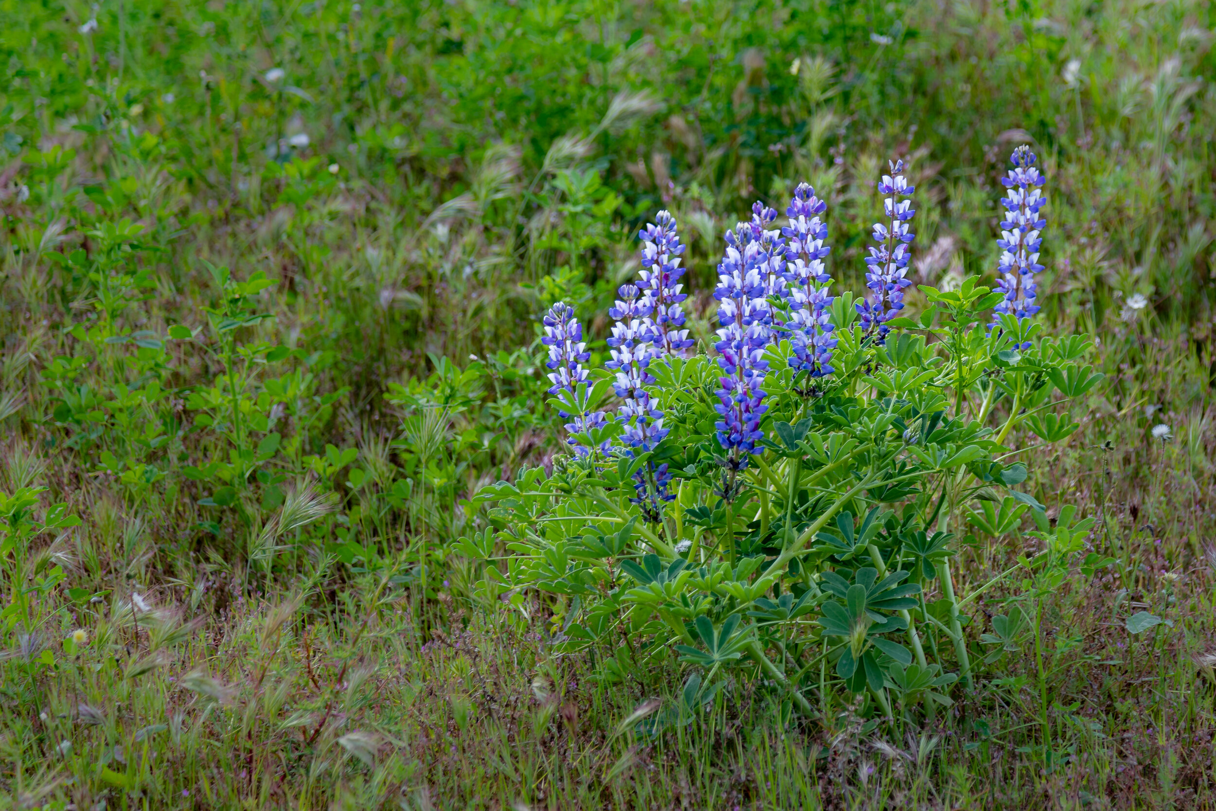
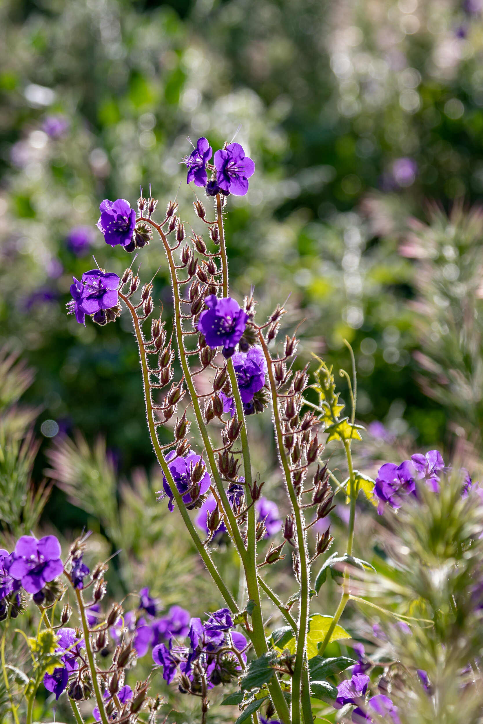
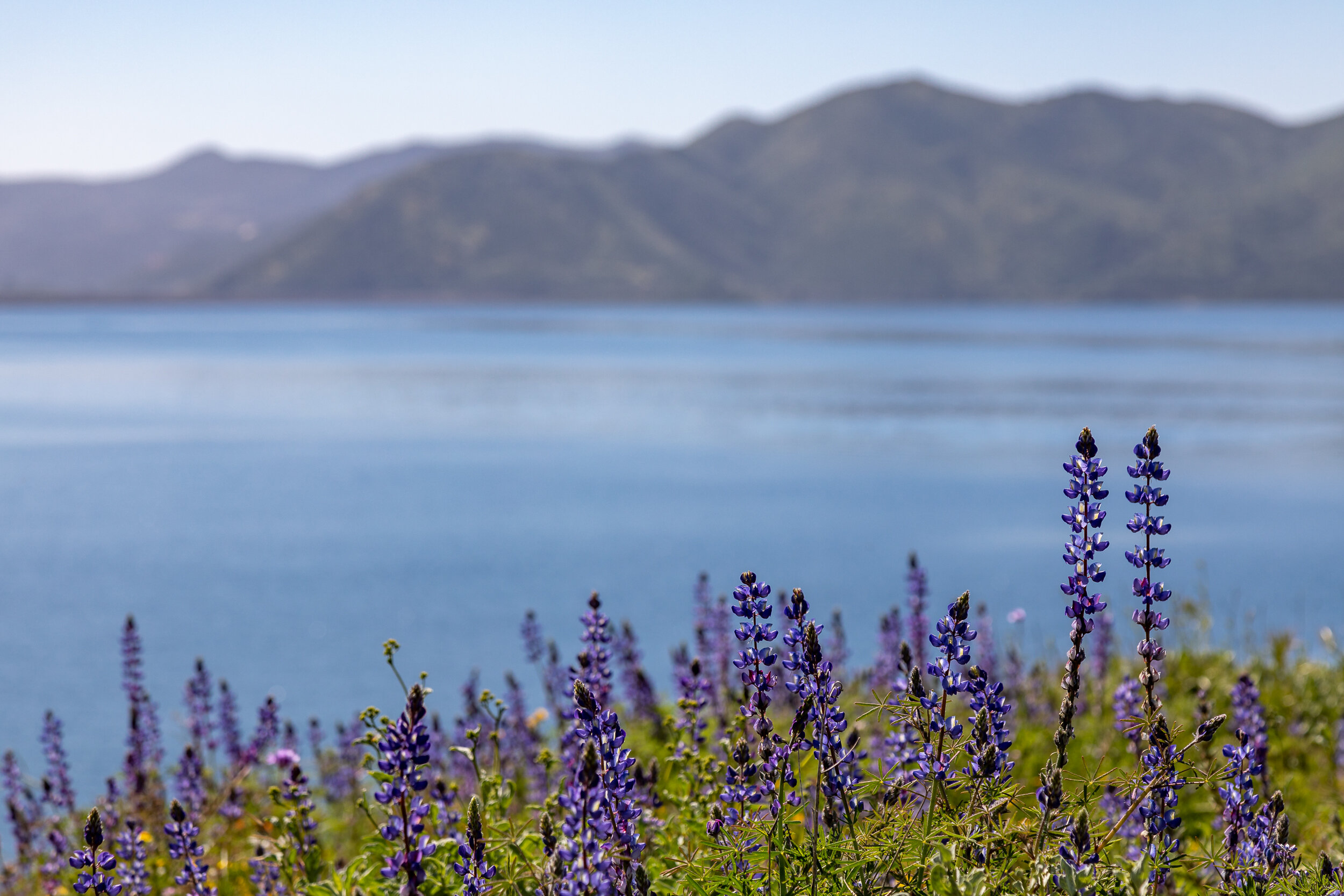
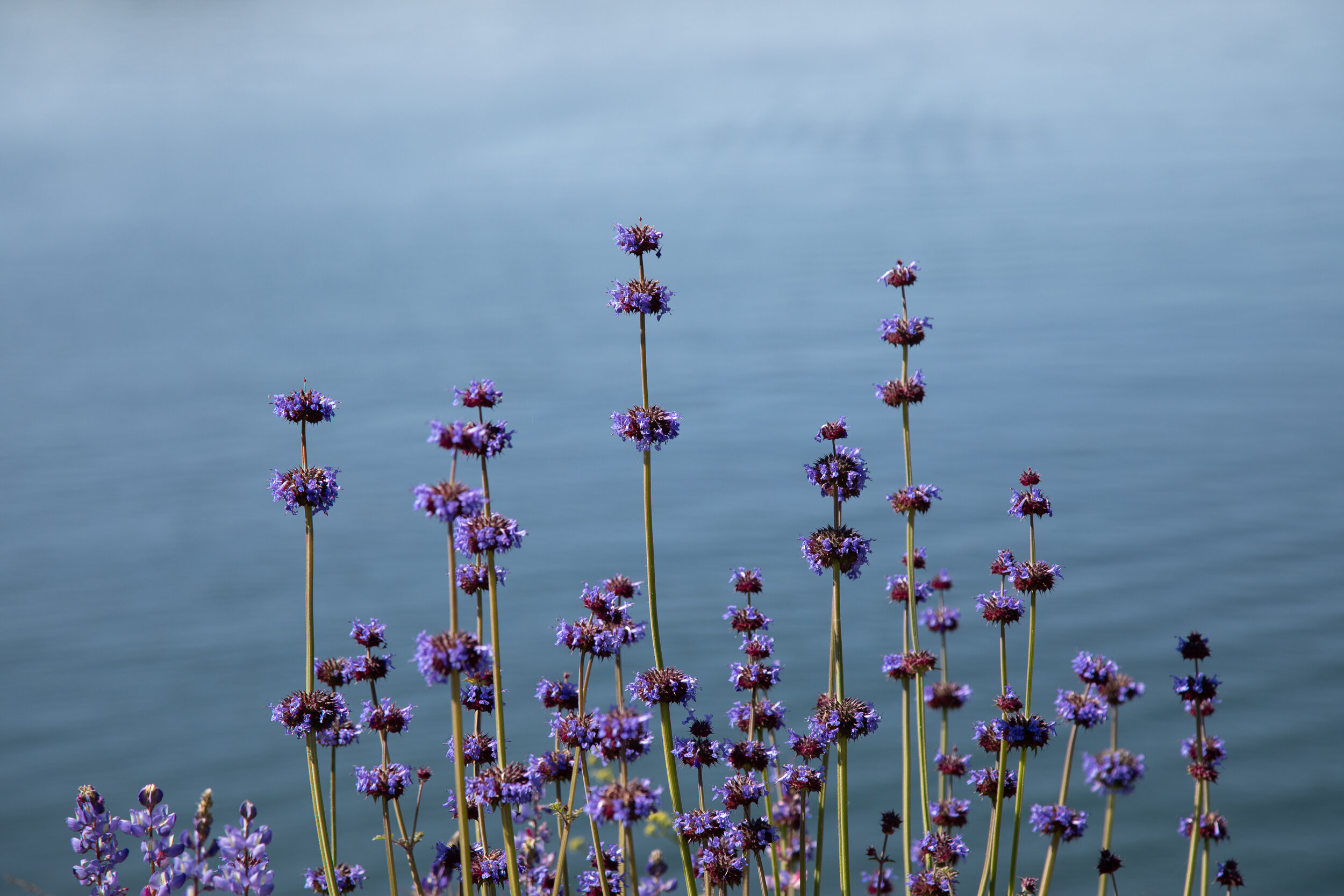
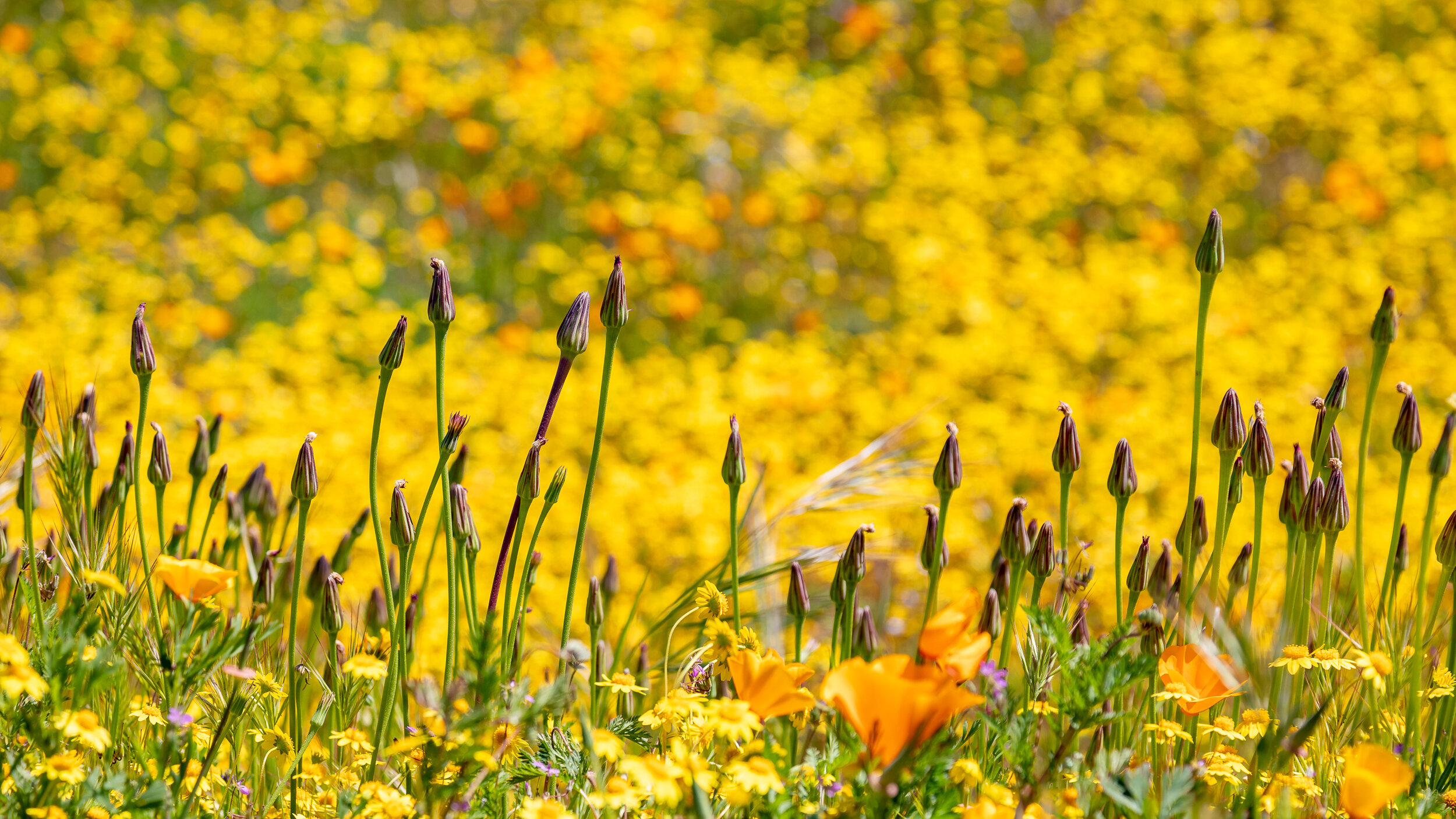
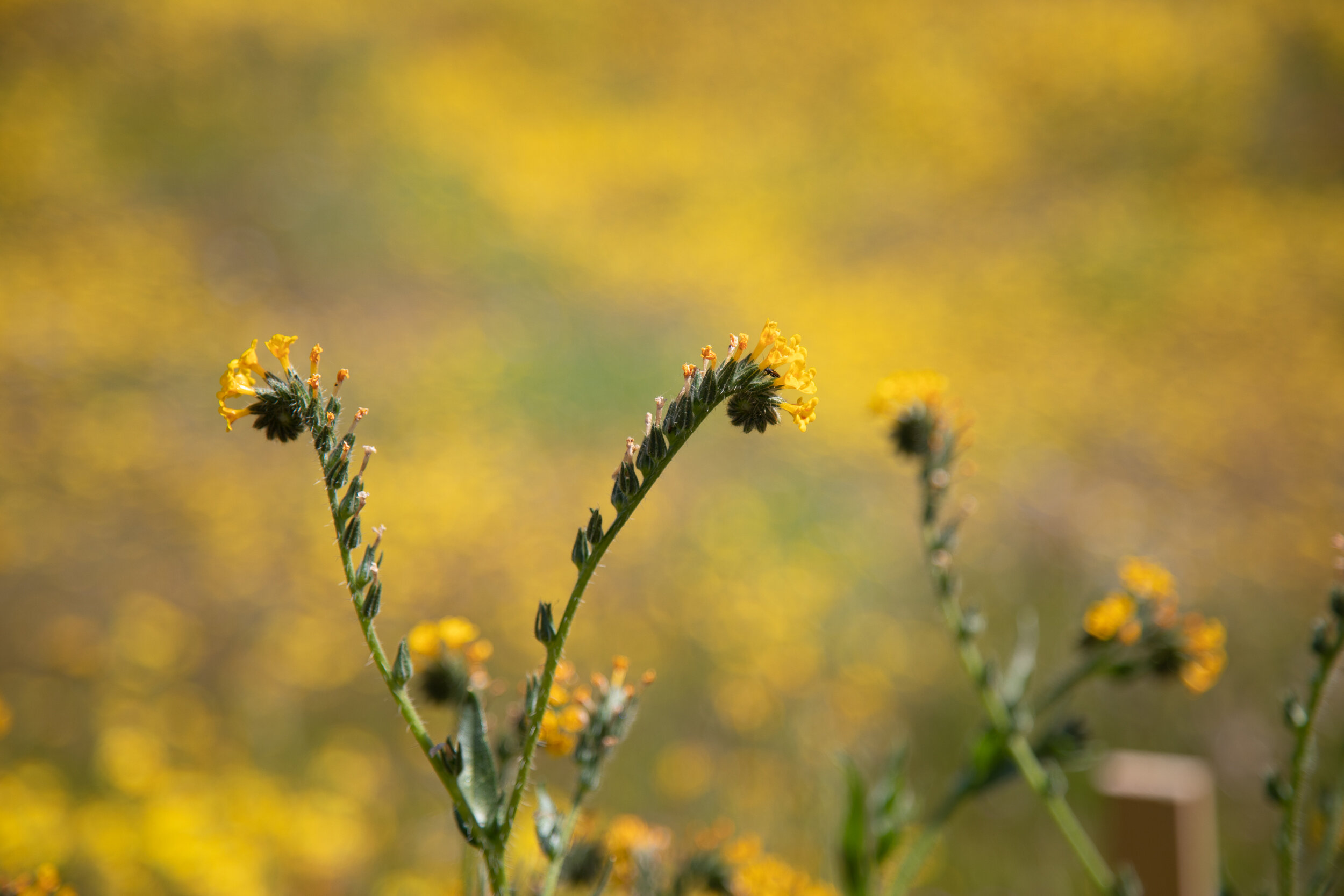
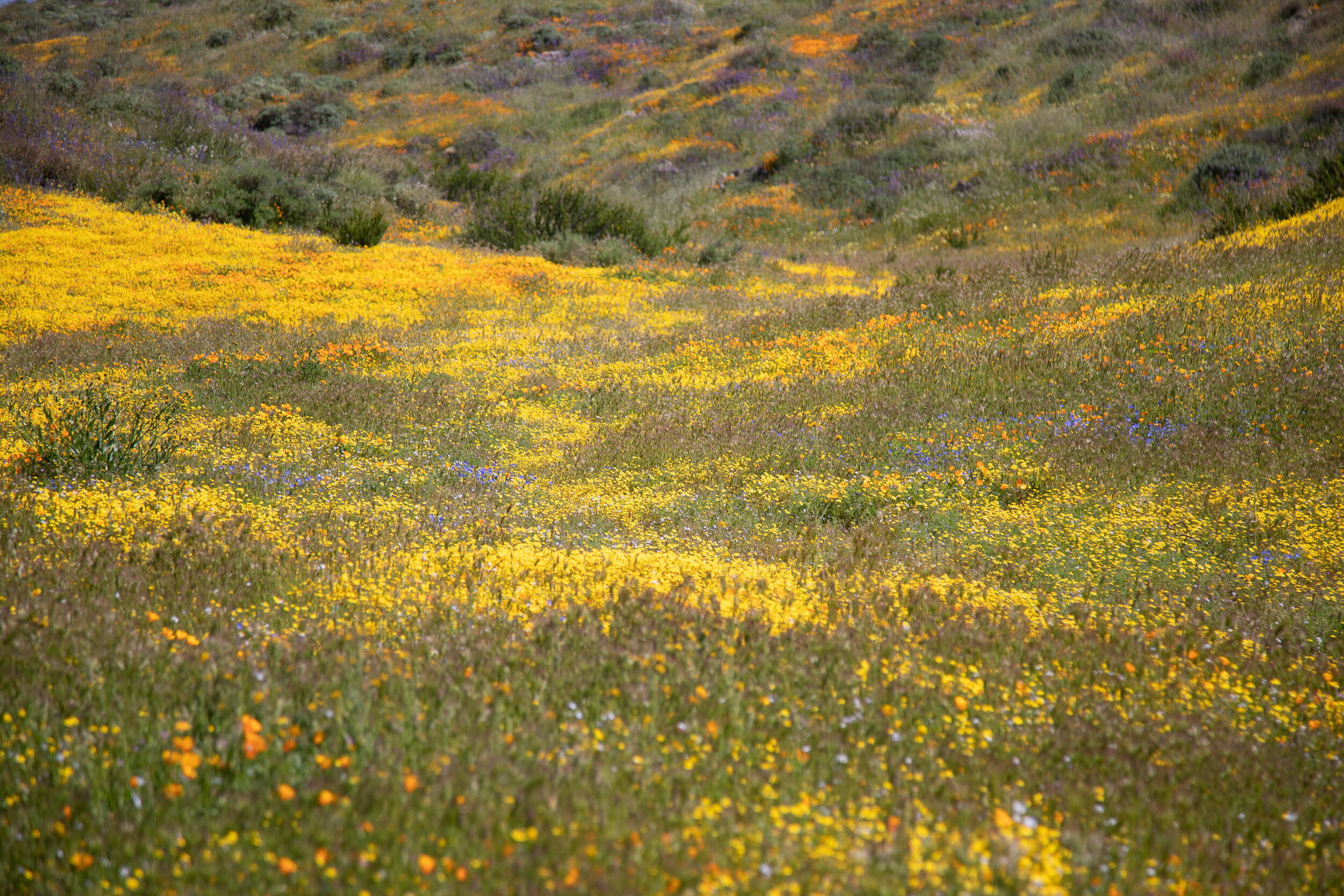
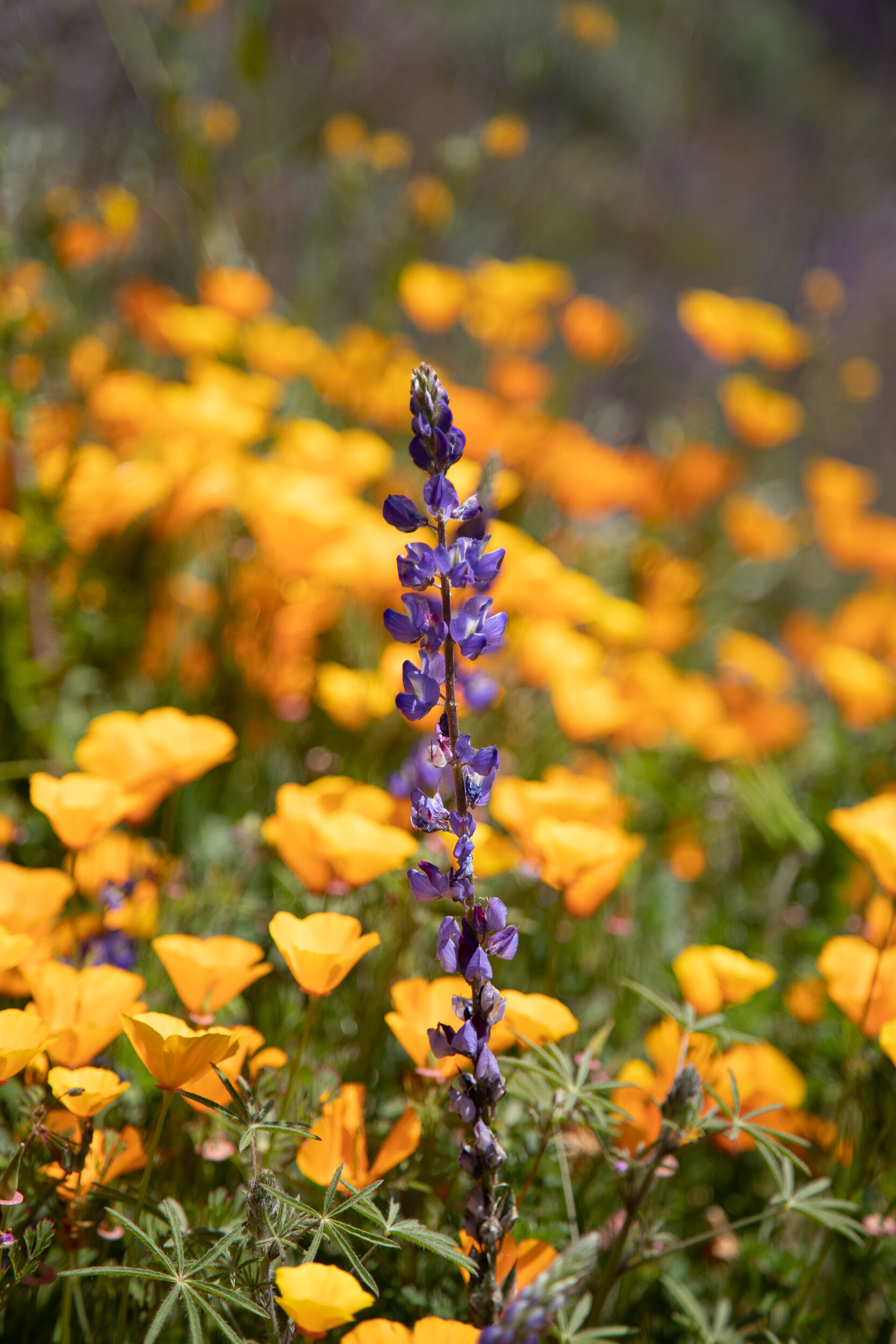
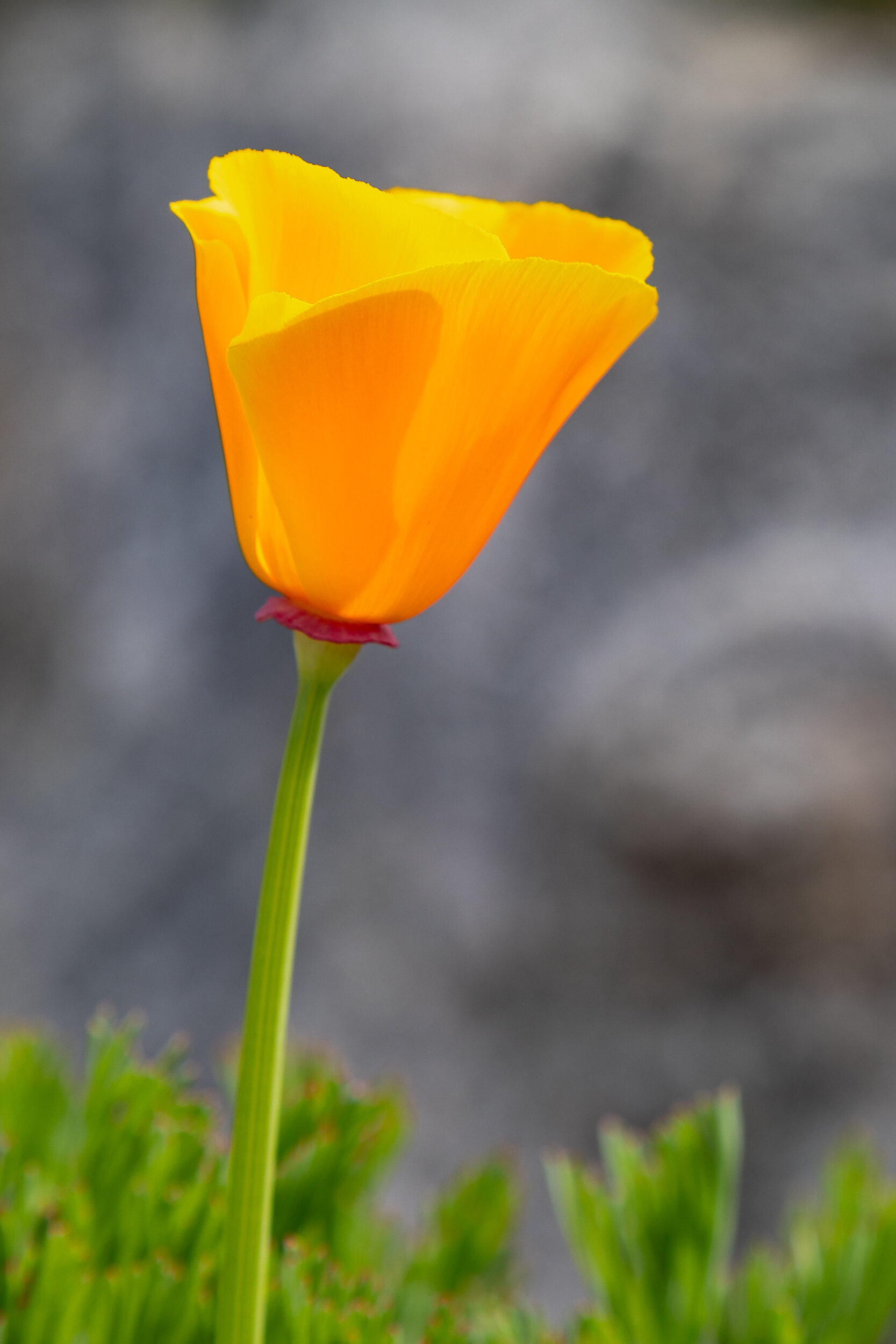
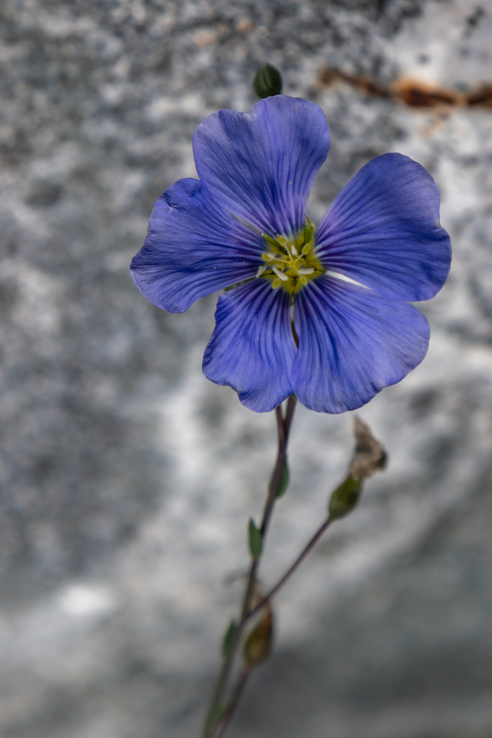
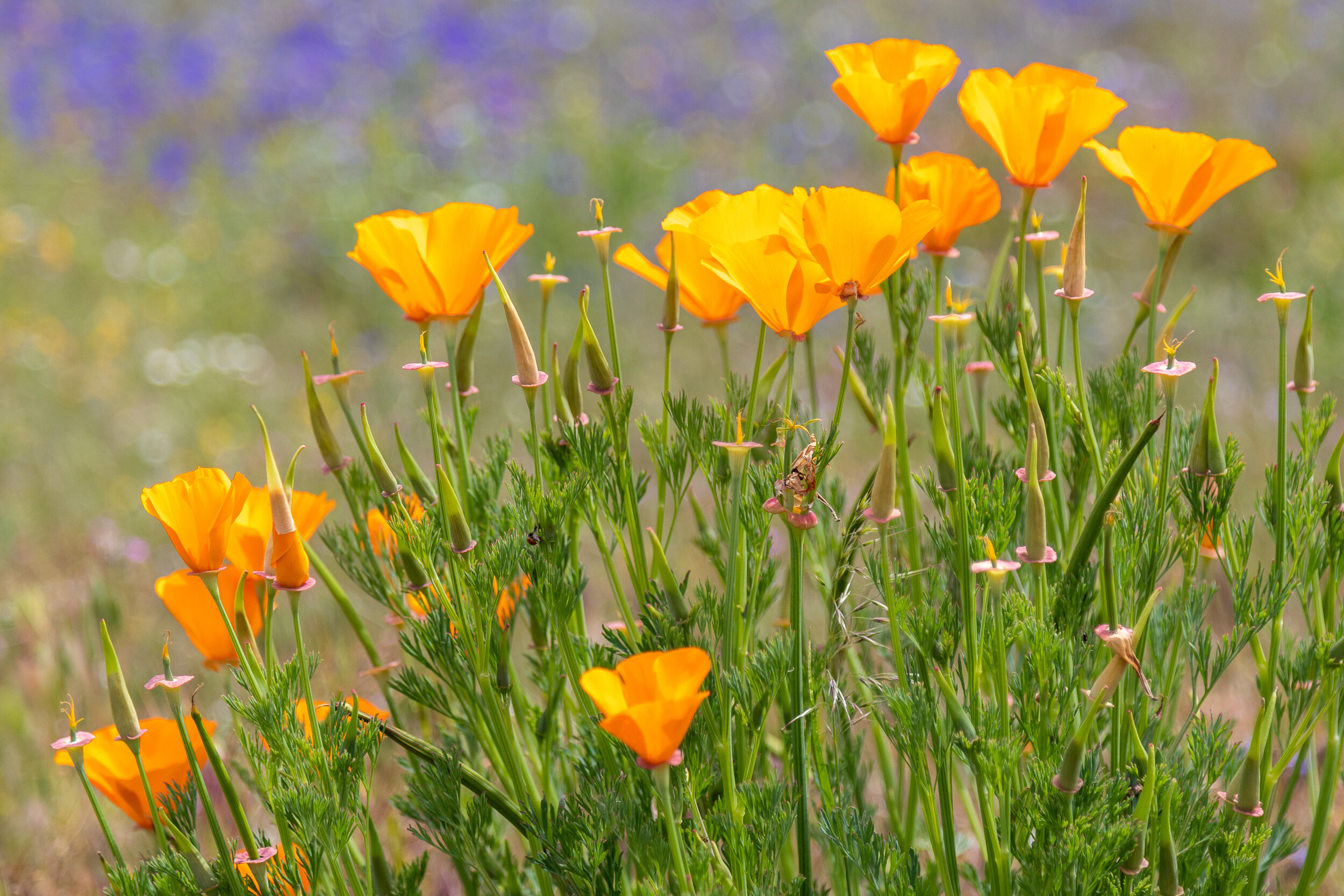
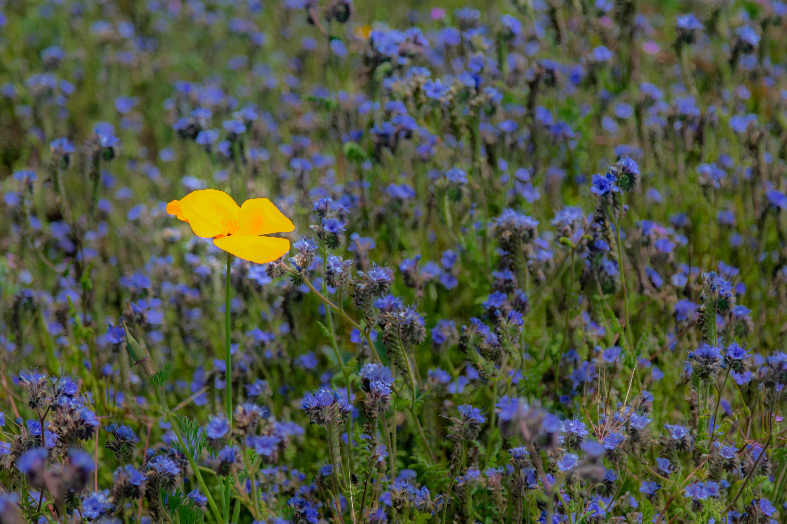
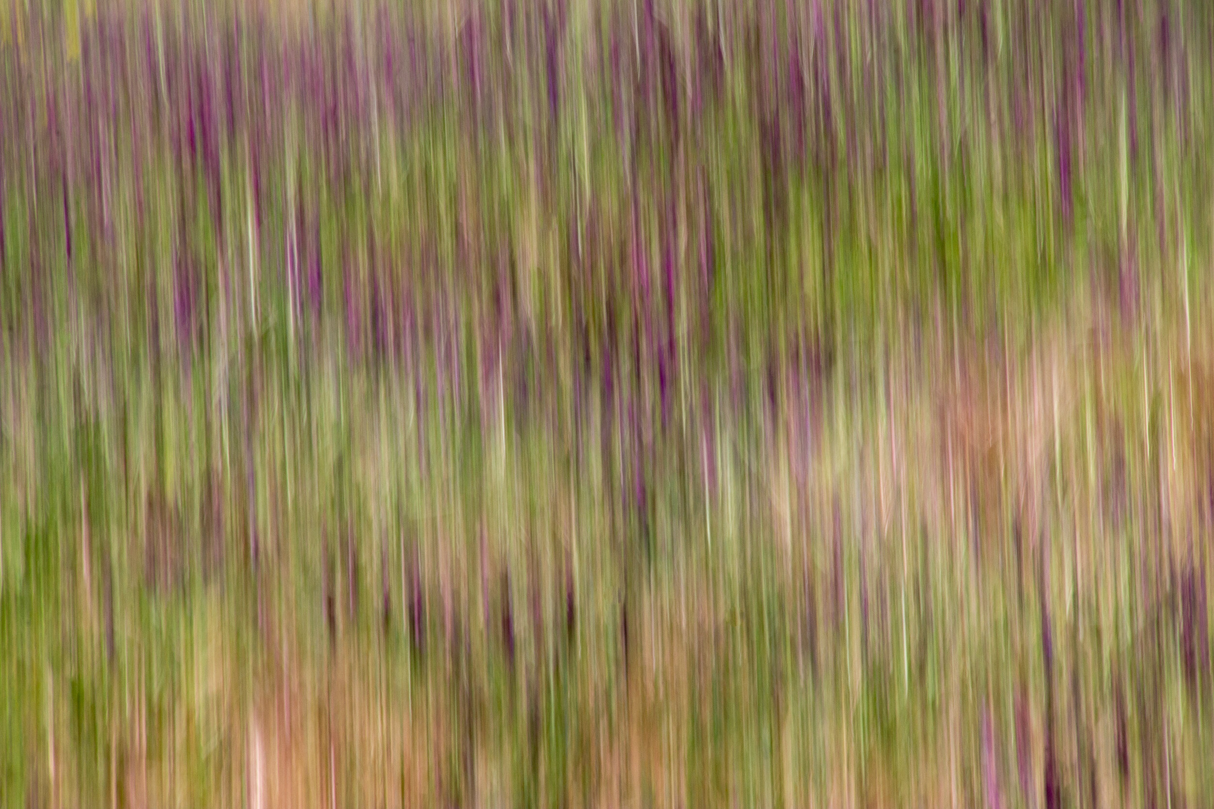
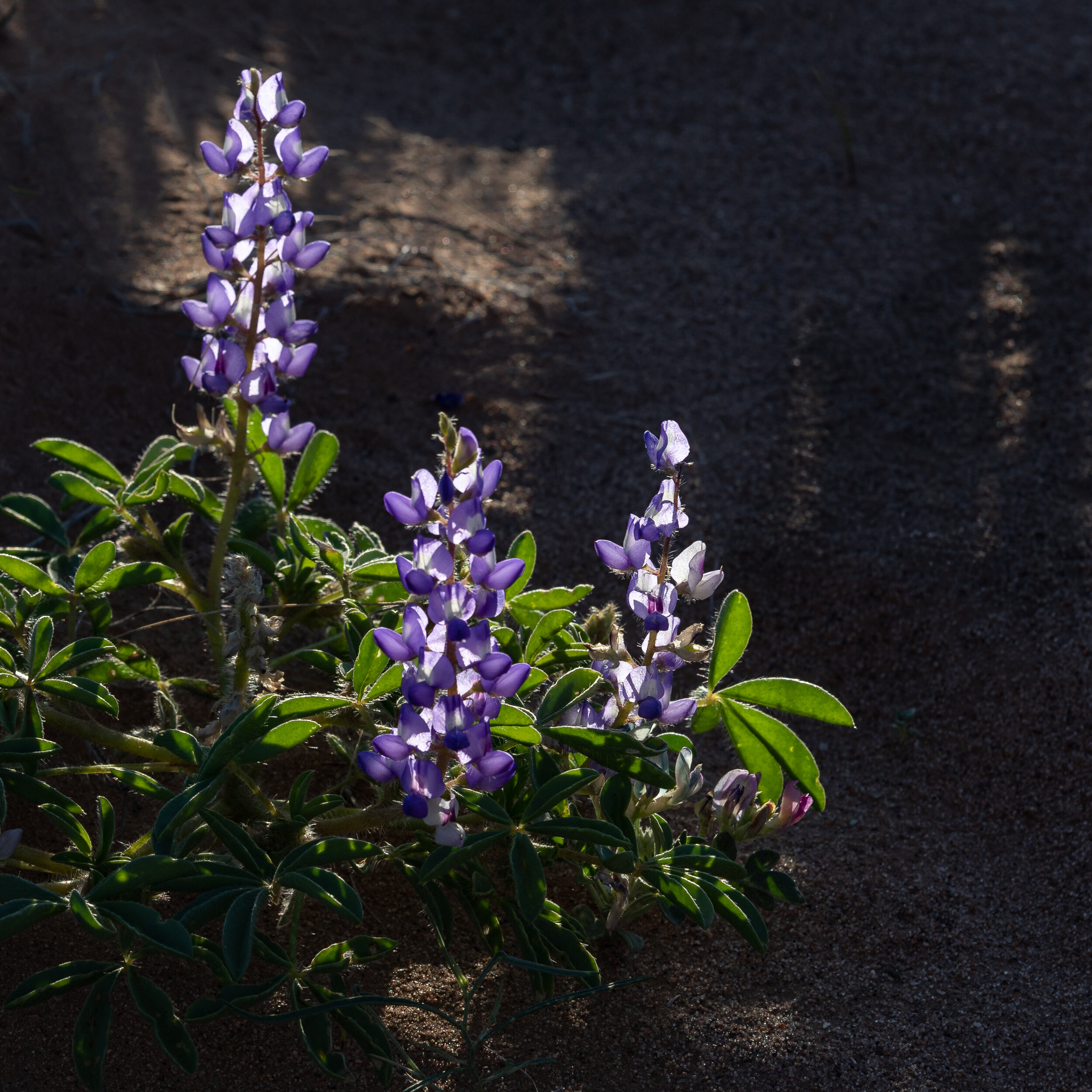
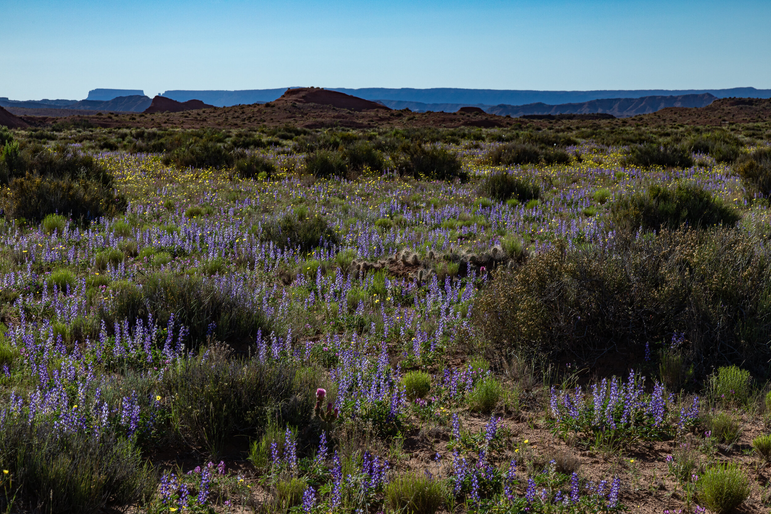
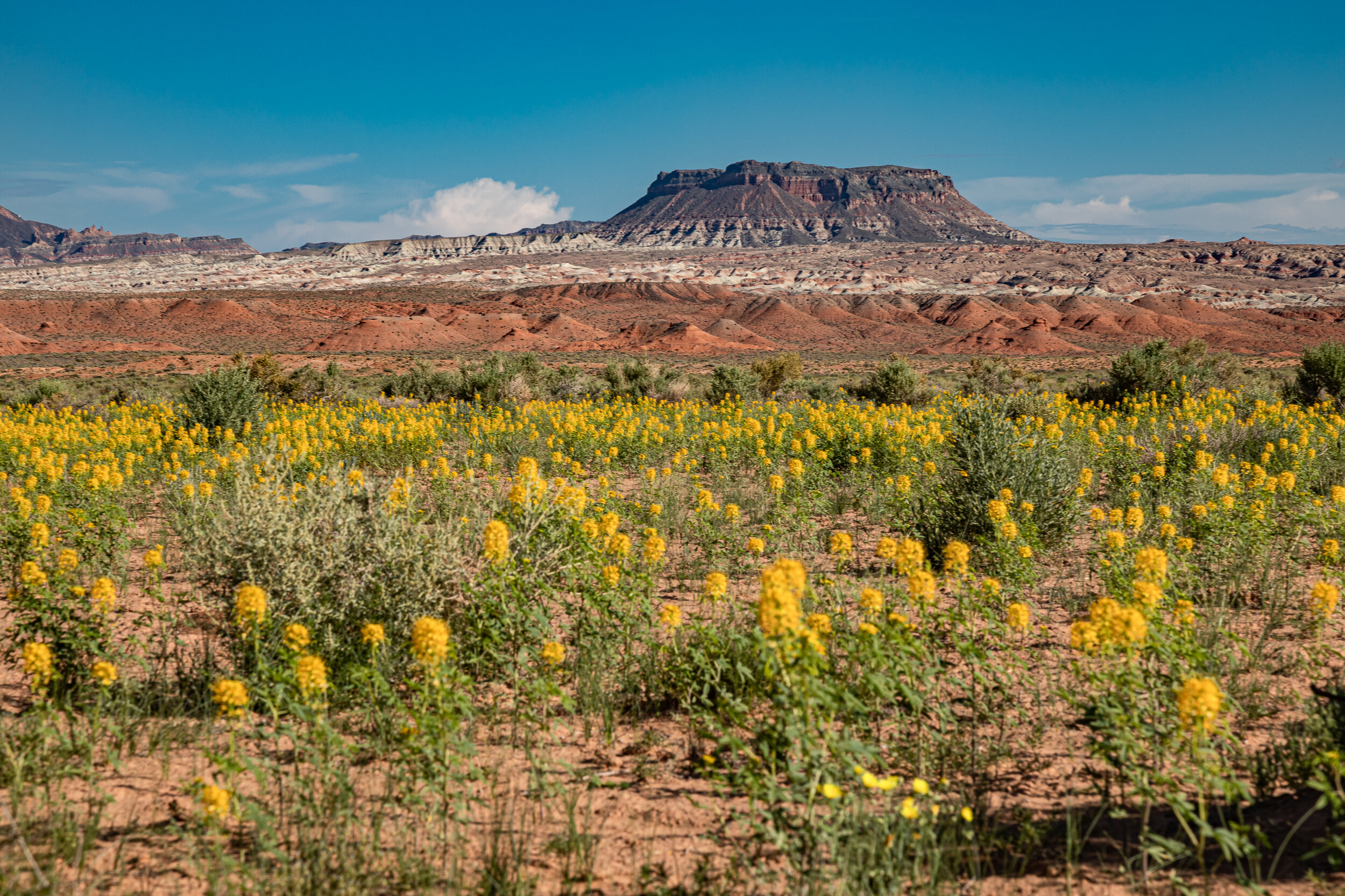
After a wet winter I photographed wildflowers from February to June in places such as Amboy Crater, Diamond Valley Lake, Peters Canyon, Oak Glen Preserve and Capitol Reef National Park.

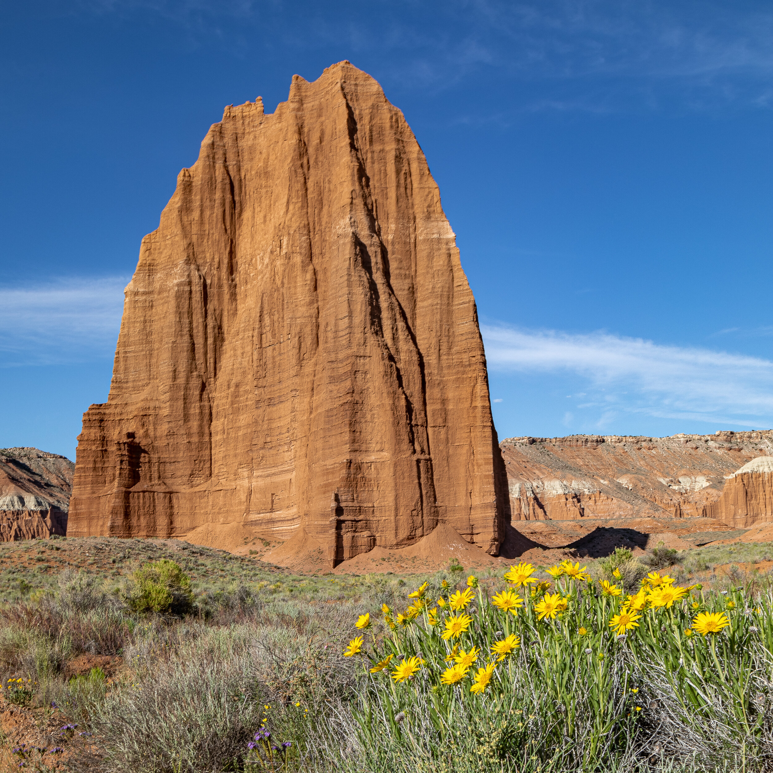
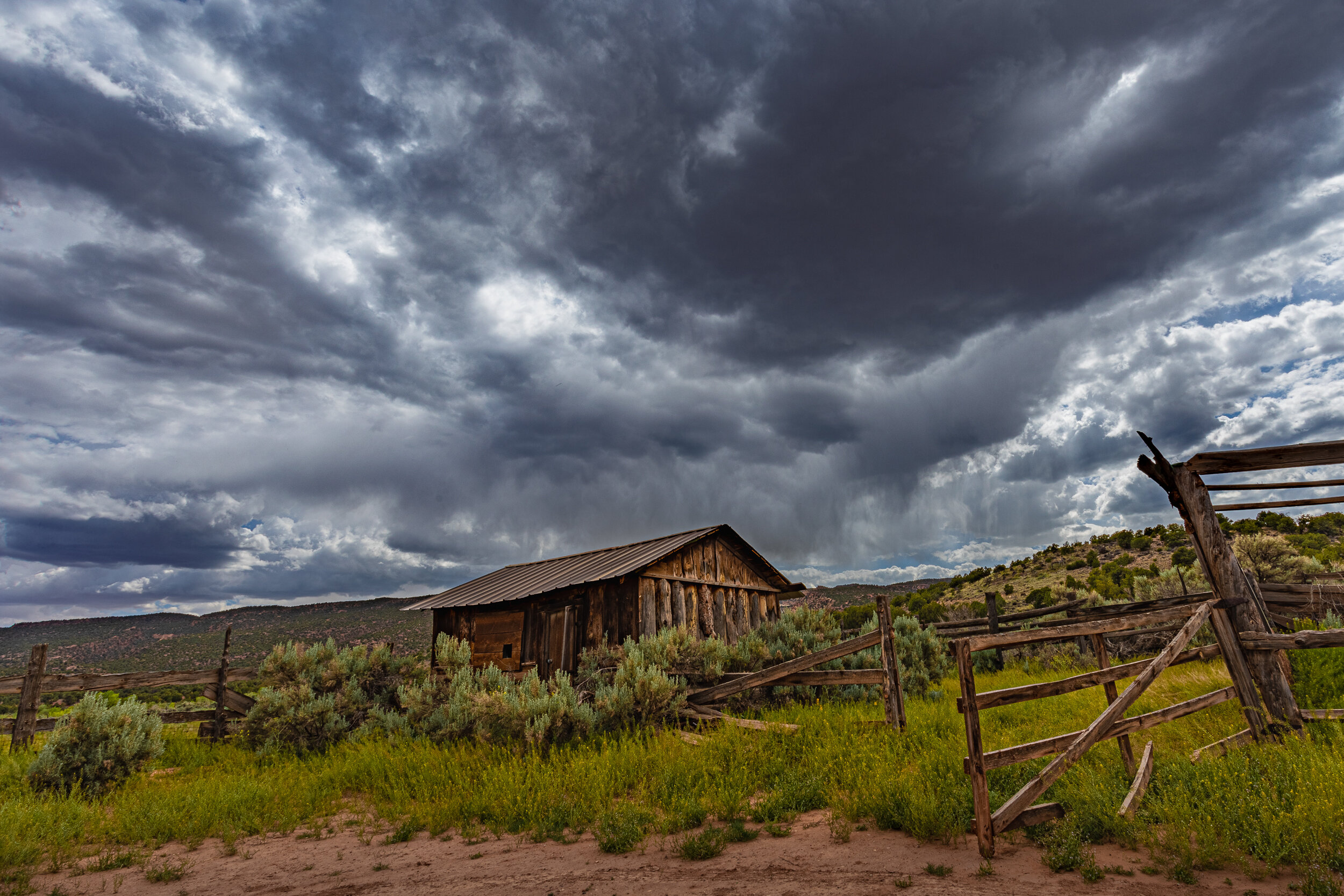
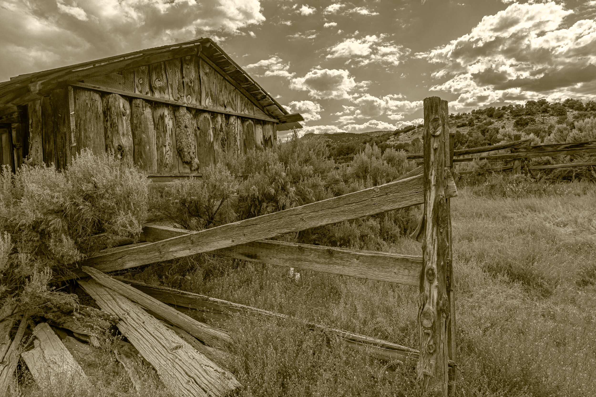
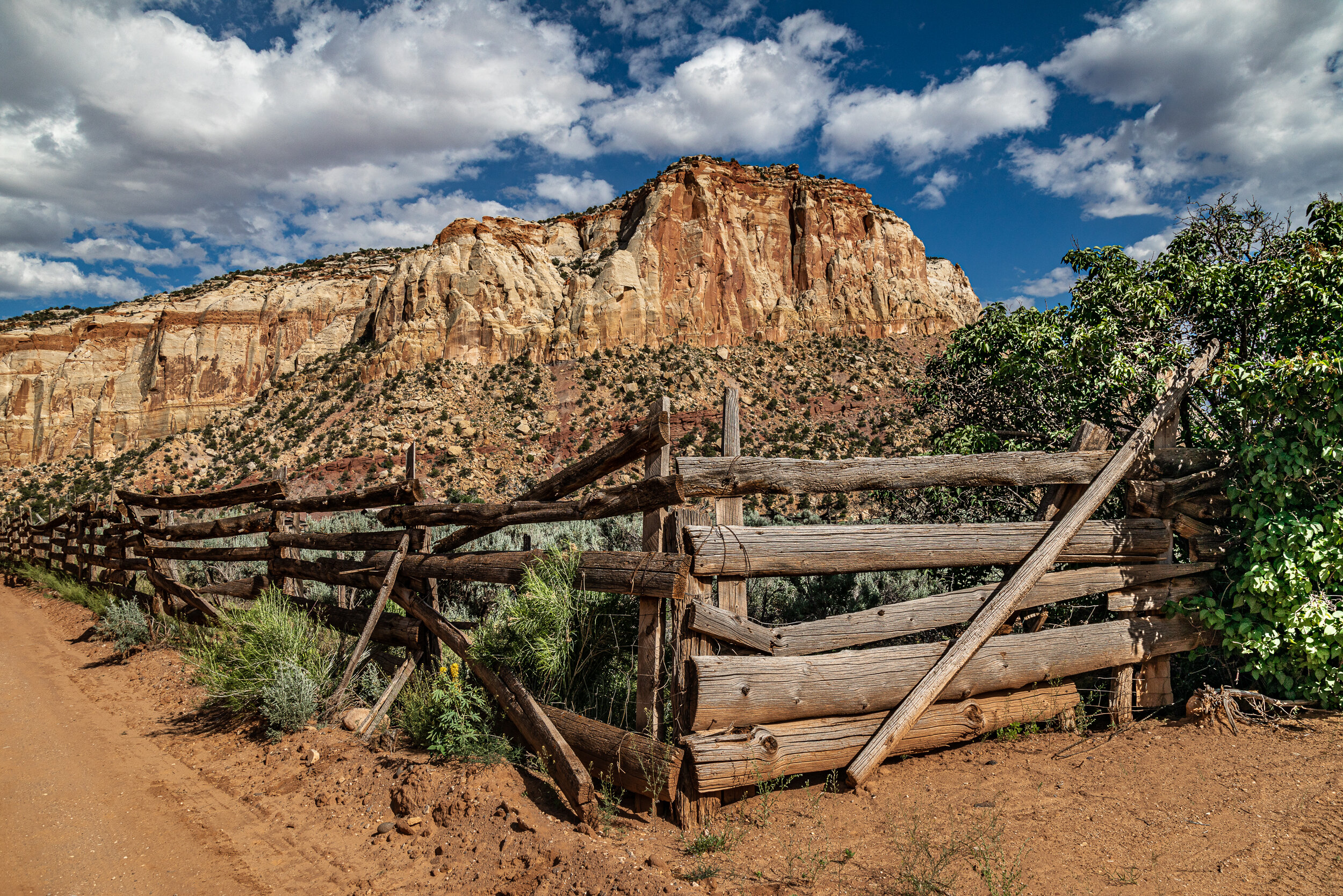
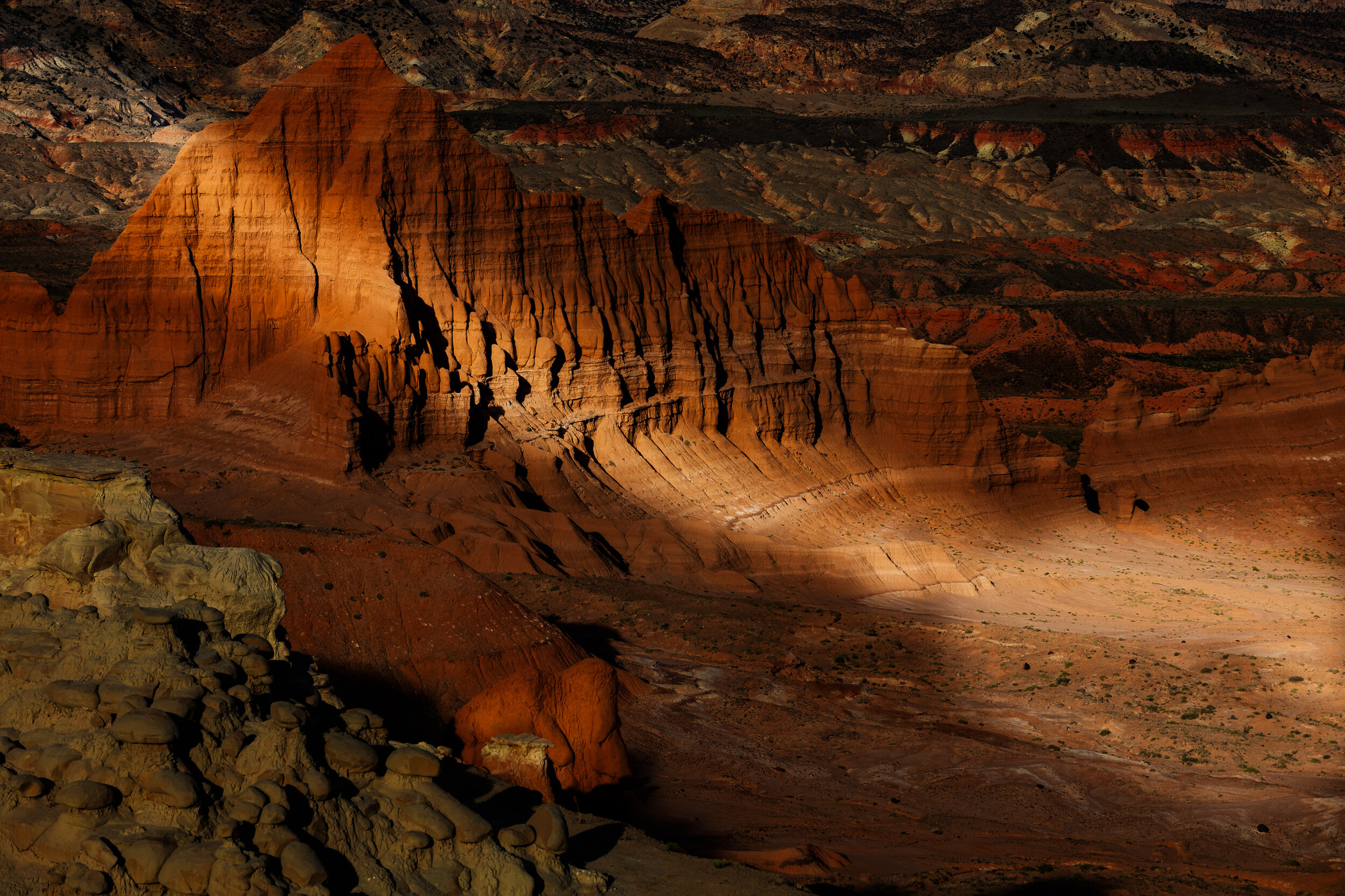
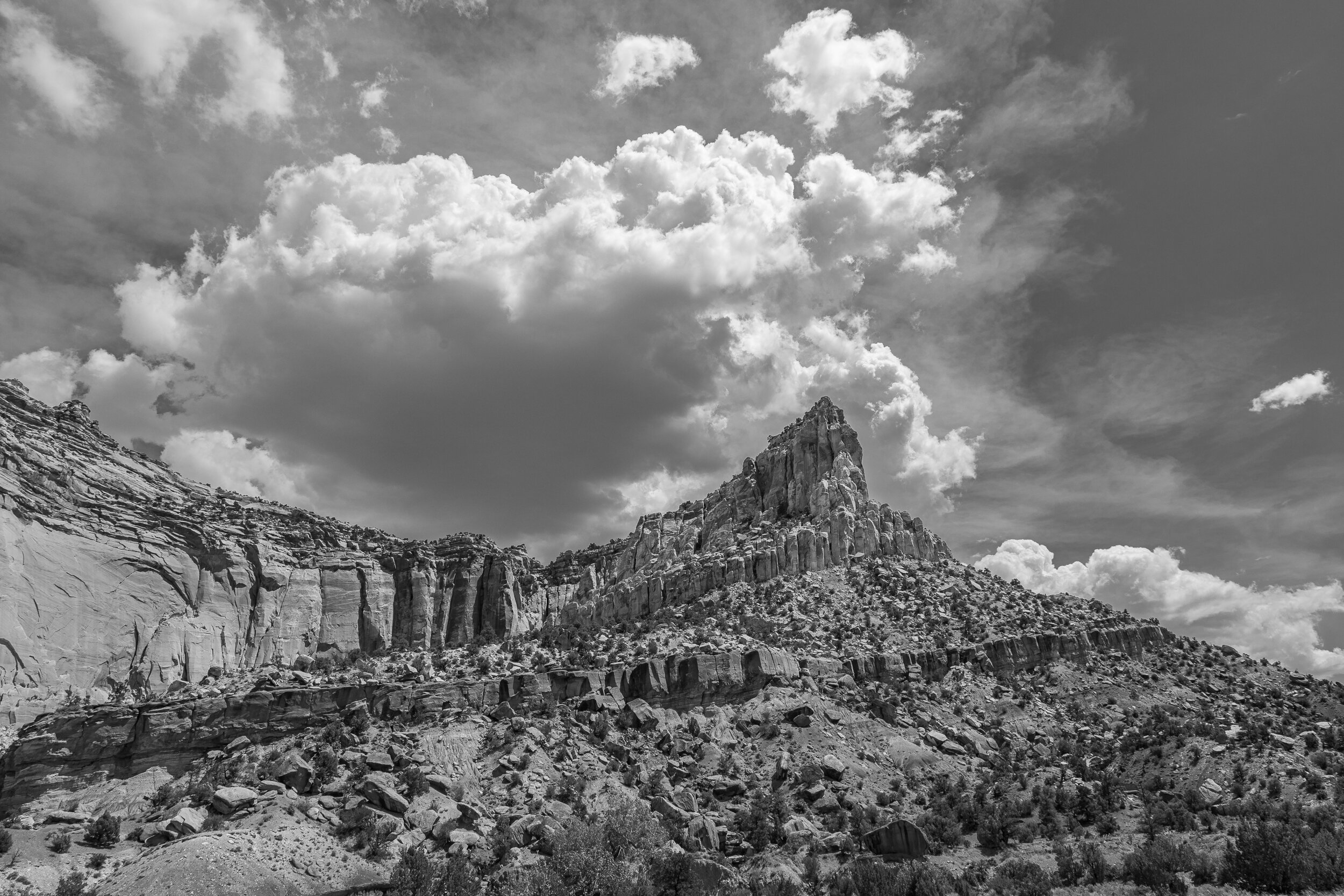
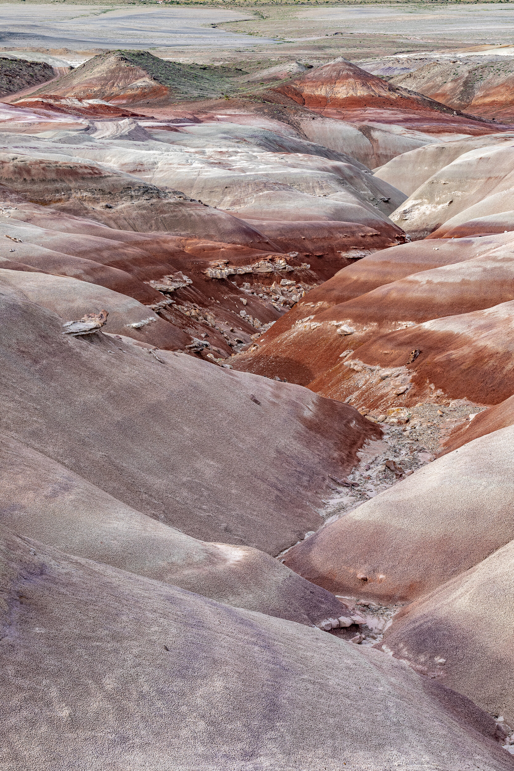
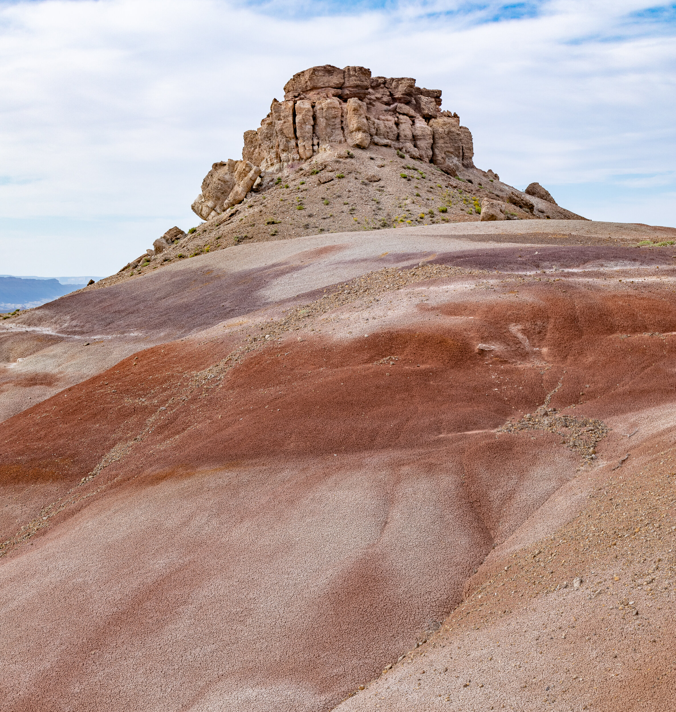
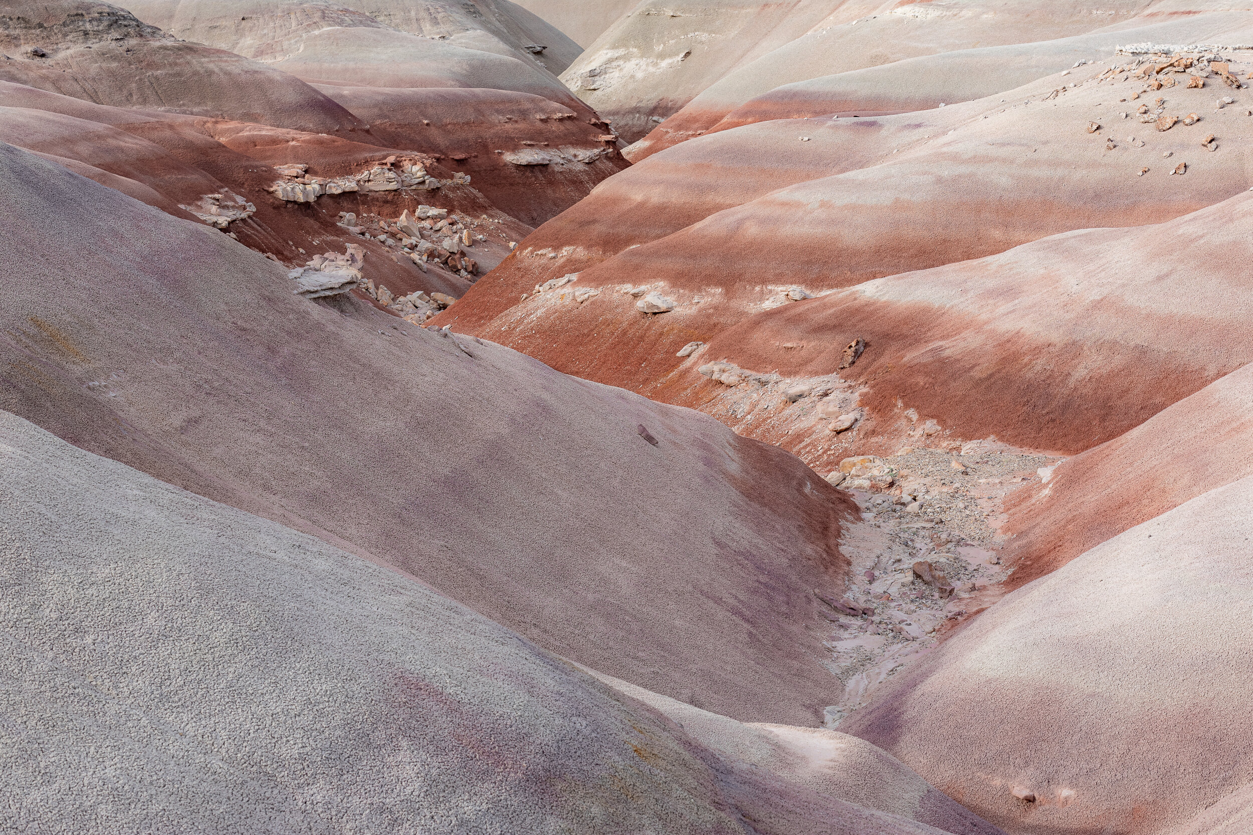
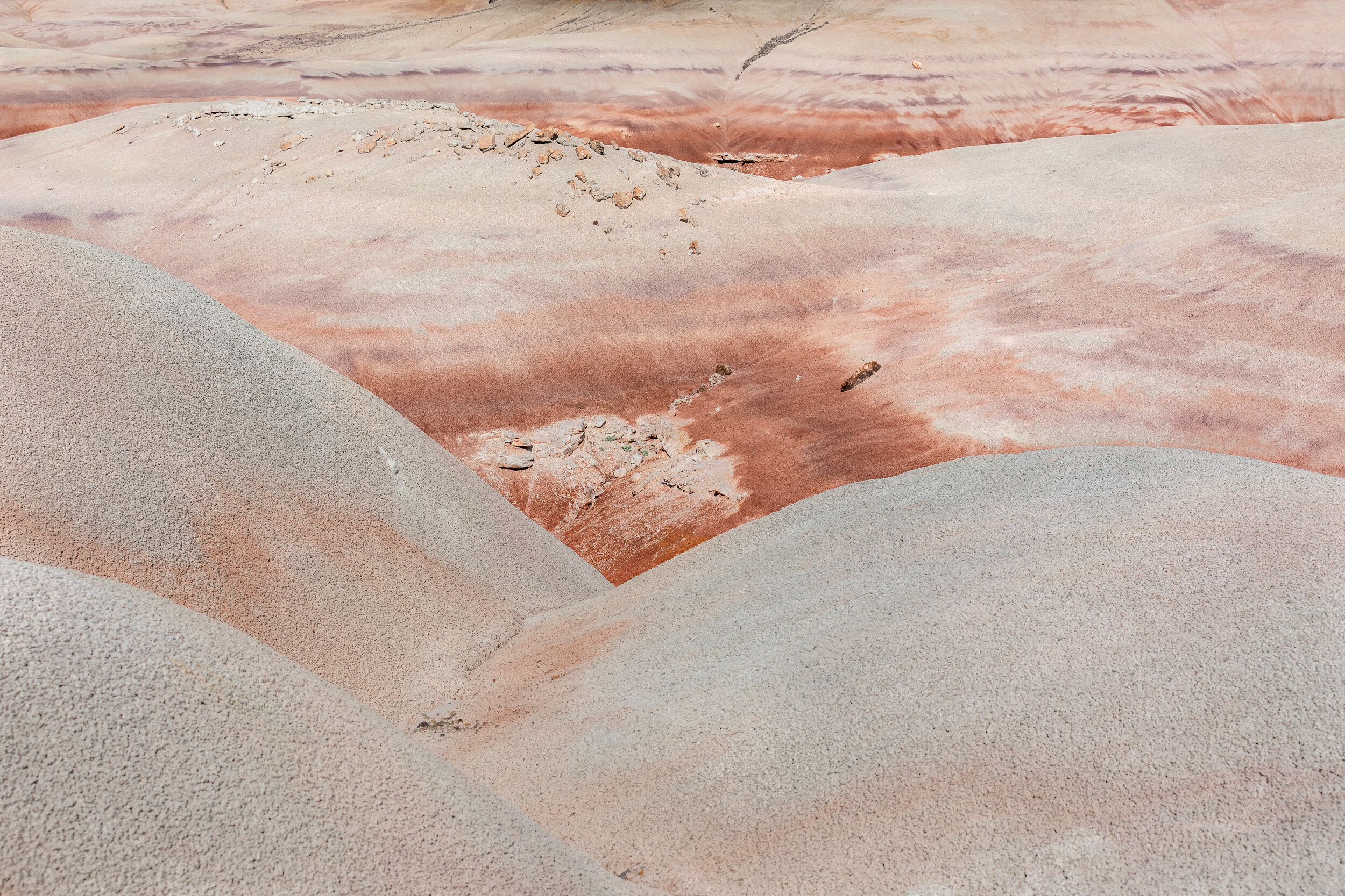
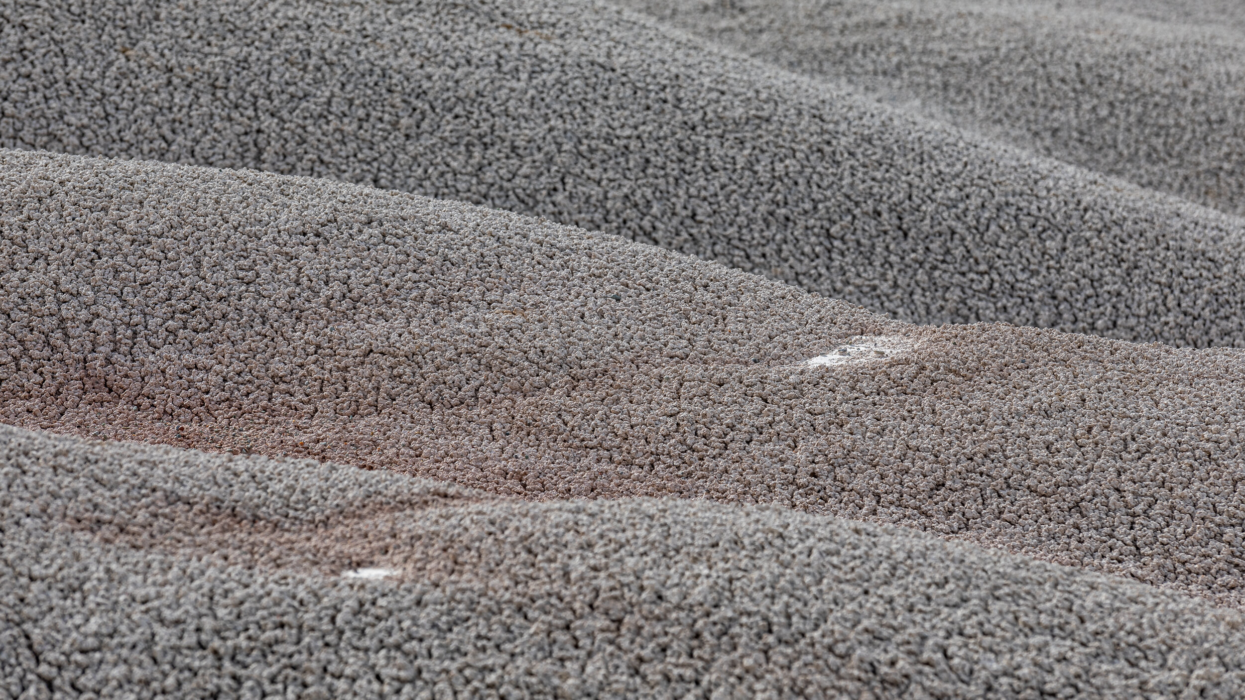
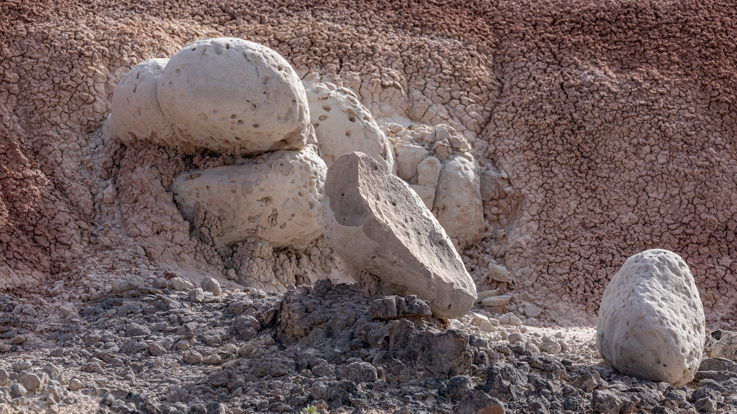
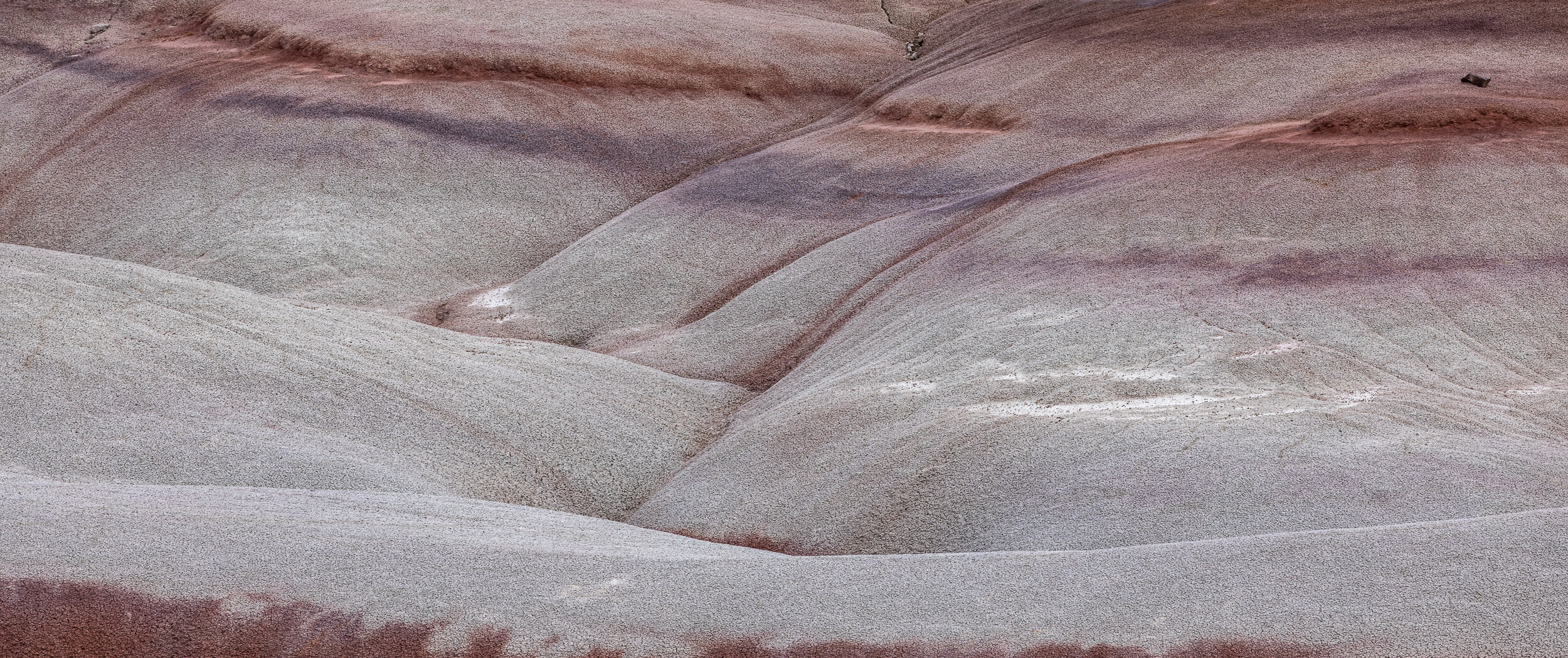
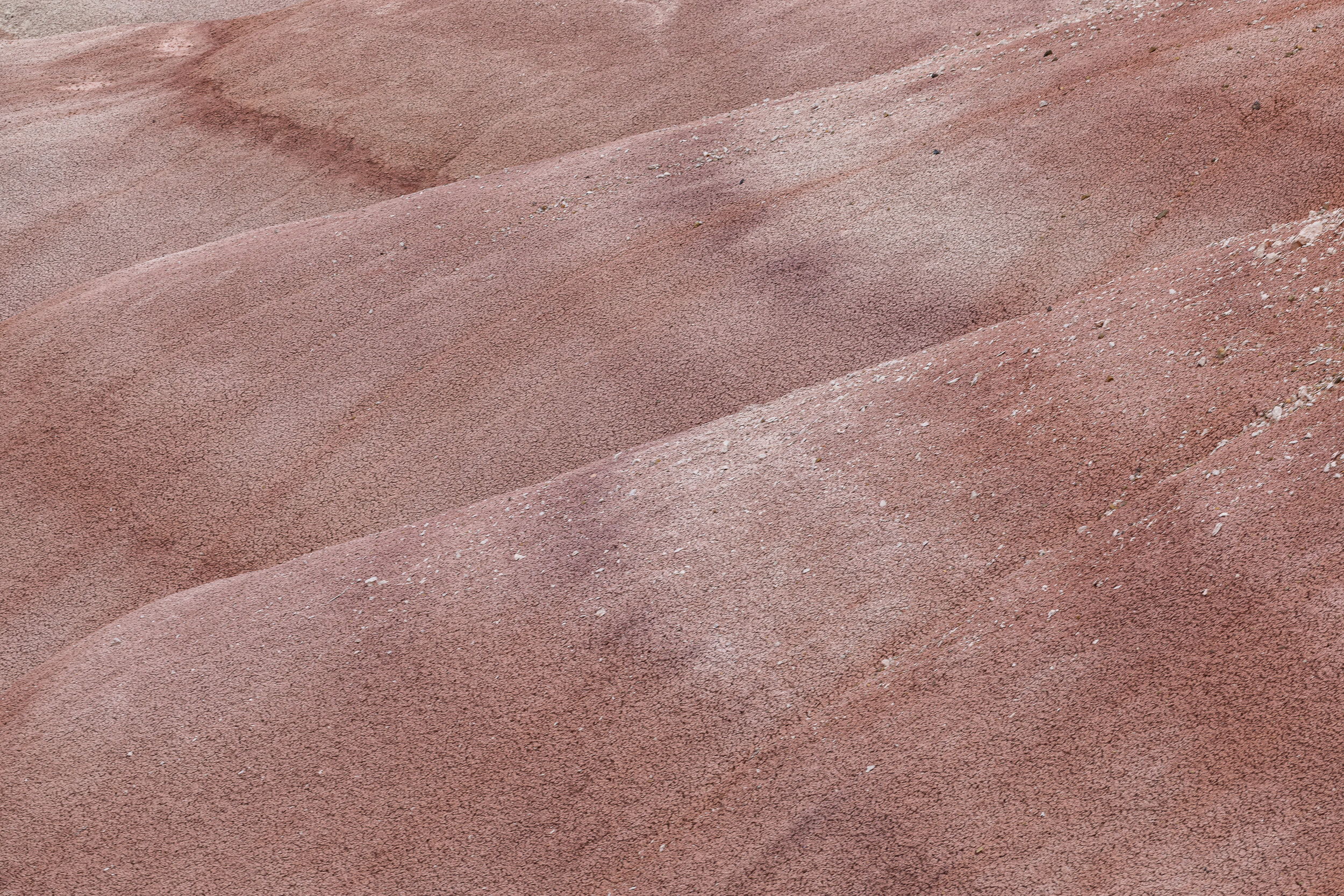
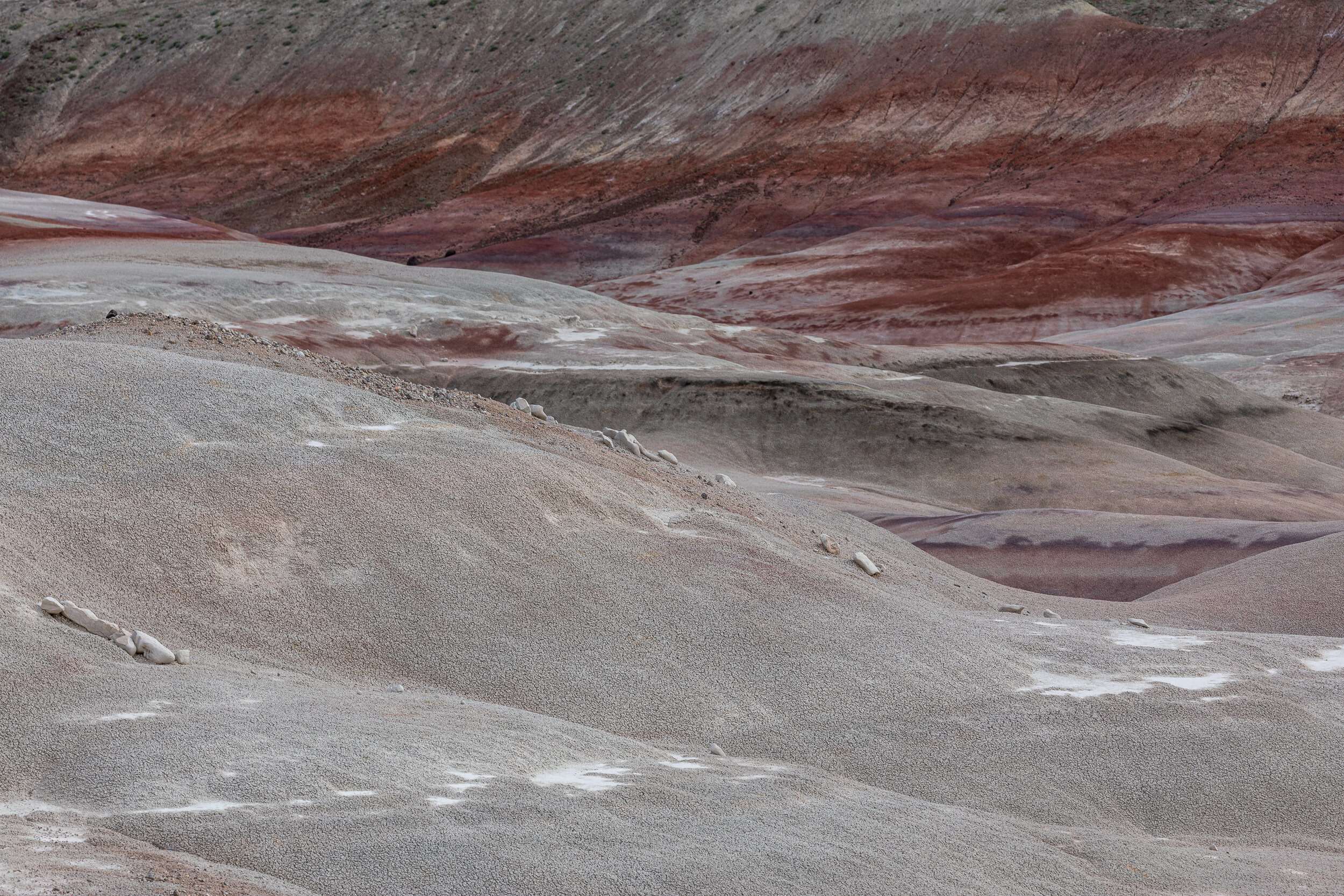
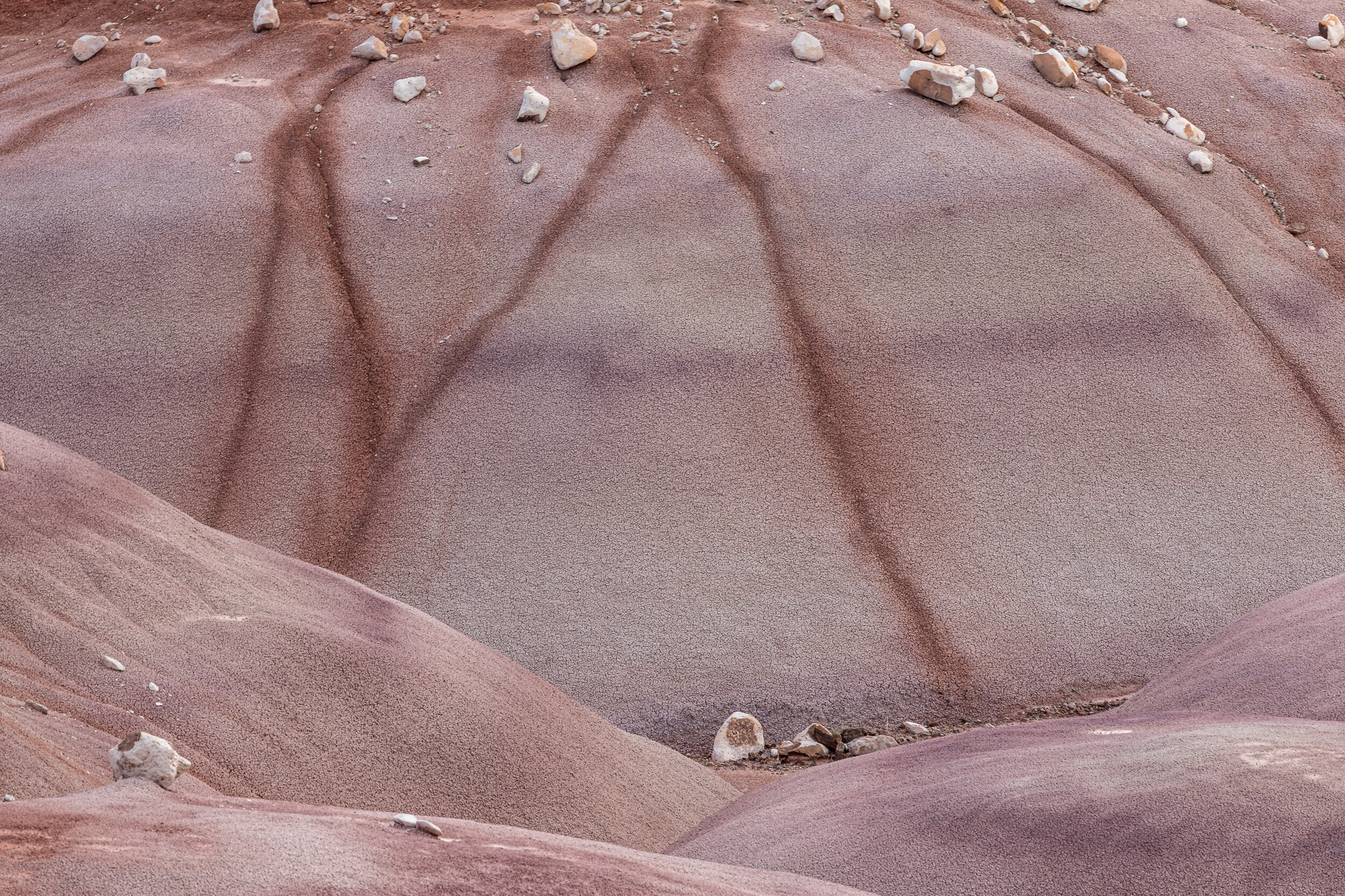
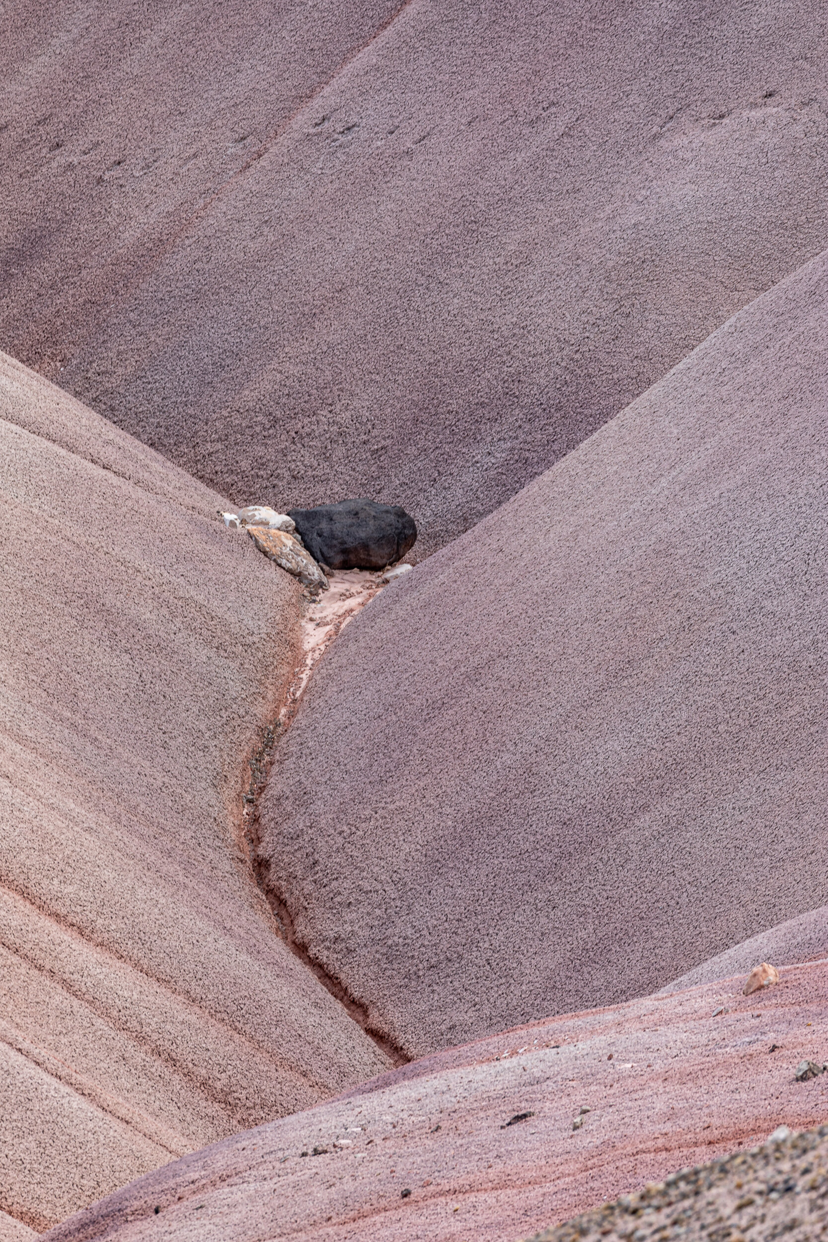
The Benonite Hills, which are located in Capitol Reef National Park, are banded hills in hues of brown, red, purple, gray and green. They can be found along a dirt road after fording the Fremont River in a 4-wheel drive vehicle. Fortunately, I was on a National Parks Photography Expeditions that provided the transportation to “roads less traveled”. I’m not sure I would have the nerve to drive across a river even if I was driving an appropriate vehicle.

I think because the bands on the hills are so linear, I found myself looking for curves to contrast will all the lines
Location Details
Couldn’t find Benonite Hills on Google Maps or the National Park map. The closest reference I found was the location of the River Ford to access Hartnet road. The Benonite Hills must be somewhere along that road.
A search based on the GPS coordinates of one of my photos, noted by the big red marker, shows a location slightly out of the park boundaries
Find local businesses, view maps and get driving directions in Google Maps.
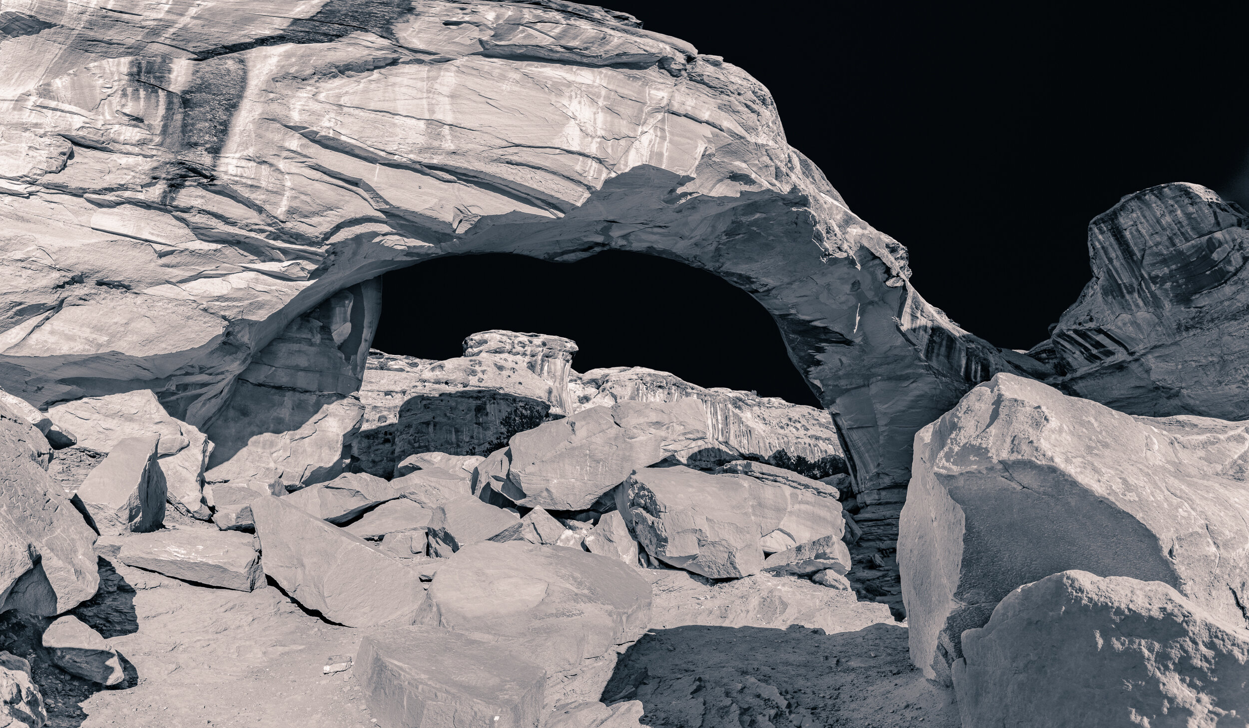
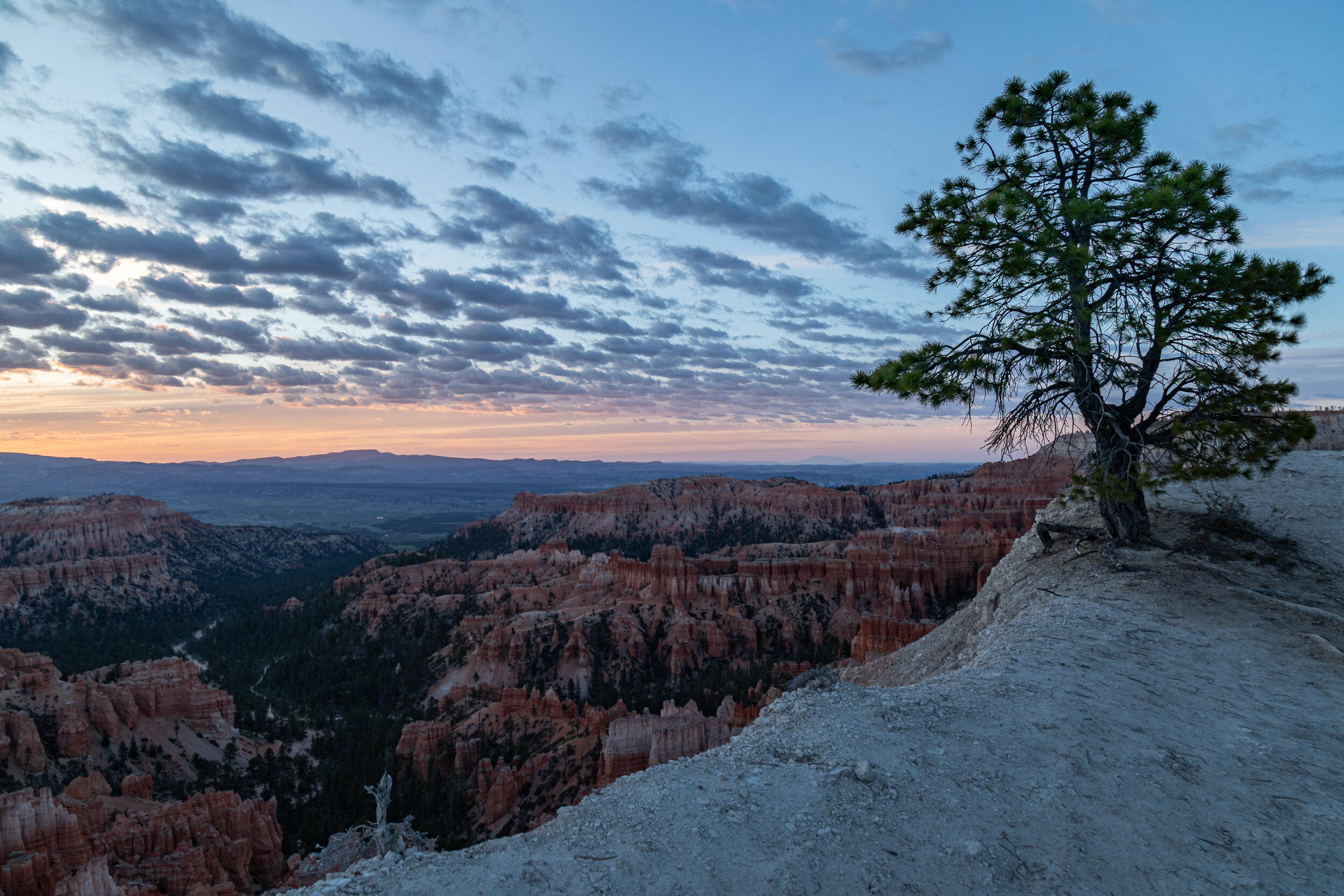
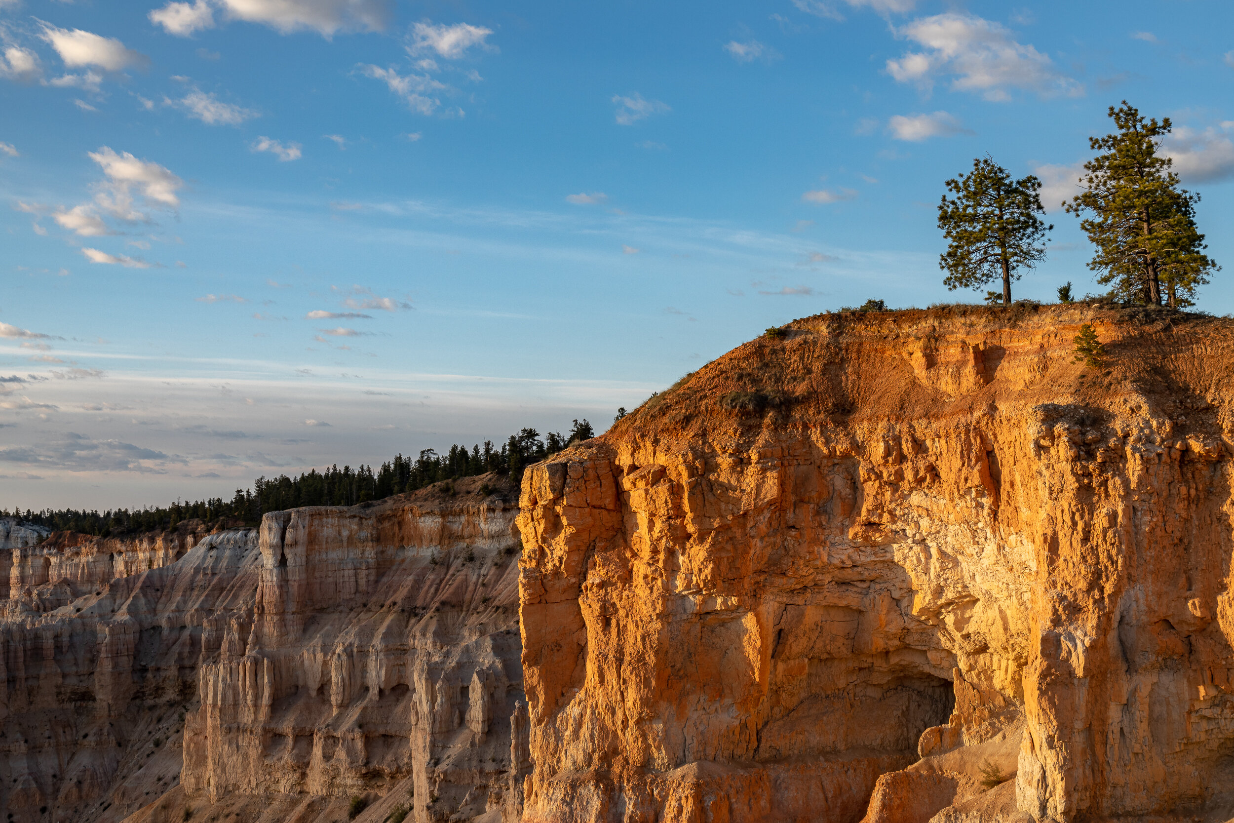
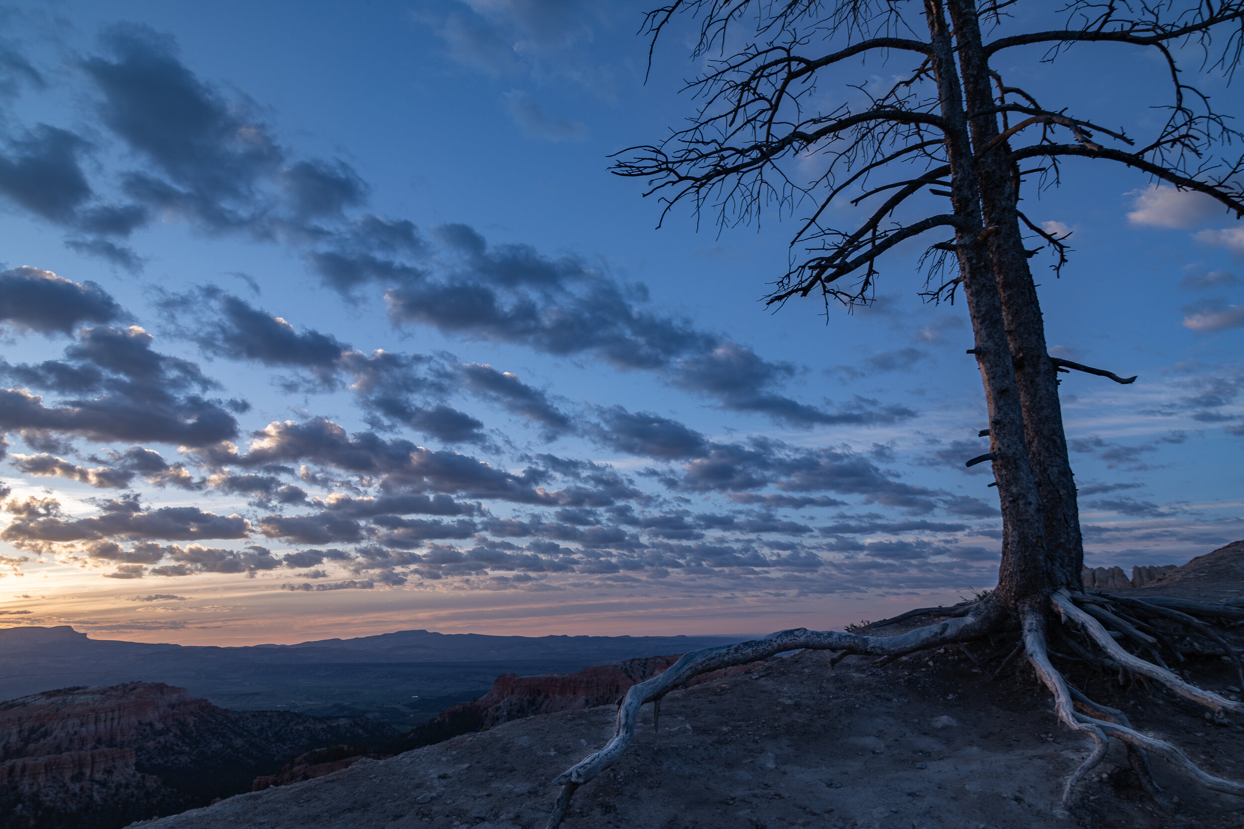
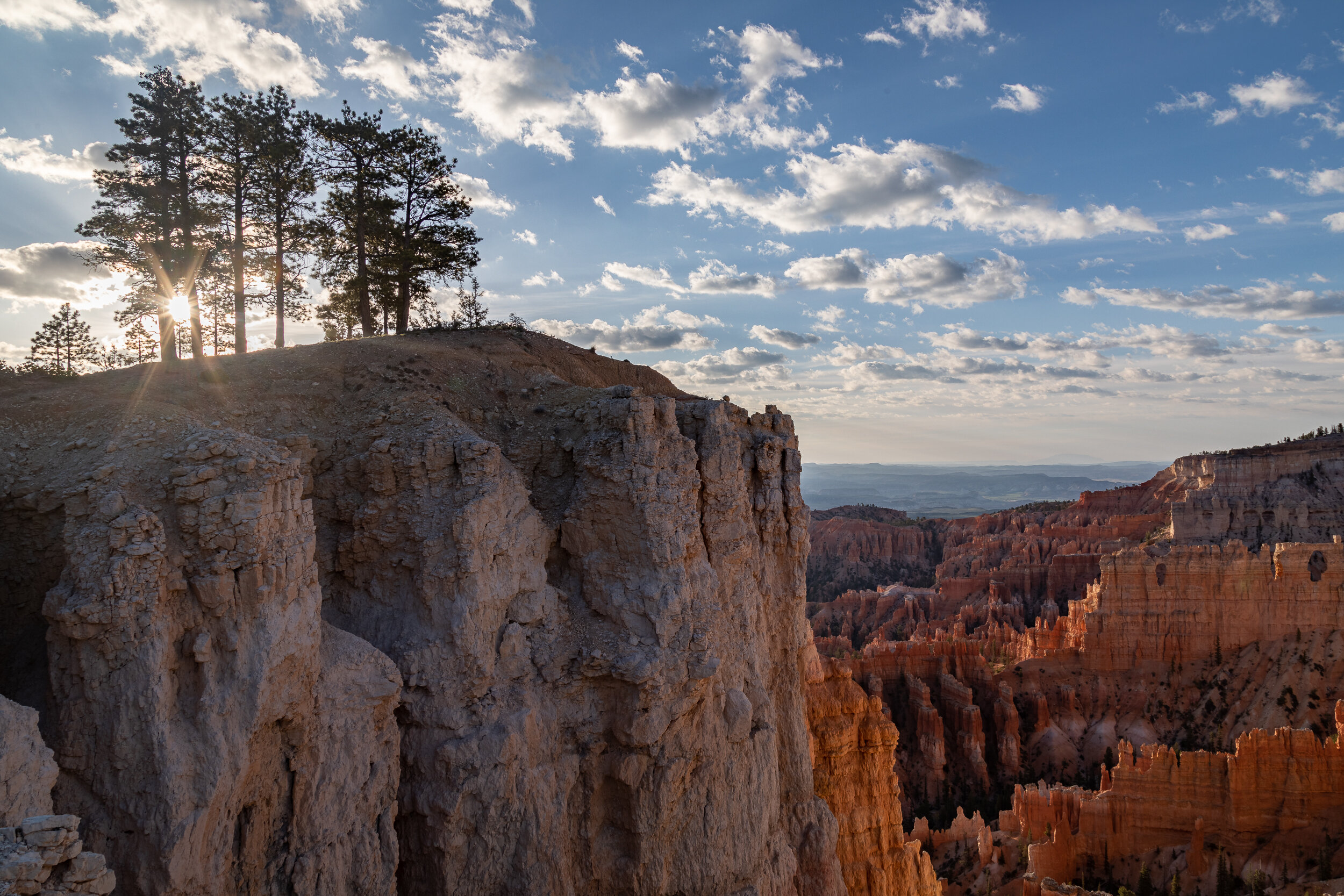
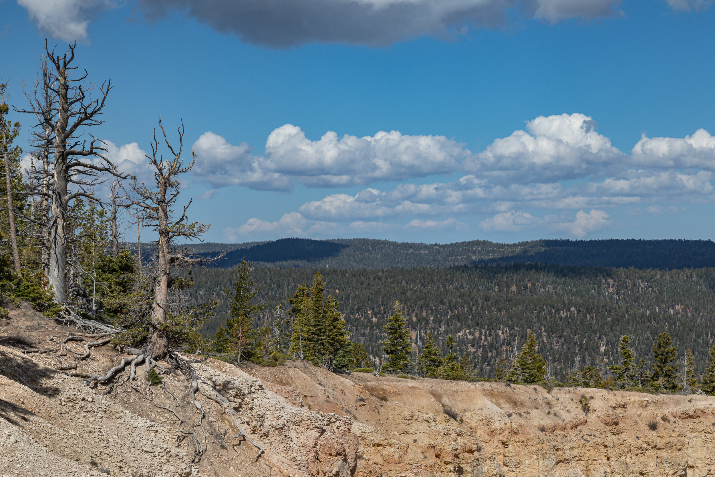
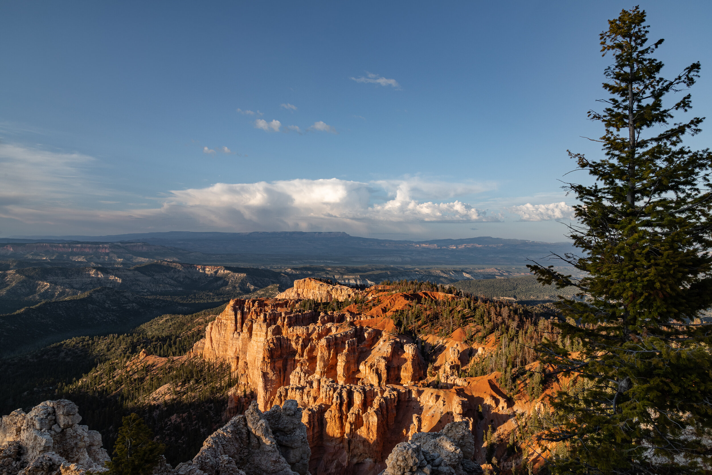
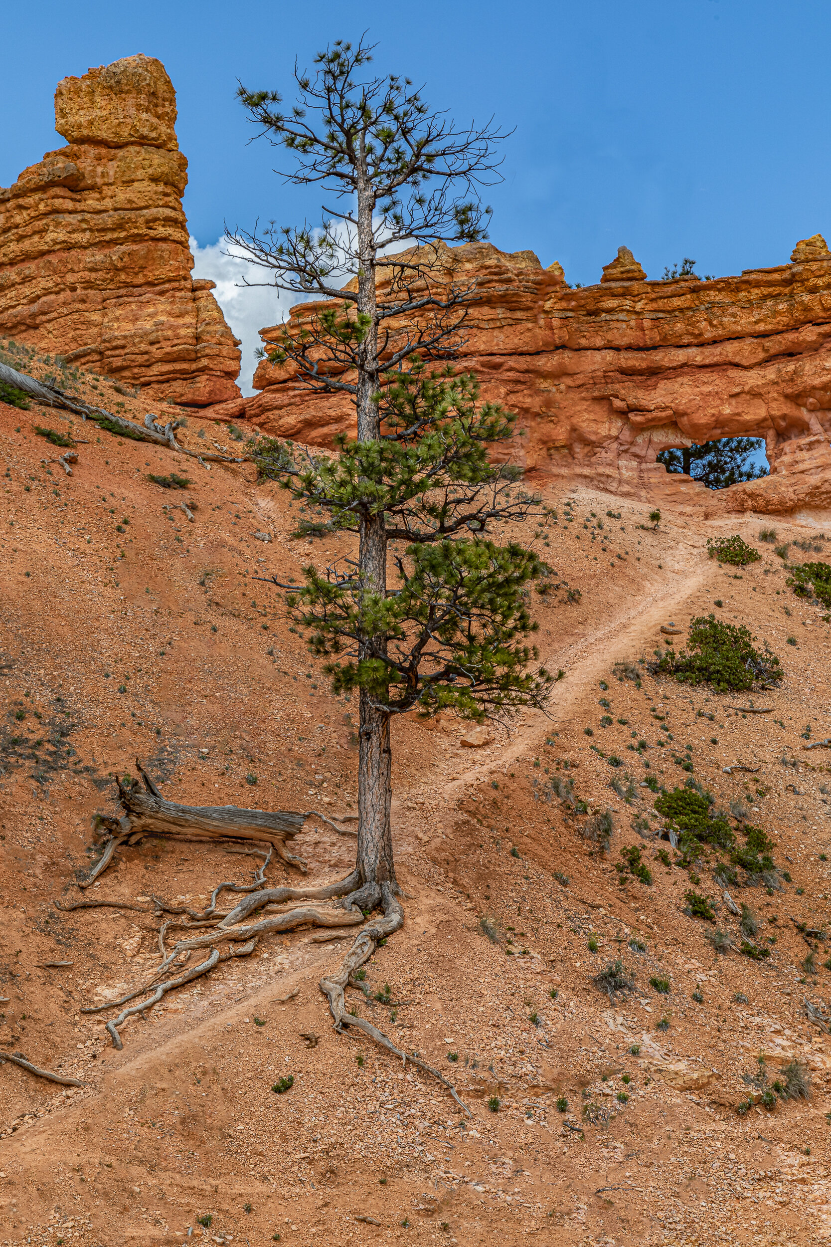
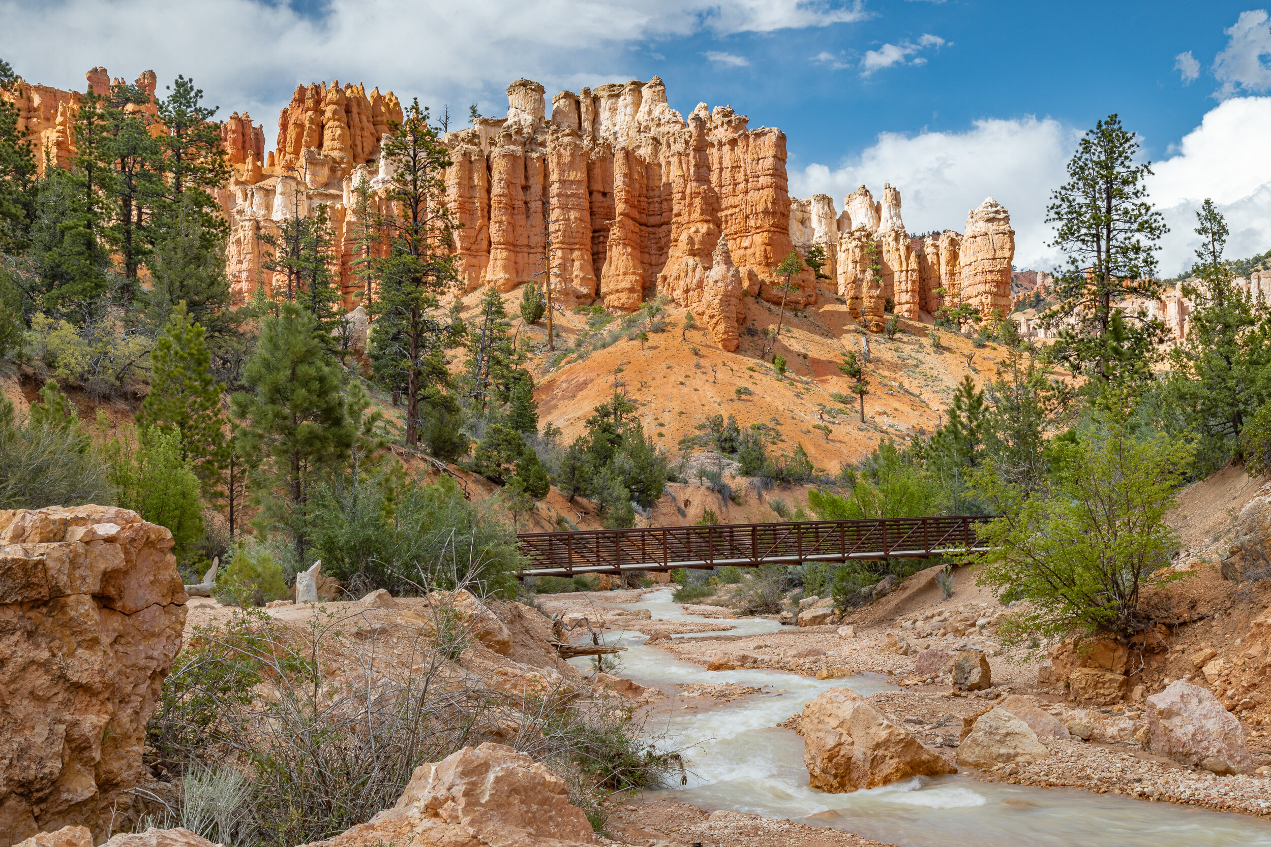
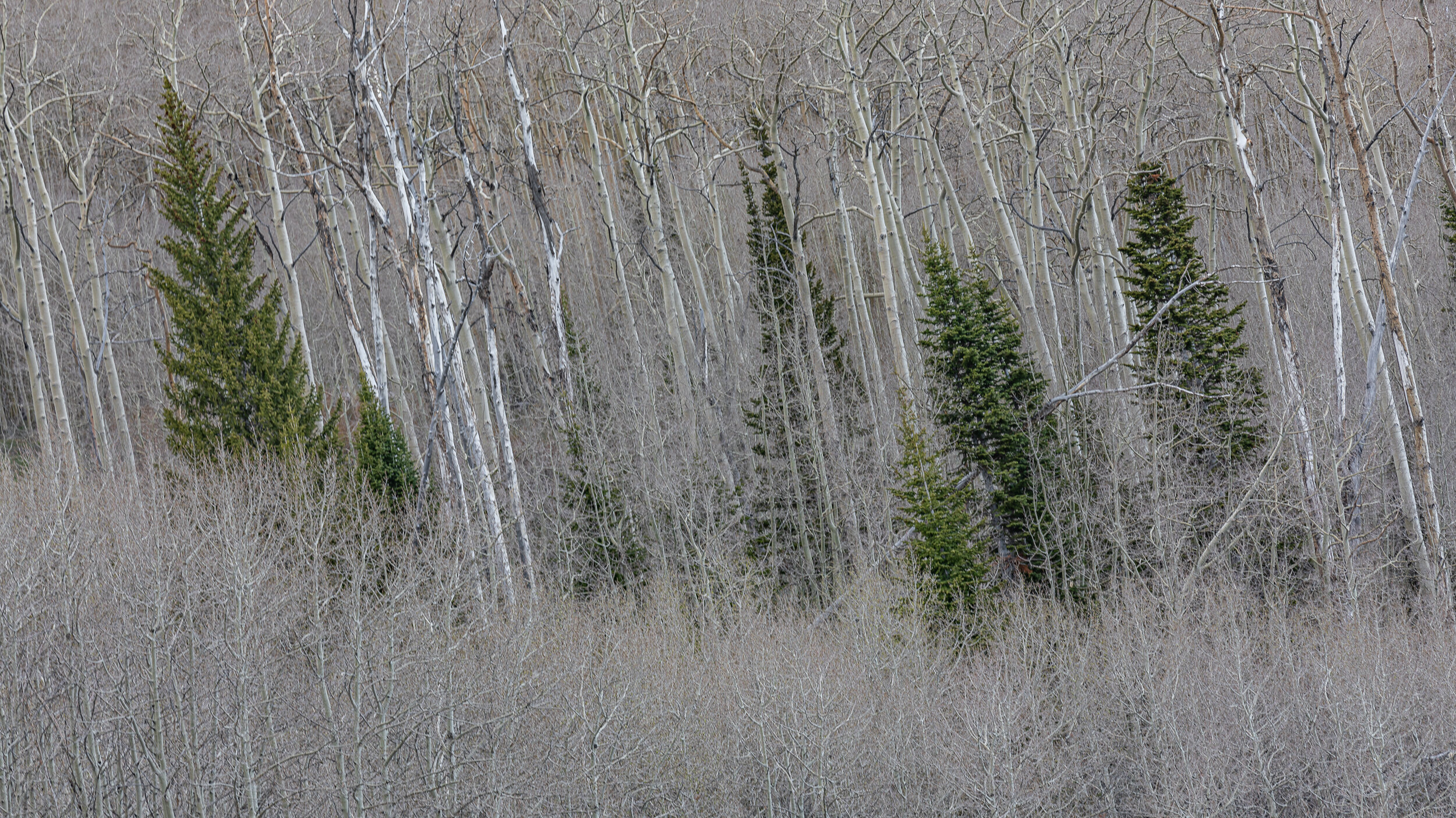
Bryce Canyon National Park is known for it’s amphitheaters full of Hoodoos. Hoodoos are irregularly eroded spires of rock. The main amphitheater is viewed from various viewpoints along the 18-miles scenic drive. The viewpoints all have the perspective of standing at the top and looking down. To get in closer you’ll need to take one of the numerous hiking trails to hike down into the amphitheater. The hike I chose to take went through the Bristlecone Pine forest rather than down into the hoodoos.
I didn’t find looking down into the wide expanse of the amphitheater that interesting after a while, and found myself seeking out the trees as my photographic subject and letting the rocks be the background. With all the rock, it’s hard to imagine how the trees grow in some of the places you’ll find them.
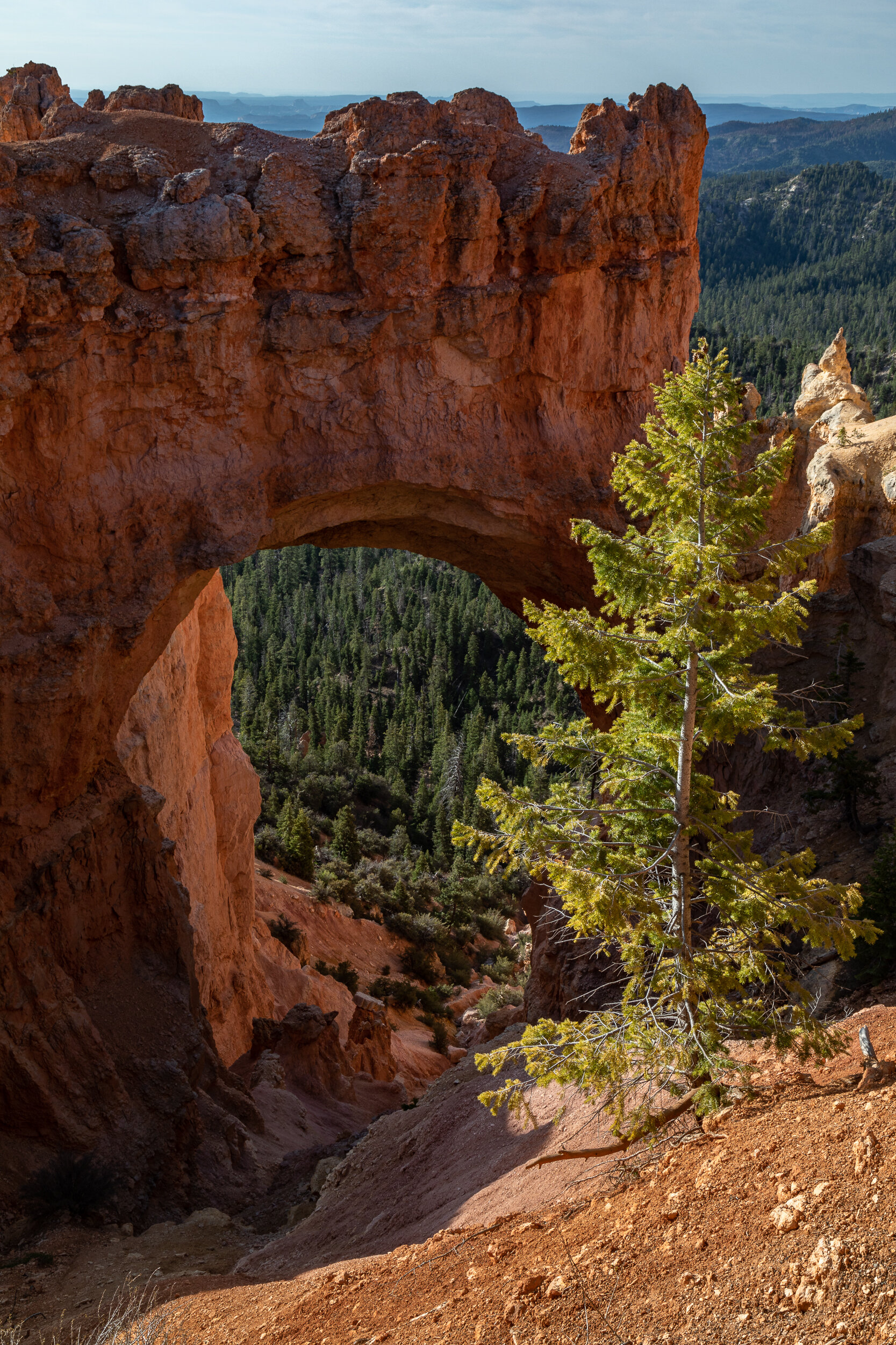
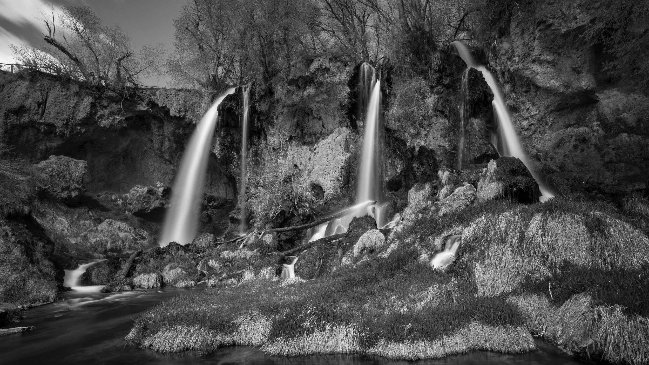
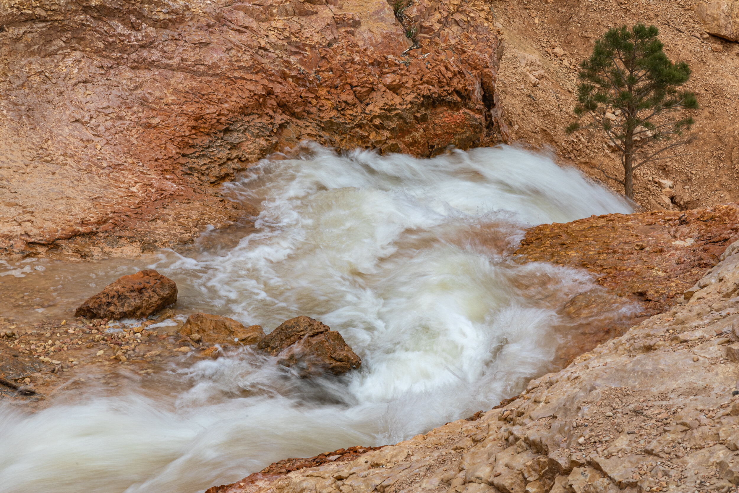
There is another section of the park called Mossy Cave, that with a short hike will take you to a creek and waterfall, where you are at ground level looking up at the hoodoos instead of looking down on them.
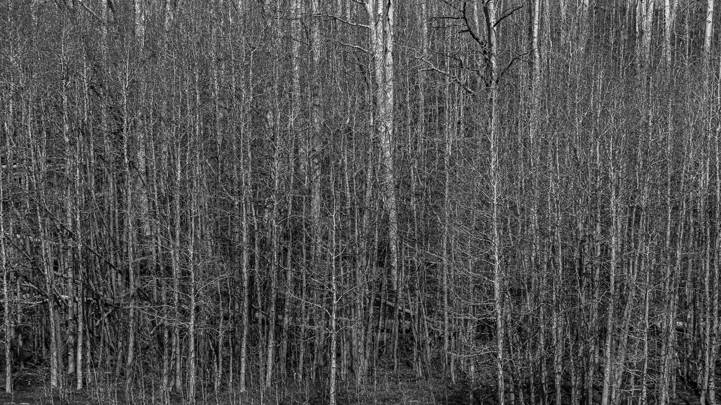
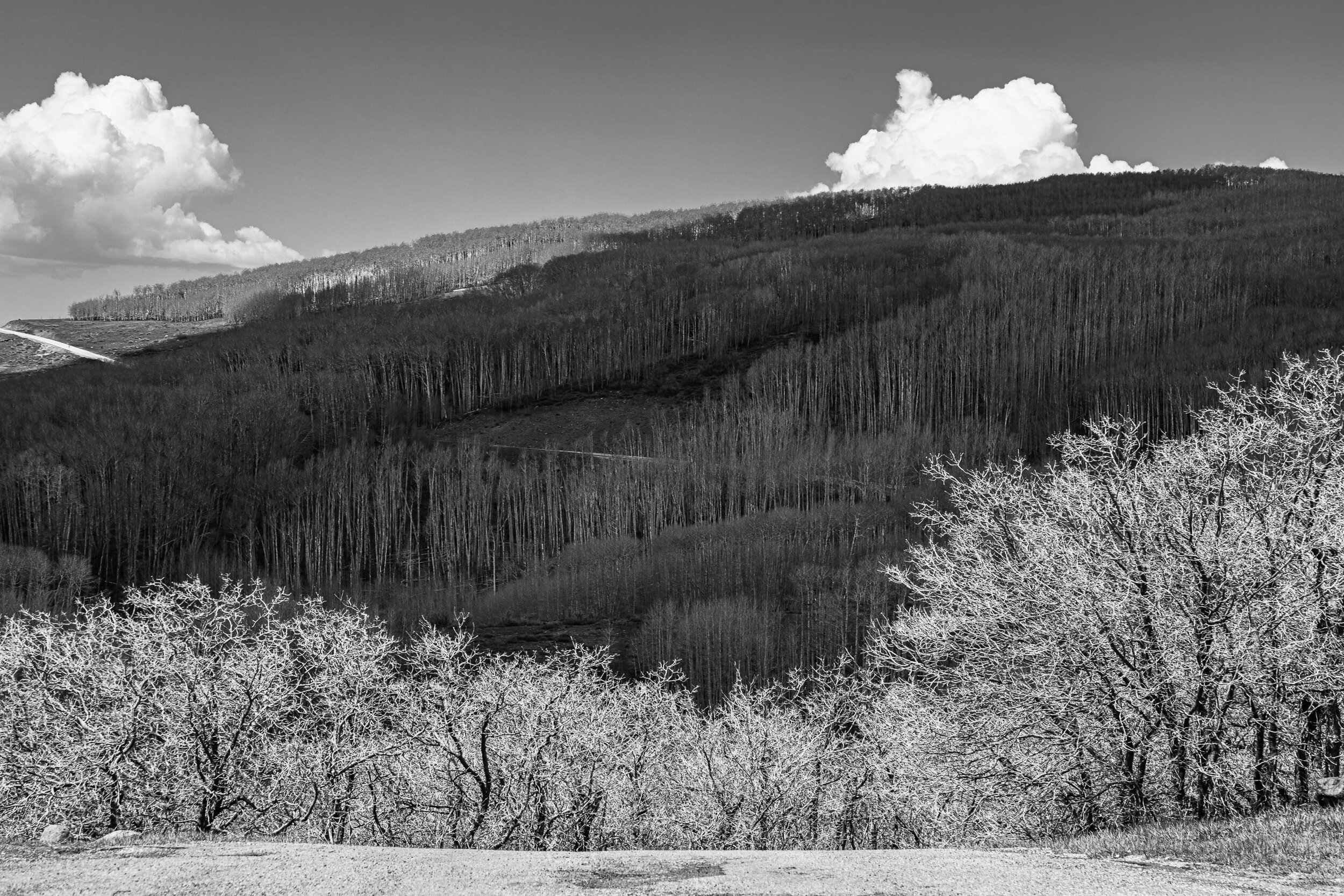
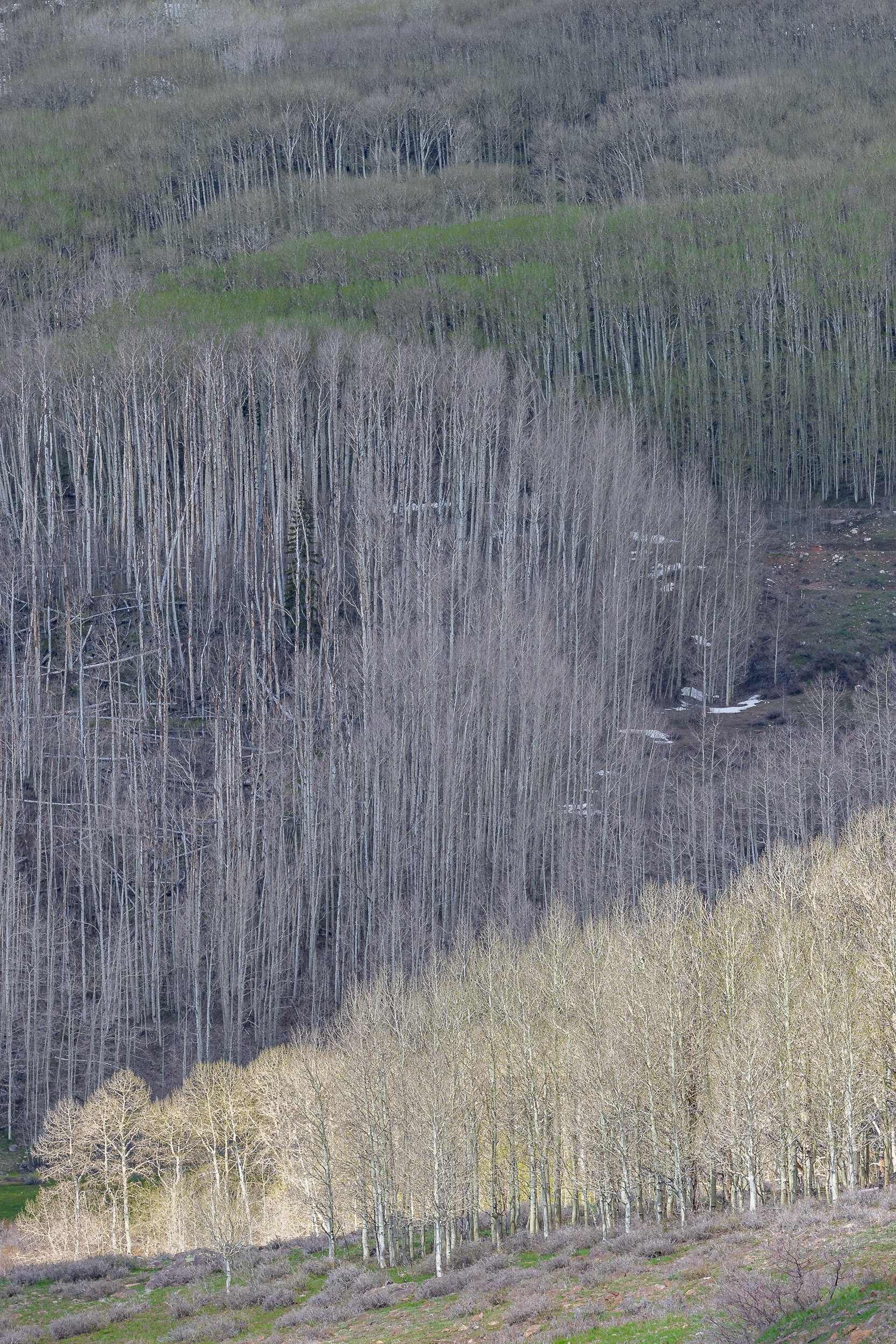
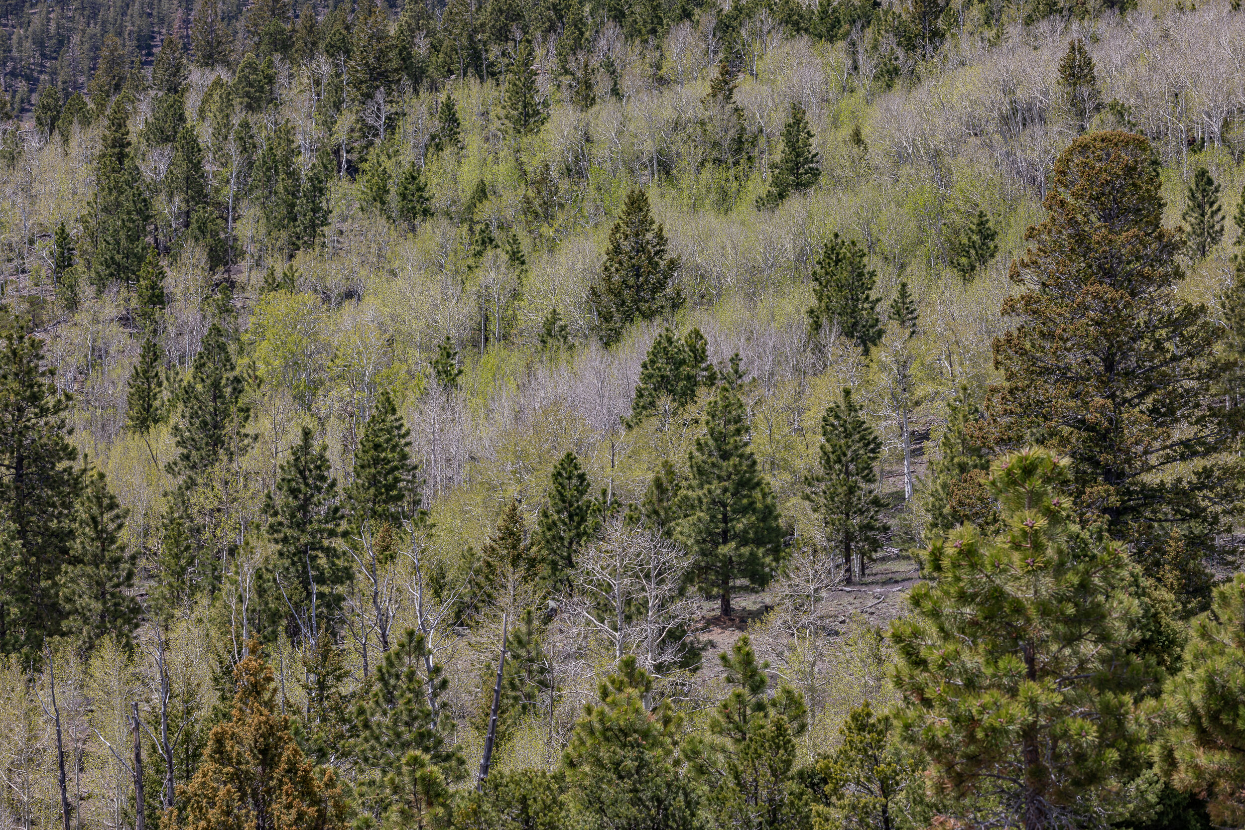
After leaving Bryce Canyon, I drove on Highway 12 to get to Capitol Reef National Park. It may have been focus on the trees in Bryce Canyon, but I was fascinated with the trees along the highway and made many stops to photograph them.
Location Details
Find local businesses, view maps and get driving directions in Google Maps.
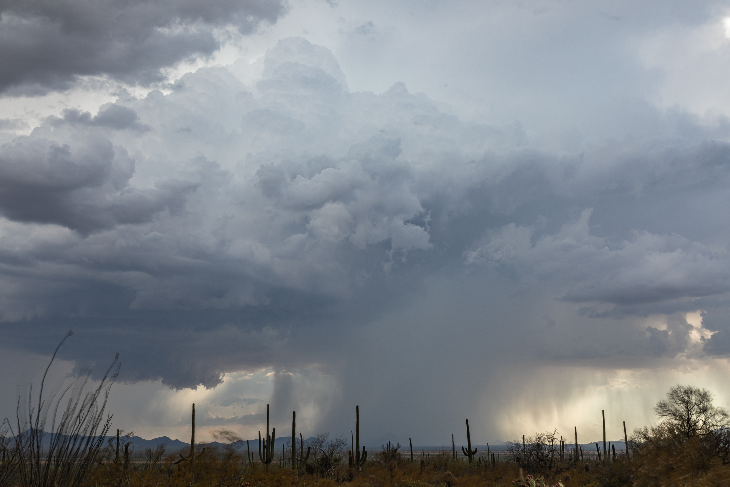
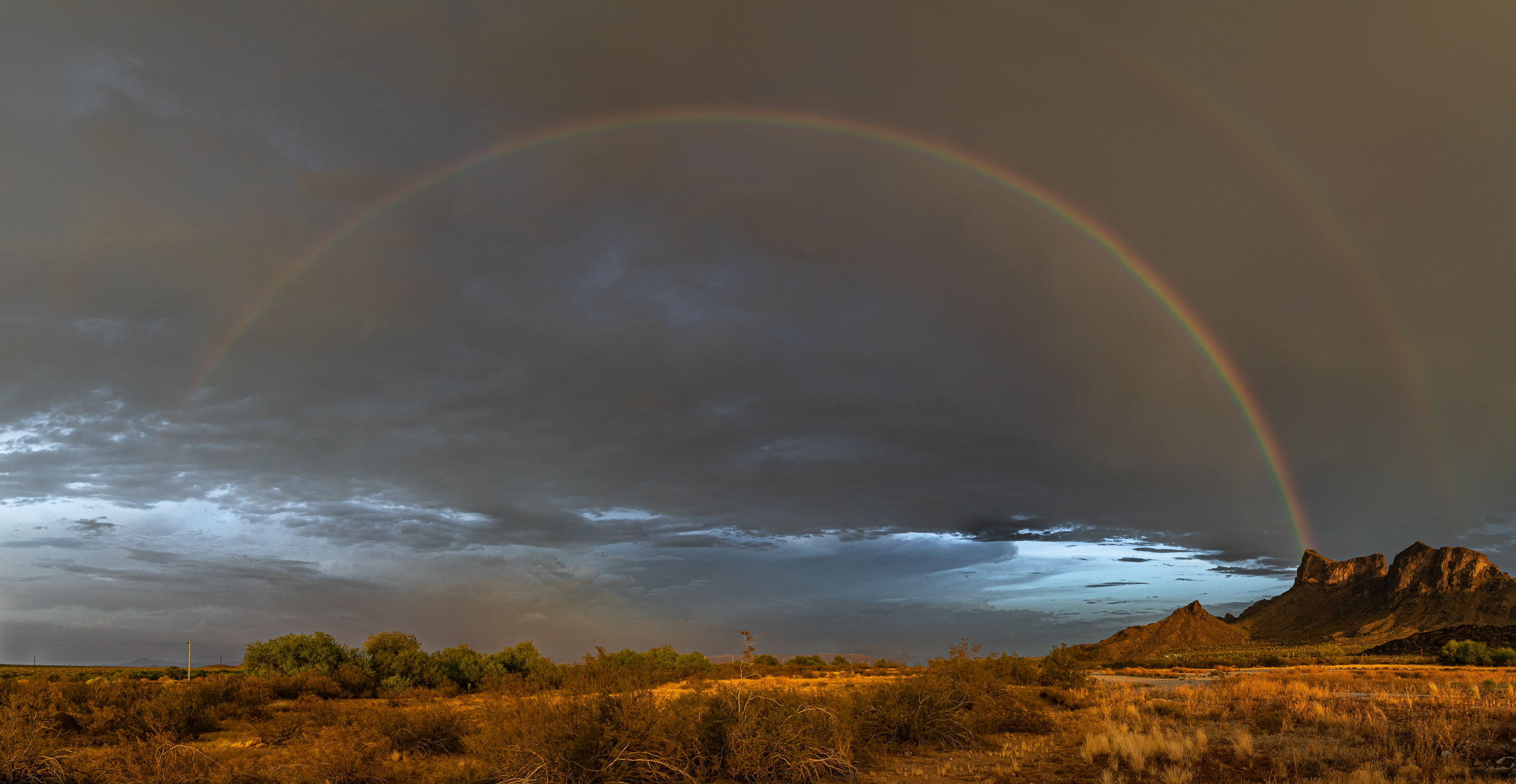
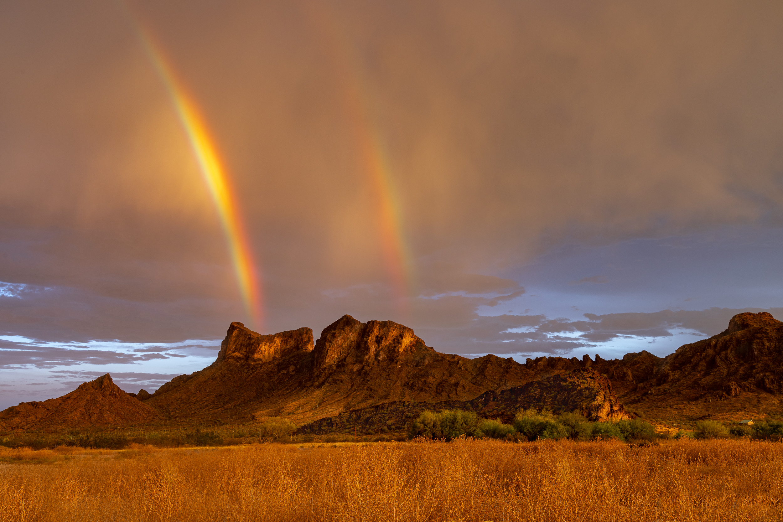
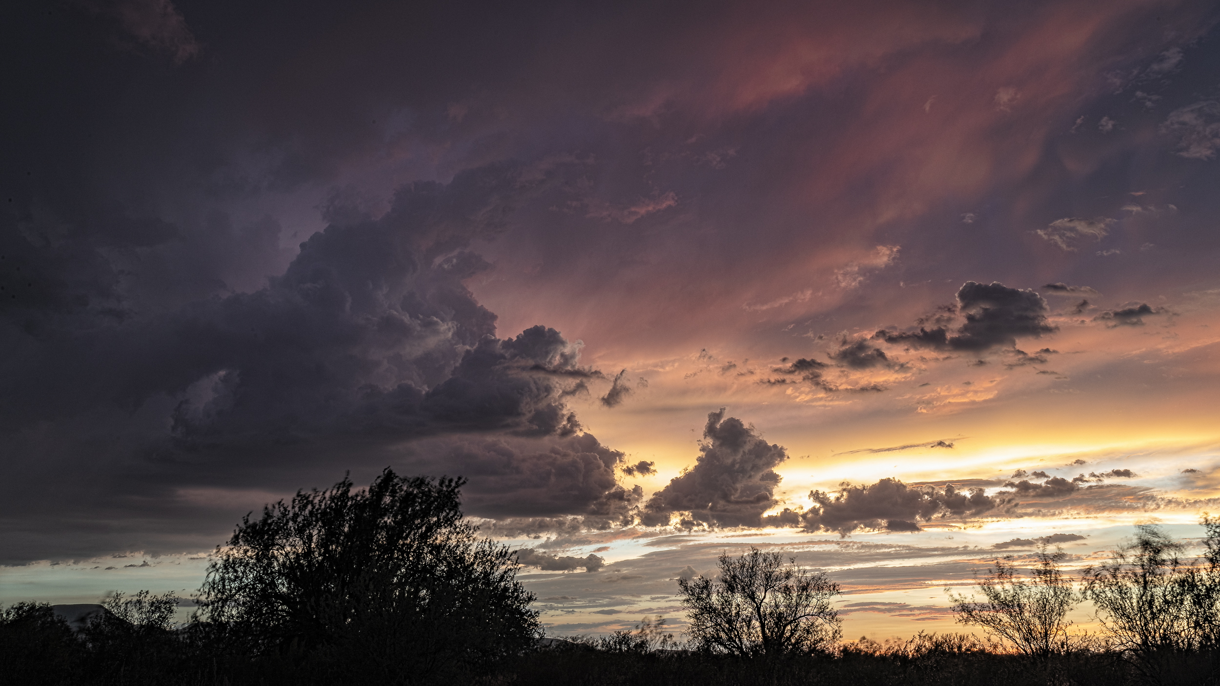
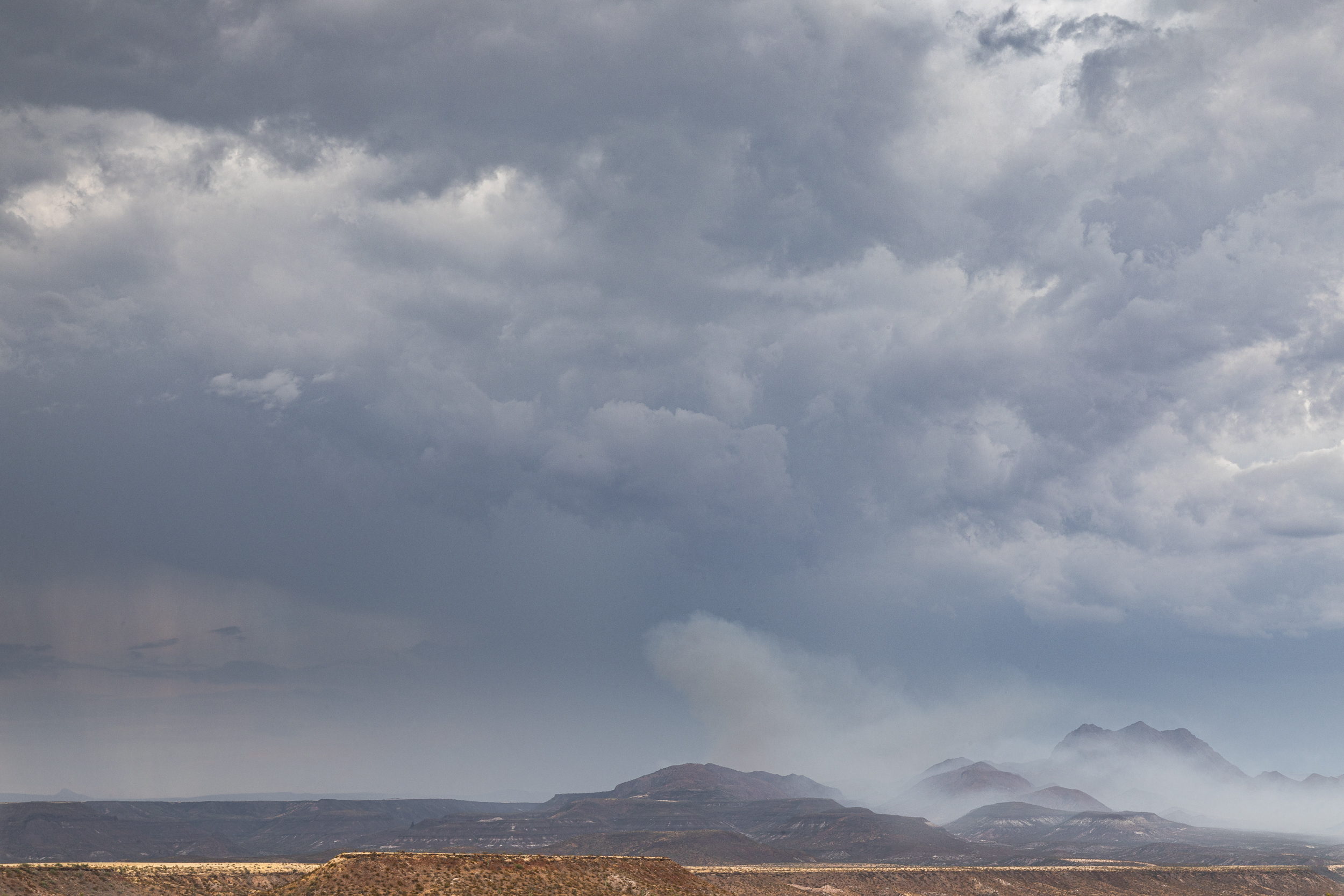
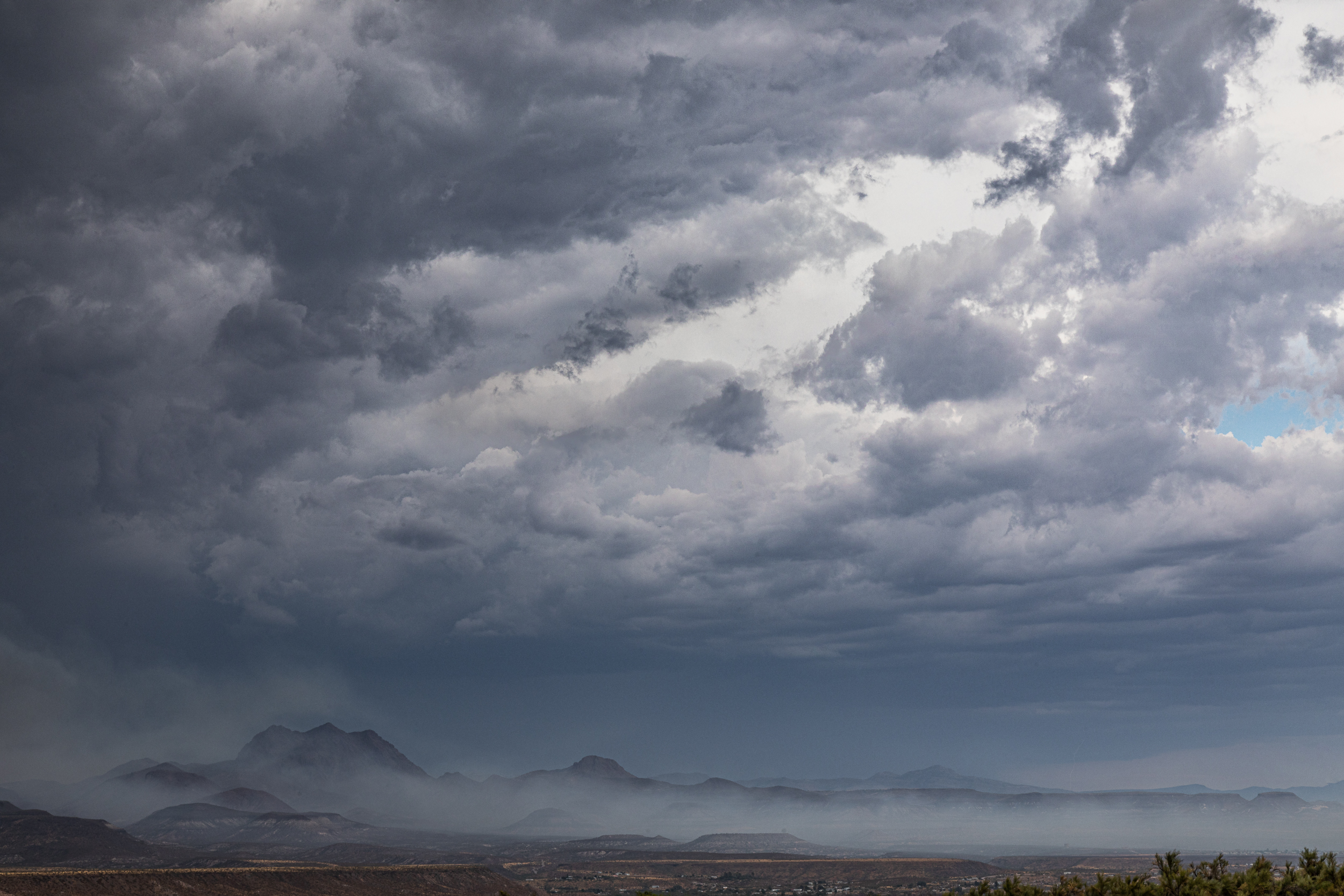
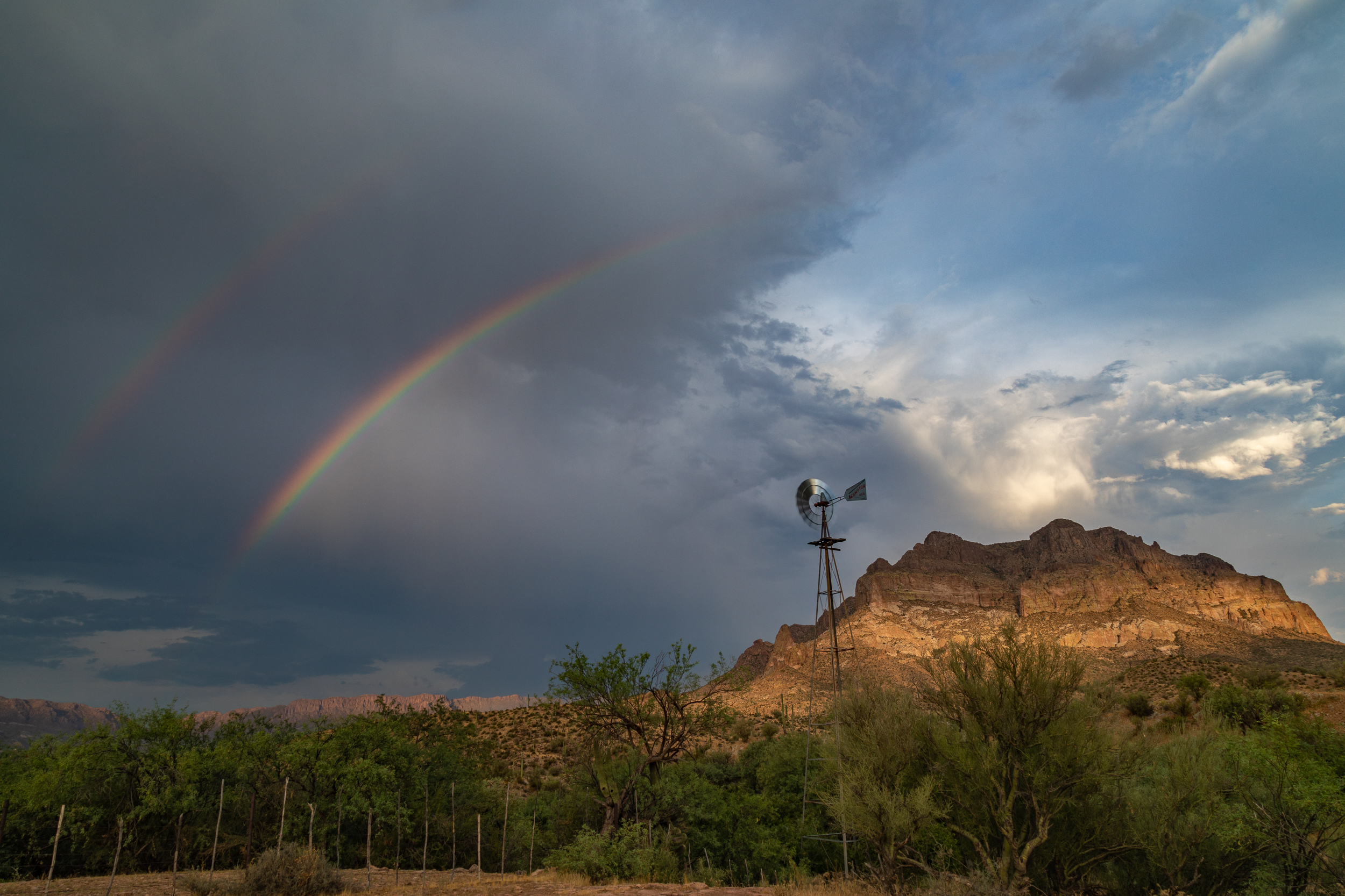
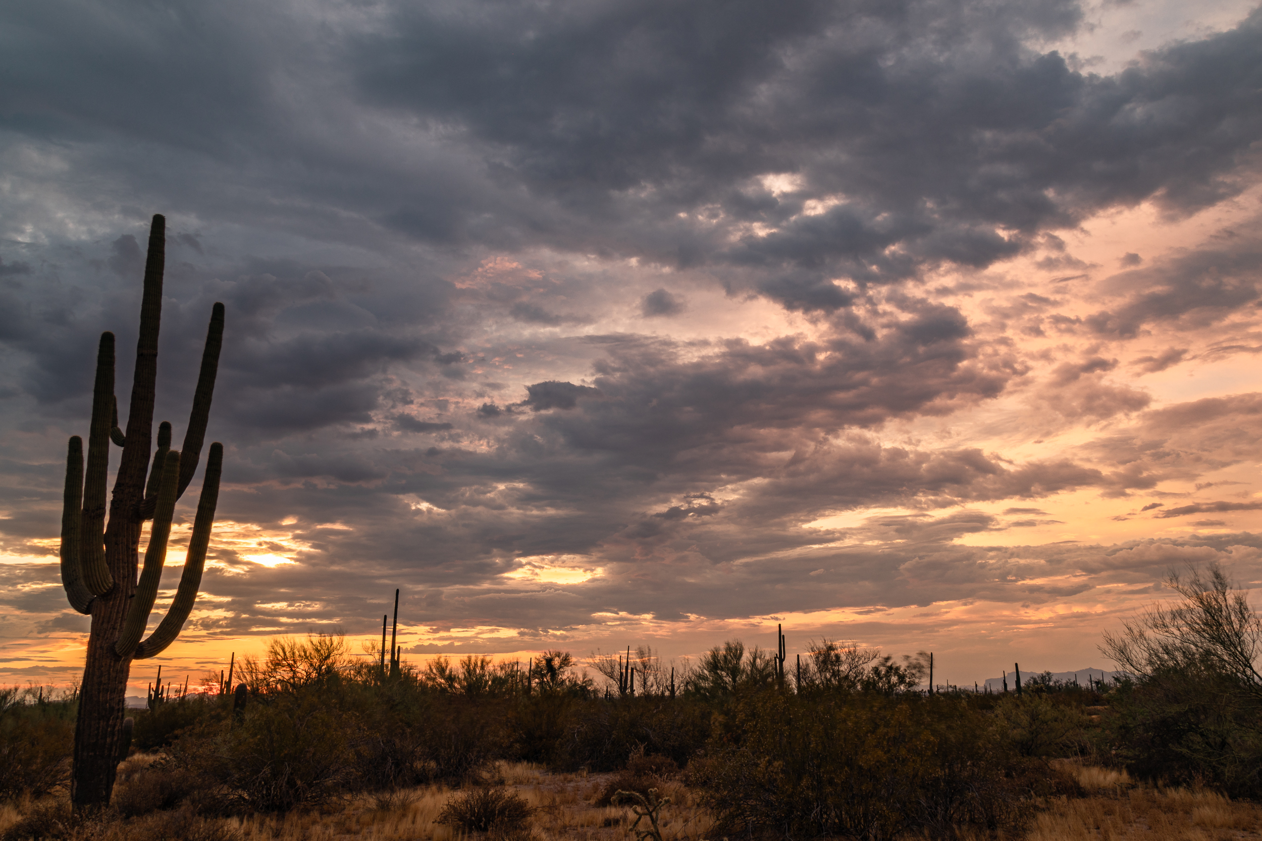
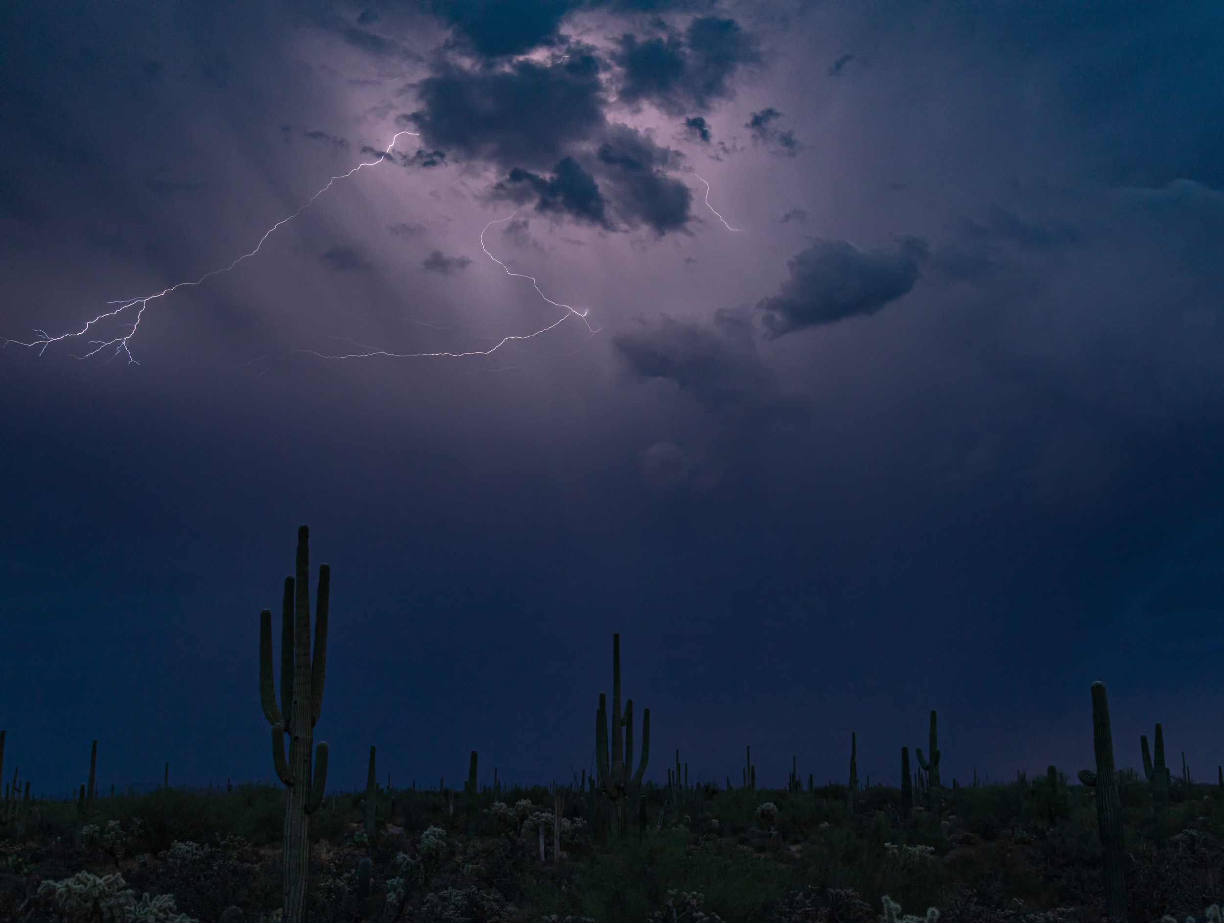
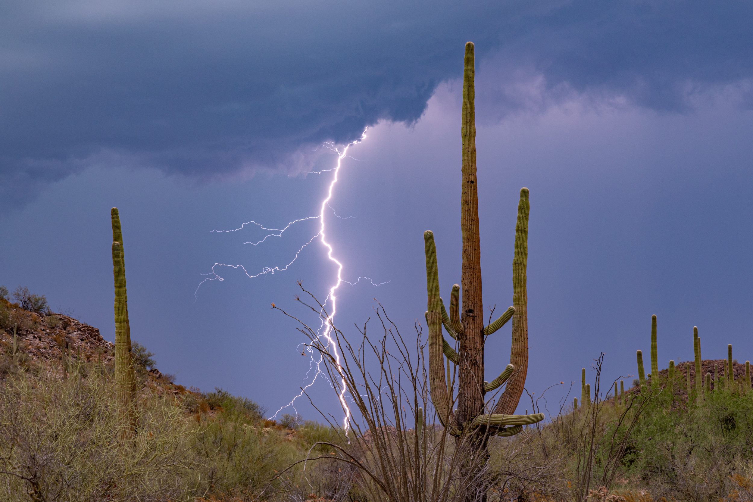
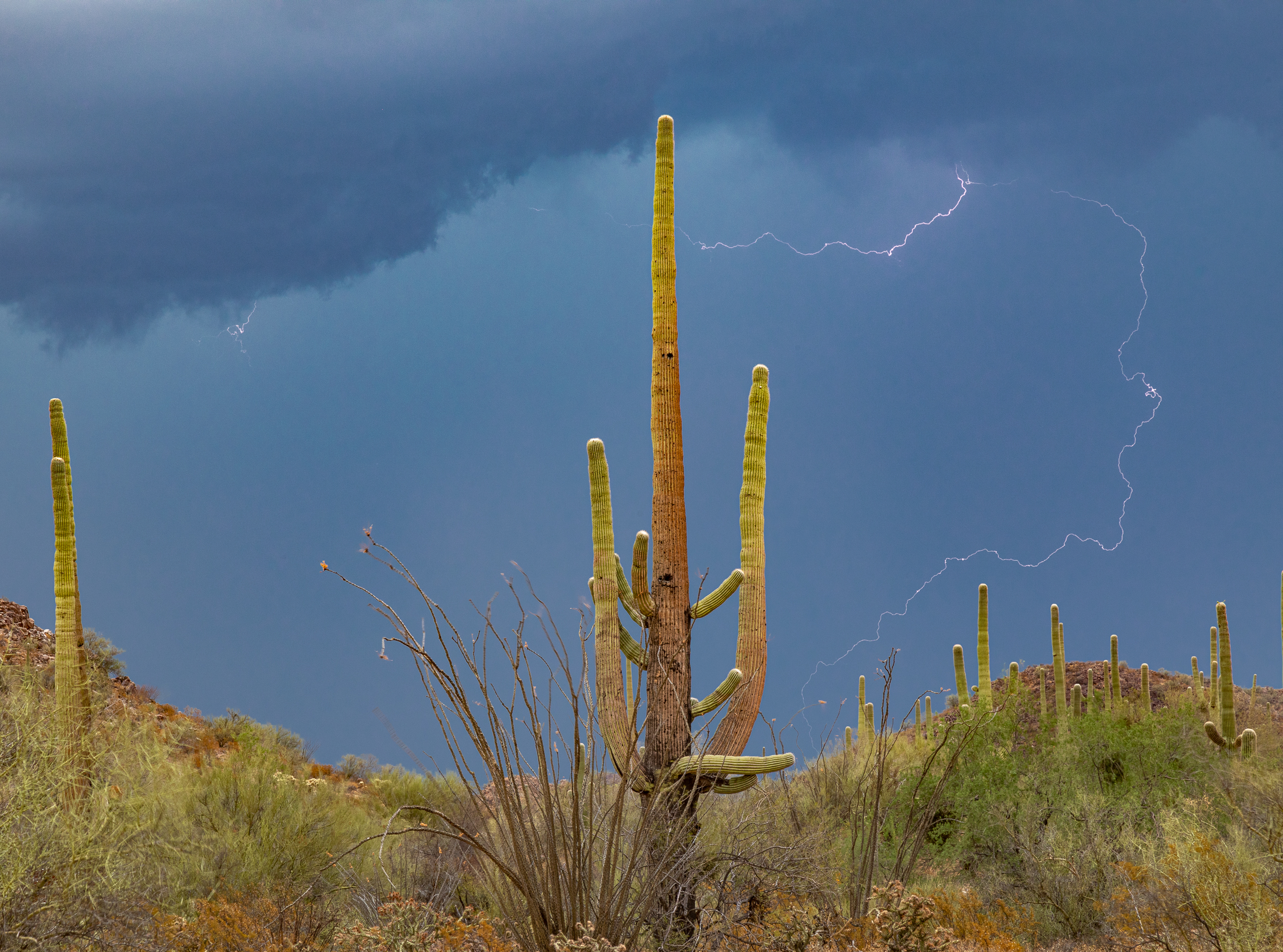
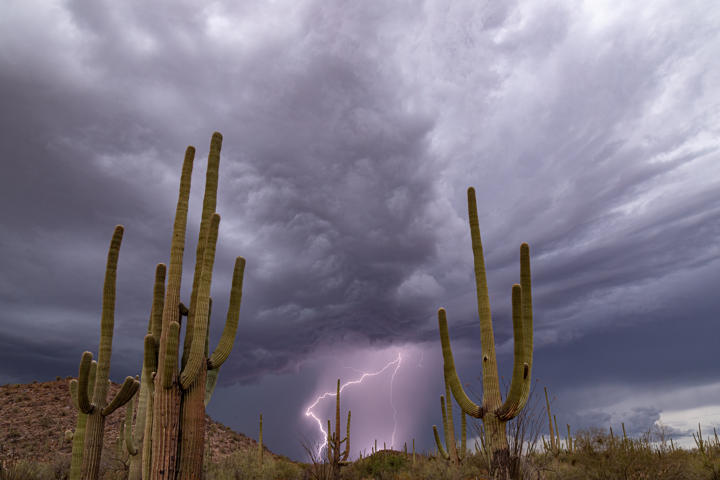
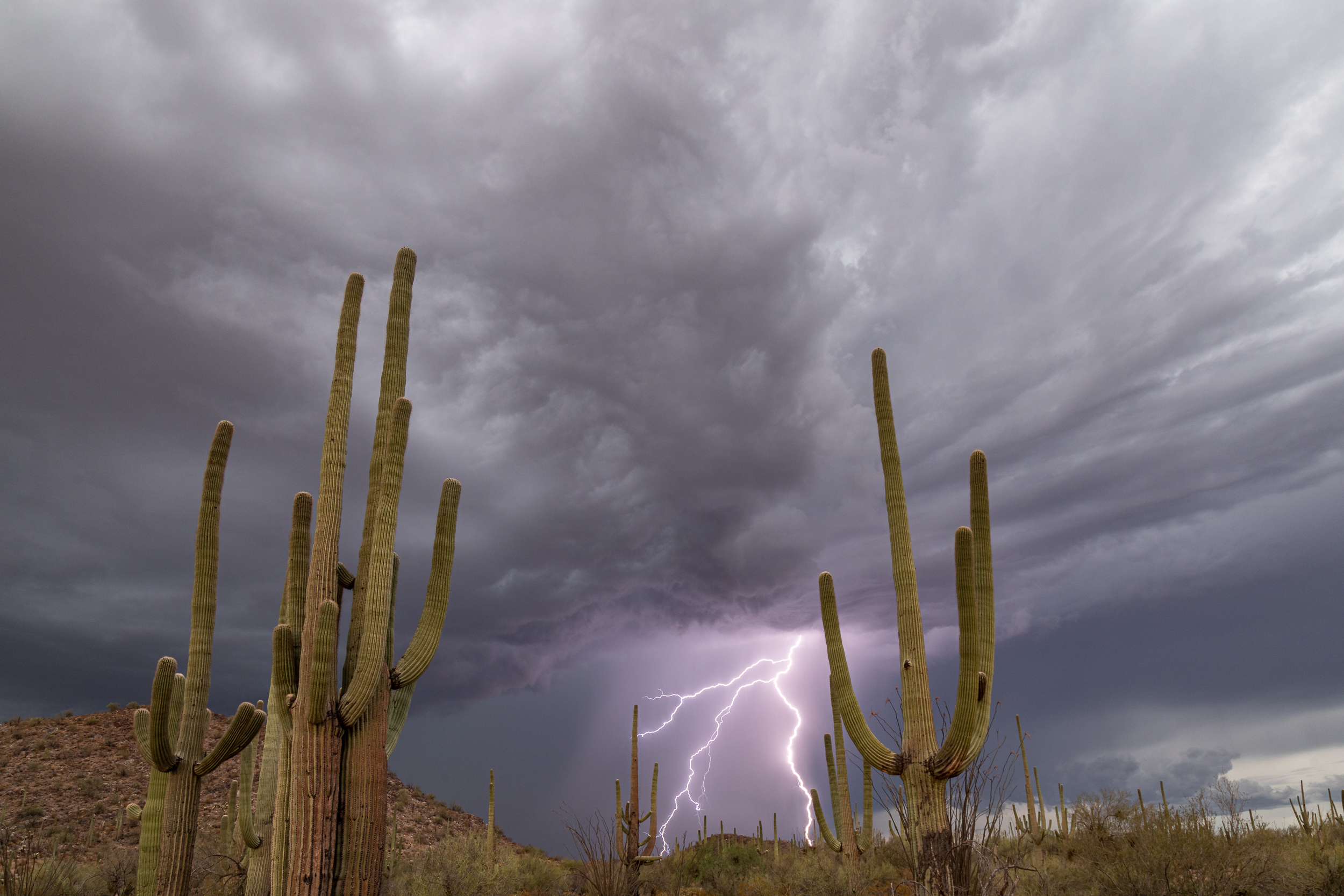
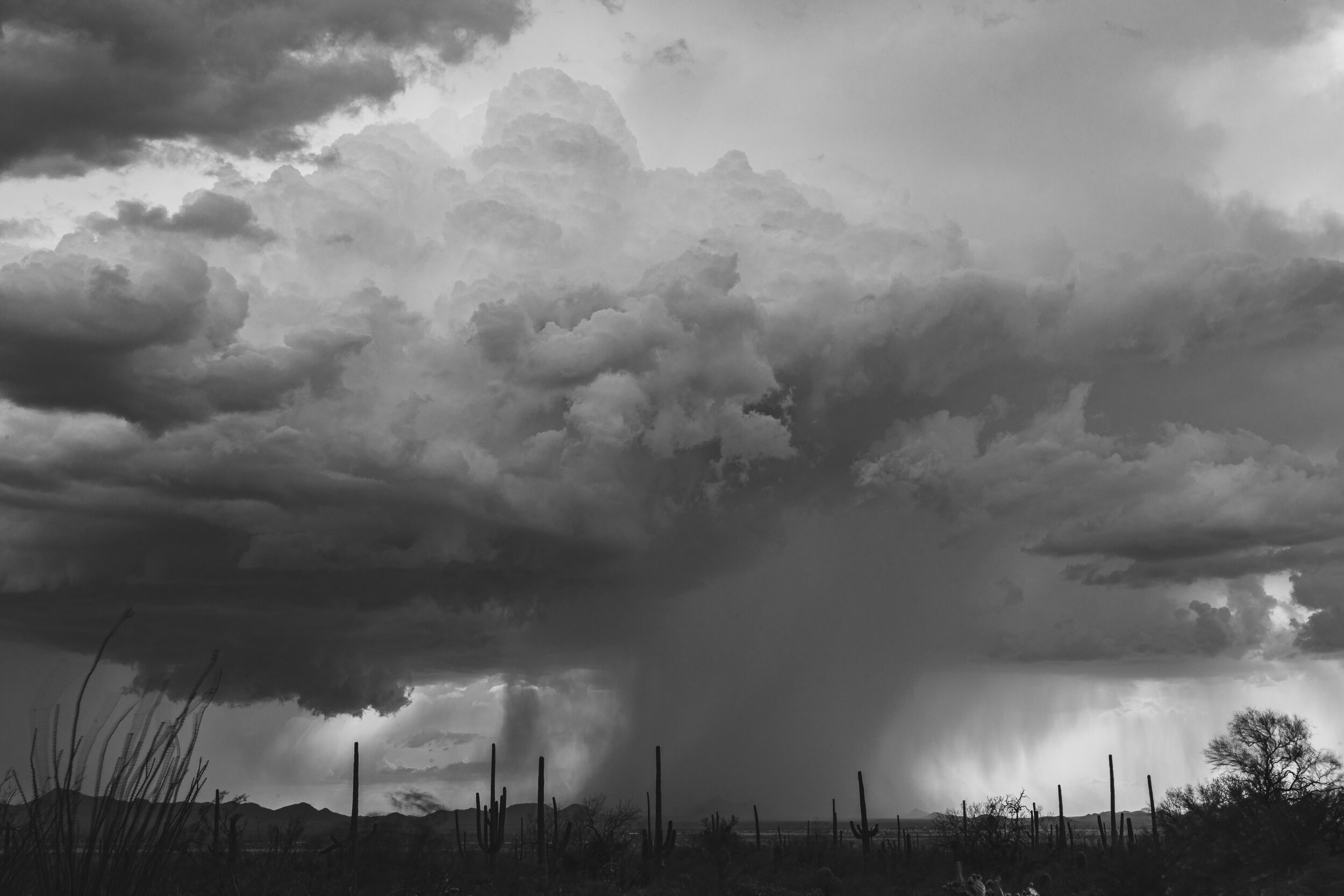
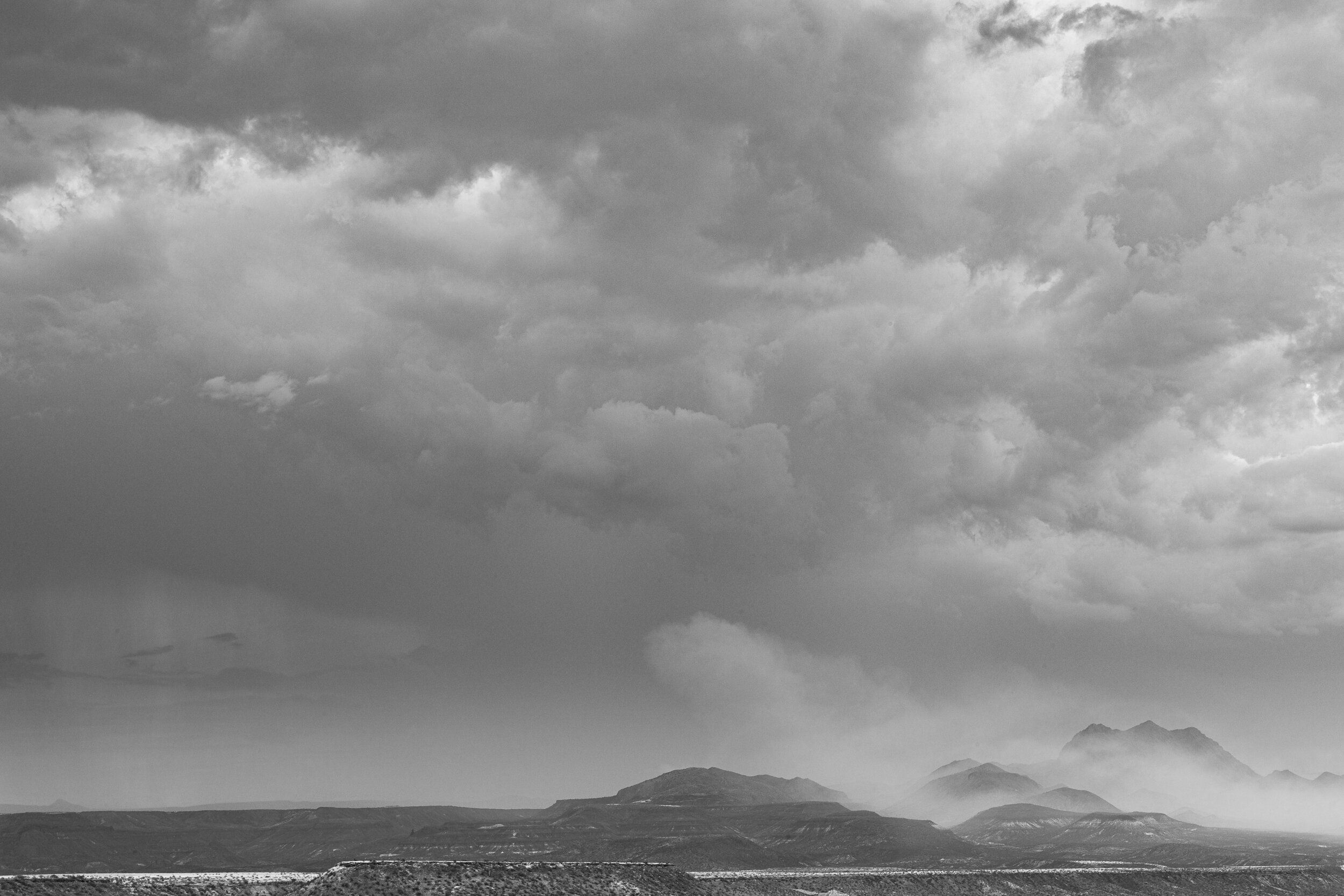
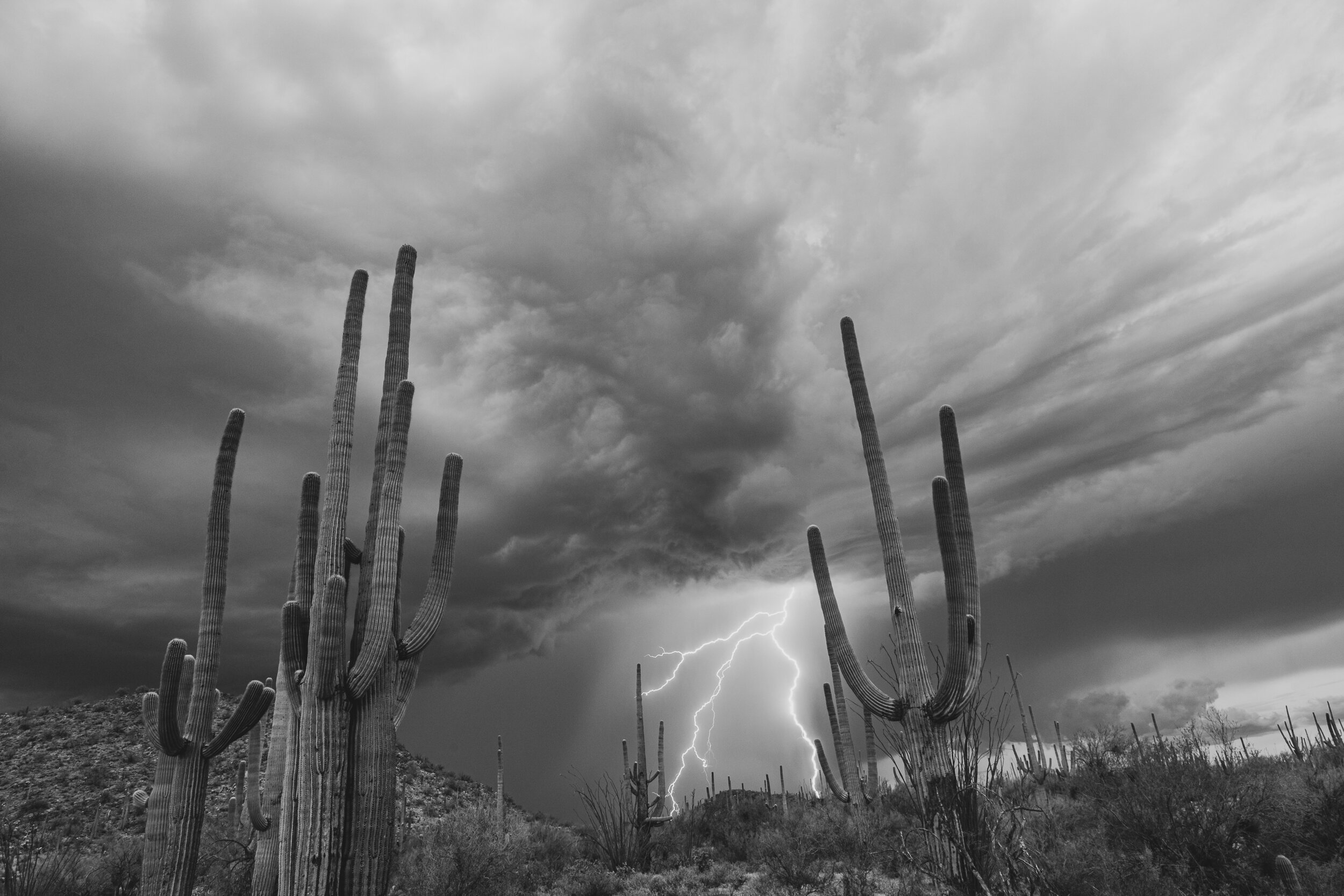
I tell people I went Storm Chasing in Arizona and they’re thinking of the movie Twister where people are tracking tornados and driving crazy to catch them.
In Arizona it’s chasing the monsoonal weather that comes up from Mexico in the summertime. The goal is to catch the lightning without getting wet. Turns out that is not as easy as it sounds. You want to get close enough so the “sparks” are the major part of the image, but not so close that any proceeding rain gets your camera gear wet.
I learned this from Ken Sklute of Serendipity Visuals. He is local to Arizona and besides being a professional photographer he is a professional hot air balloon pilot, so who better to learn weather tracking from?
We spent 5 days, really evenings by the time we got where we wanted to go, from San Carlos/Peridot in the East to Tucson’s Saguaro National Park to the South and a few points in between. We encountered rainbows, rain, hail, wind, lightning and sunsets as only Arizona can provide.
Photo Gallery
Locations
As noted by the yellow boxes

This spring I hosted a meetup at the Living Desert in Palm Desert. The weather had been mild to that point so wasn’t expecting the 90+ degree temperatures that Palm Desert was offering.
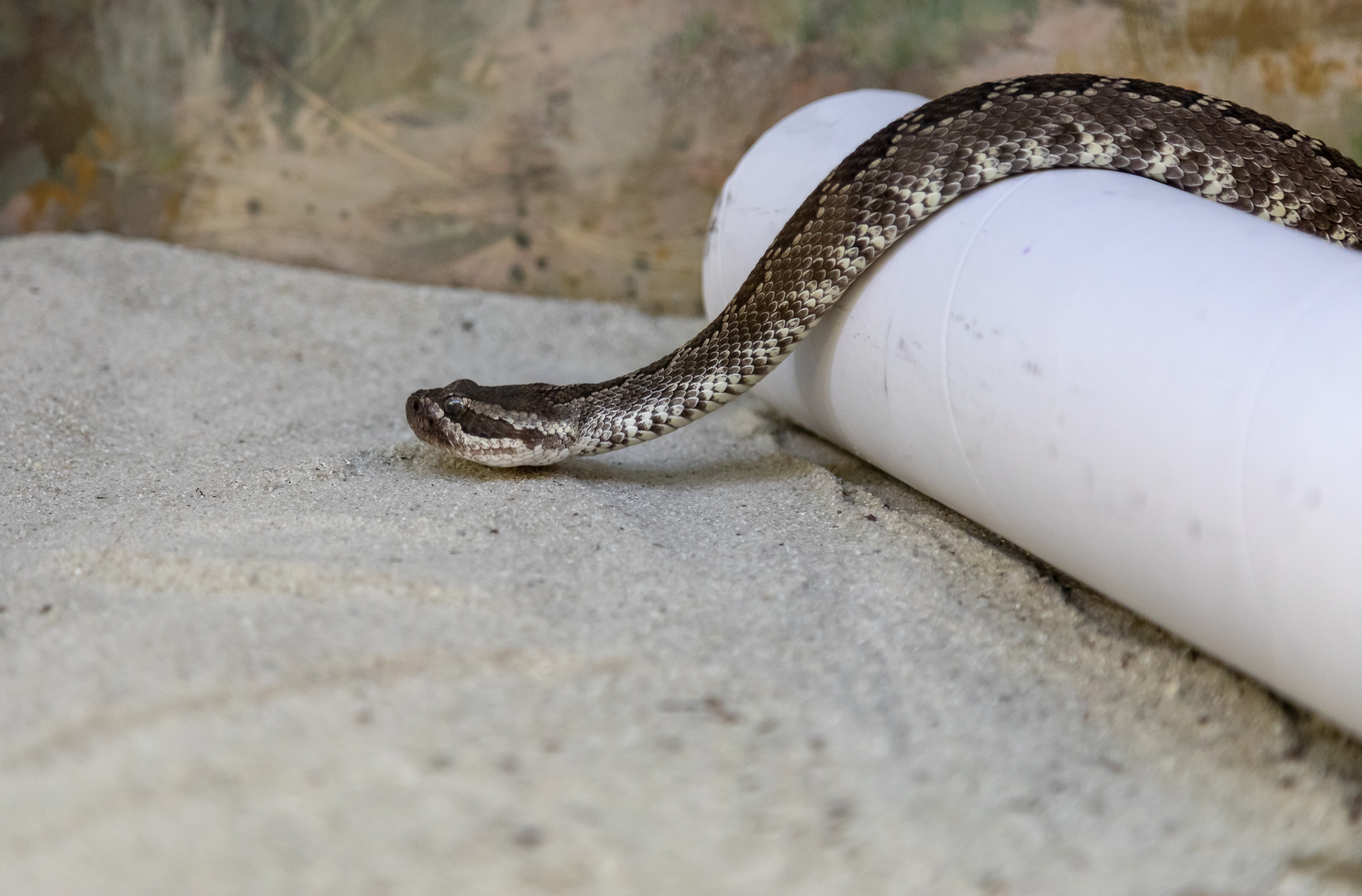
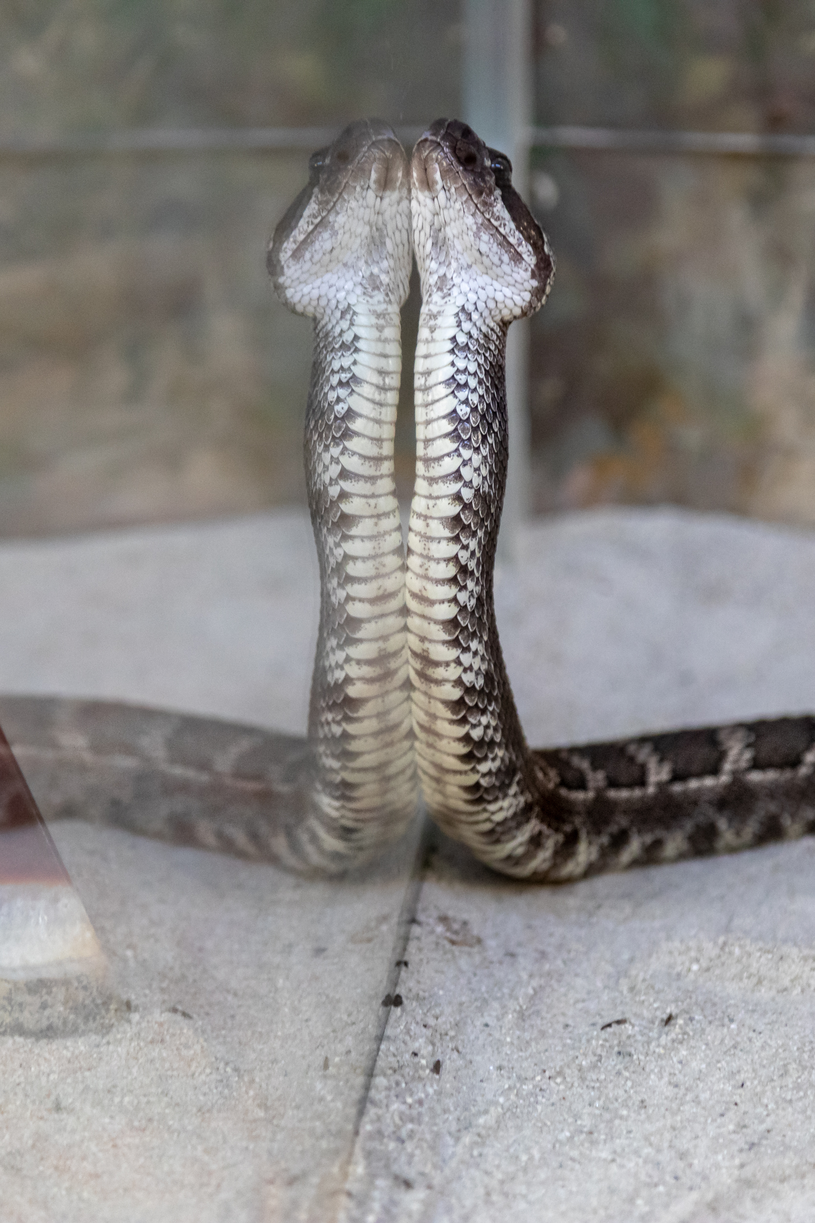
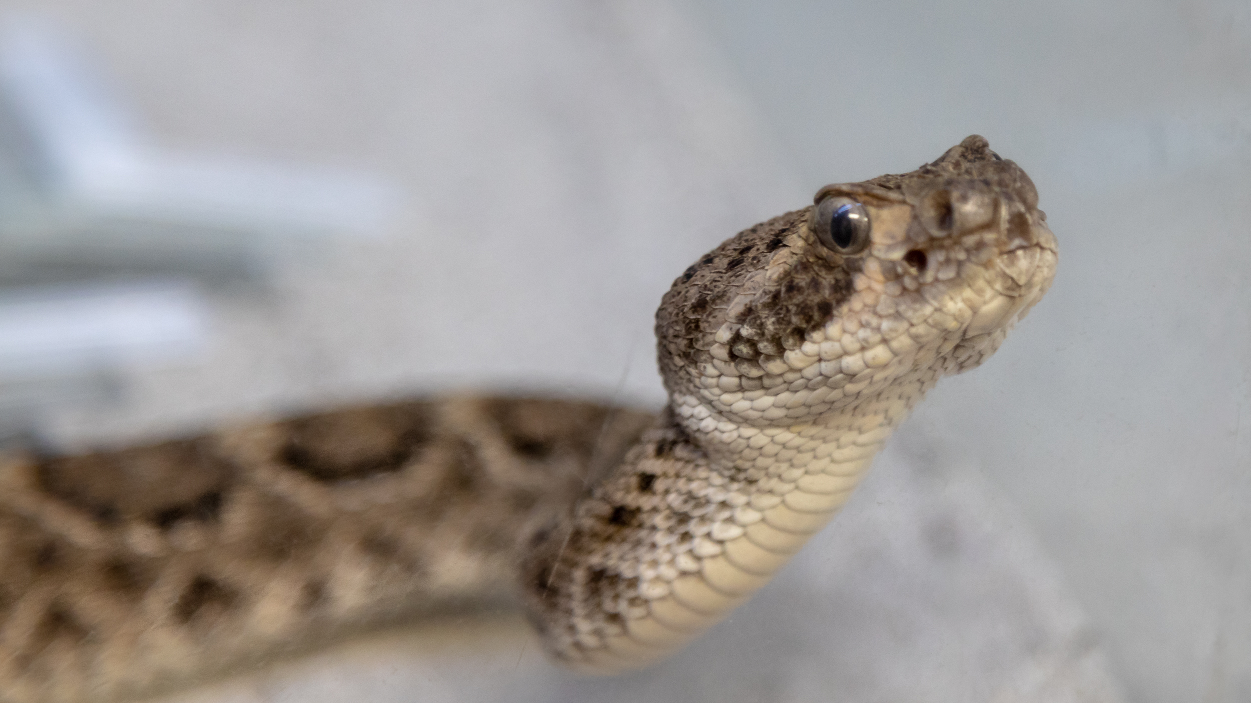
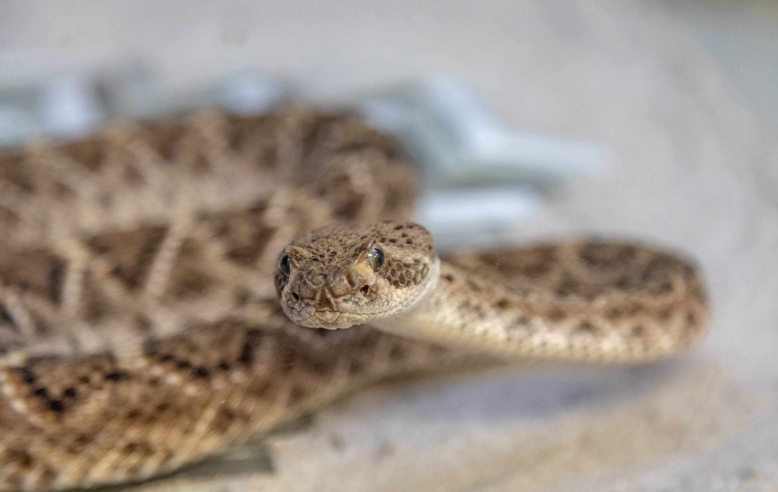
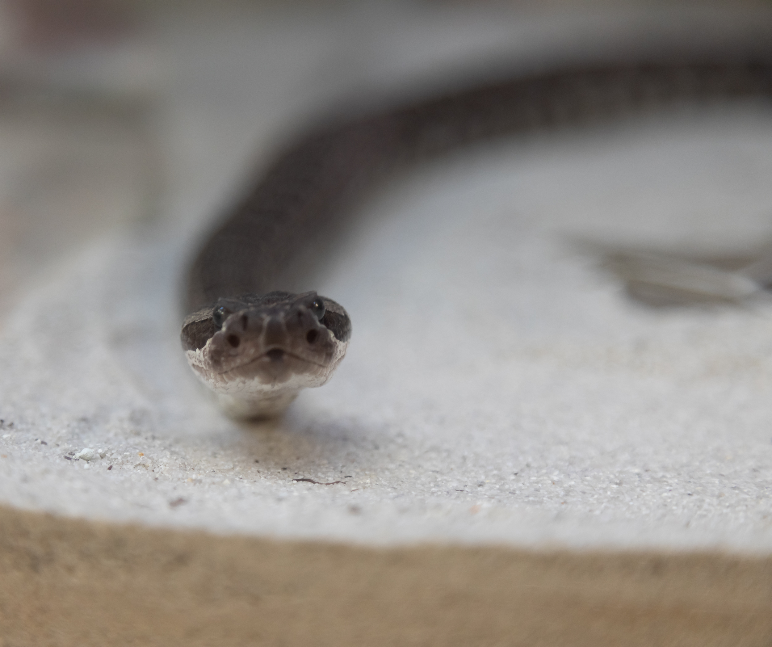
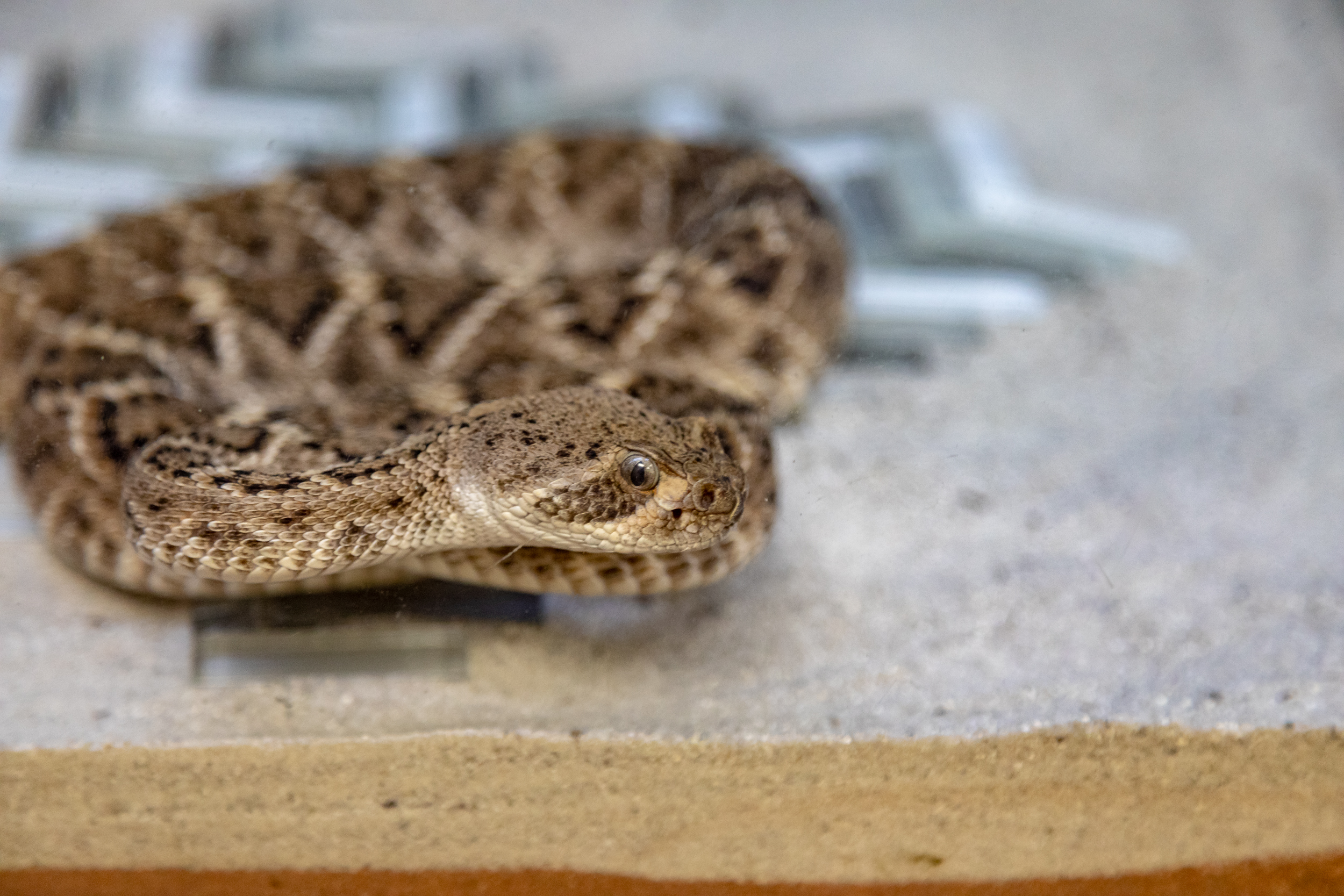
By mid-day we were looking for a cooler location to hang out and decided to tour the Reptile House. Reptile houses are not usually my favorite location for photography due to the low light and subjects behind reflective glass. Not to mention the subjects are usually not moving…so I was a bit surprised to turn the corner and be face to face with a rattlesnake crawling up the glass

I changed my camera settings due to the low light to the point the area in focus is very small. Actually too small really, but I’ll claim artistic license 😉
The two Southern Pacific and Western Diamondback were very active and on the move. I had fun with the reflections which you view by scrolling through the gallery below
After watching how actives these snakes were and being really glad they were behind glass, it was a bit unnerving to leave the reptile house only to be faced with this sign..

Location Details
Every year the Ocean Institute in Dana Point hosts a Tall Ship Festival presented by Toshiba. While there are several aspects to the festival to photograph I’ve mainly focused on photographing the Sunset Cannon battles. This is where the participating Tall Ships leave Dana Point Harbor, raise their sails and simulate cannon battles by firing off gunpowder from their canons.
Read MoreThe day started with a stop at Snow-line Orchard for some mini cider donuts and coffee while looking for photo opportunities in the surrounding apple orchards.
Read More